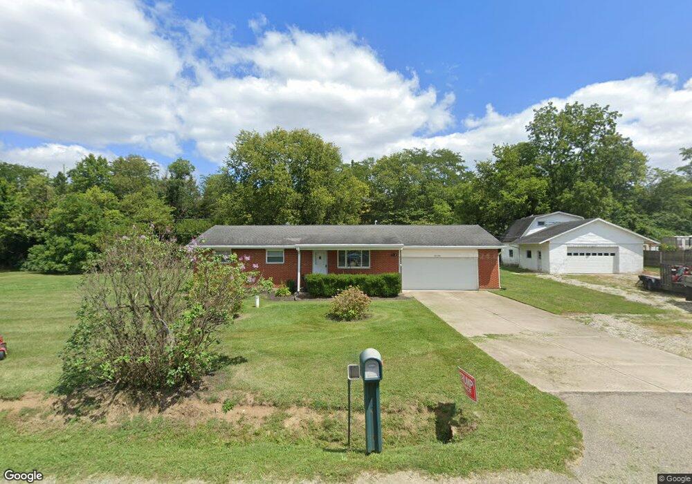
6118 O Neall Rd Waynesville, OH 45068
Wayne Township NeighborhoodEstimated Value: $230,000 - $259,000
2
Beds
1
Bath
1,040
Sq Ft
$234/Sq Ft
Est. Value
About This Home
This home is located at 6118 O Neall Rd, Waynesville, OH 45068 and is currently estimated at $243,070, approximately $233 per square foot. 6118 O Neall Rd is a home located in Warren County with nearby schools including Waynesville Elementary School, Waynesville Middle School, and Waynesville High School.
Ownership History
Date
Name
Owned For
Owner Type
Purchase Details
Closed on
Mar 22, 2021
Sold by
Cook Odis
Bought by
Cook Family Trust and Alexander
Current Estimated Value
Purchase Details
Closed on
Mar 18, 2021
Sold by
Alexander Diann L and The Cook Family Trust
Bought by
Gabbard Jamie R and Gabbard Keith
Purchase Details
Closed on
Sep 24, 2003
Sold by
Cook Odis and Cook Brenda S
Bought by
Cook Odis and Cook Brenda S
Purchase Details
Closed on
Jan 8, 1982
Sold by
Cook Cook and Cook Thelma
Create a Home Valuation Report for This Property
The Home Valuation Report is an in-depth analysis detailing your home's value as well as a comparison with similar homes in the area
Home Values in the Area
Average Home Value in this Area
Purchase History
| Date | Buyer | Sale Price | Title Company |
|---|---|---|---|
| Cook Family Trust | -- | -- | |
| Gabbard Jamie R | $162,000 | None Available | |
| Cook Odis | -- | -- | |
| -- | -- | -- |
Source: Public Records
Tax History Compared to Growth
Tax History
| Year | Tax Paid | Tax Assessment Tax Assessment Total Assessment is a certain percentage of the fair market value that is determined by local assessors to be the total taxable value of land and additions on the property. | Land | Improvement |
|---|---|---|---|---|
| 2024 | $2,472 | $60,420 | $19,670 | $40,750 |
| 2023 | $2,174 | $46,630 | $10,521 | $36,109 |
| 2022 | $2,072 | $46,631 | $10,521 | $36,110 |
| 2021 | $1,614 | $46,631 | $10,521 | $36,110 |
| 2020 | $1,441 | $37,912 | $8,554 | $29,358 |
| 2019 | $1,441 | $37,912 | $8,554 | $29,358 |
| 2018 | $1,442 | $37,912 | $8,554 | $29,358 |
| 2017 | $1,312 | $33,506 | $7,651 | $25,855 |
| 2016 | $1,224 | $33,506 | $7,651 | $25,855 |
| 2015 | $1,226 | $33,506 | $7,651 | $25,855 |
| 2014 | $1,178 | $31,310 | $7,150 | $24,160 |
| 2013 | $1,175 | $37,450 | $8,550 | $28,900 |
Source: Public Records
Map
Nearby Homes
- Tract 2 O'Neall Rd
- Tract 3 O'Neall Rd
- 5669 O Neall Rd
- 4 Corwin Rd
- 127 New Burlington Rd
- 0 Ohio 73 Unit 944080
- 0 Trillium Dr Unit 943456
- 155 S Main St
- 196 S 3rd St
- 6363 Trillium Dr
- 401 Wilkerson Ln
- 53 S 4th St
- 460 Miami St
- 437 N Main St
- 350 Somerset Ln
- 4752 E Lower Springboro Rd
- 363 Victoria Place
- 0 E Lytle Five Points Rd Unit 902447
- 6748 Rivers Edge Ct
- 7219 N Us Rt 42
- 6158 O Neall Rd
- 6078 O Neall Rd
- 6130 St Rt 73
- 6194 O Neall Rd
- 6032 O Neall Rd
- 6078 E State Route 73
- 6260 Corwin Rd
- 10.8 ac Corwin Rd
- 48ac Corwin Rd
- 6073 E State Route 73
- 6080 E State Route 73
- 6230 Corwin Rd
- 6326 Corwin Rd
- 6310 Smith Rd
- 6170 Corwin Rd
- 6092 E State Route 73
- 6102 Corwin Rd
- 6102 Corwin Rd
- 6374 Corwin Rd
- 6252 St Rt 73