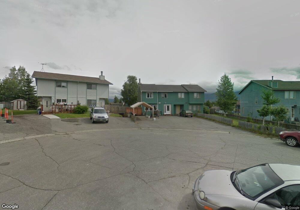
6119 Doil Cir Anchorage, AK 99507
Abbott Loop NeighborhoodEstimated Value: $296,338 - $623,000
2
Beds
2
Baths
1,239
Sq Ft
$356/Sq Ft
Est. Value
About This Home
This home is located at 6119 Doil Cir, Anchorage, AK 99507 and is currently estimated at $441,585, approximately $356 per square foot. 6119 Doil Cir is a home located in Anchorage Municipality with nearby schools including Lake Otis Elementary School, Wendler Middle School, and Bettye Davis East Anchorage High School.
Ownership History
Date
Name
Owned For
Owner Type
Purchase Details
Closed on
Feb 25, 2010
Sold by
Weber Angela D and Weber Casey C
Bought by
Sealy Heather A
Current Estimated Value
Purchase Details
Closed on
Nov 6, 2006
Sold by
Mcwilliams Eben M
Bought by
Weber Casey C R
Home Financials for this Owner
Home Financials are based on the most recent Mortgage that was taken out on this home.
Original Mortgage
$175,500
Interest Rate
6.12%
Mortgage Type
Purchase Money Mortgage
Purchase Details
Closed on
Mar 19, 2003
Sold by
Elizabeth Y Dahl Testamentary Trust and Dahl Family Limited Partnership
Bought by
Mcwilliams Eben M
Home Financials for this Owner
Home Financials are based on the most recent Mortgage that was taken out on this home.
Original Mortgage
$127,991
Interest Rate
5.82%
Mortgage Type
FHA
Create a Home Valuation Report for This Property
The Home Valuation Report is an in-depth analysis detailing your home's value as well as a comparison with similar homes in the area
Home Values in the Area
Average Home Value in this Area
Purchase History
| Date | Buyer | Sale Price | Title Company |
|---|---|---|---|
| Sealy Heather A | -- | -- | |
| Weber Casey C R | -- | None Available | |
| Mcwilliams Eben M | -- | -- |
Source: Public Records
Mortgage History
| Date | Status | Borrower | Loan Amount |
|---|---|---|---|
| Previous Owner | Weber Casey C R | $175,500 | |
| Previous Owner | Mcwilliams Eben M | $127,991 | |
| Closed | Sealy Heather A | $0 |
Source: Public Records
Tax History
| Year | Tax Paid | Tax Assessment Tax Assessment Total Assessment is a certain percentage of the fair market value that is determined by local assessors to be the total taxable value of land and additions on the property. | Land | Improvement |
|---|---|---|---|---|
| 2025 | $2,859 | $269,000 | $82,000 | $187,000 |
| 2024 | $2,859 | $252,100 | $82,000 | $170,100 |
| 2023 | $3,655 | $214,600 | $82,200 | $132,400 |
| 2022 | $2,883 | $214,000 | $82,000 | $132,000 |
| 2021 | $3,554 | $197,200 | $82,000 | $115,200 |
| 2020 | $2,597 | $191,200 | $82,000 | $109,200 |
| 2019 | $2,657 | $203,000 | $82,000 | $121,000 |
| 2018 | $2,474 | $188,600 | $60,600 | $128,000 |
| 2017 | $2,793 | $198,200 | $60,600 | $137,600 |
| 2016 | $2,472 | $191,800 | $58,300 | $133,500 |
| 2015 | $2,472 | $181,300 | $58,300 | $123,000 |
| 2014 | $2,472 | $177,800 | $58,300 | $119,500 |
Source: Public Records
Map
Nearby Homes
- 3361 Doil Dr
- 6270 Norm Dr
- 2990 Summer Mist Ct Unit 74
- 2973 Misty Springs Ct Unit 117
- 2977 Summer Sun Ct Unit 166
- 3840 E 64th Ave
- 3026 E 68th Ave
- L1 Miranda Dr
- L2 Miranda Dr
- L21 Moraine Cir
- NHN Clogia Lot 3
- 7141 Clogia Cir
- 5409 Samoa St Unit 7C
- 2638 Lauren Creek Loop Unit 14
- 2800 E Dowling Rd
- 7340 Biglerville Cir
- L9A Laurel St
- L26 B2 Laurel Acres
- L25 B2 Laurel Acres
- 7239 O'Brien St
Your Personal Tour Guide
Ask me questions while you tour the home.