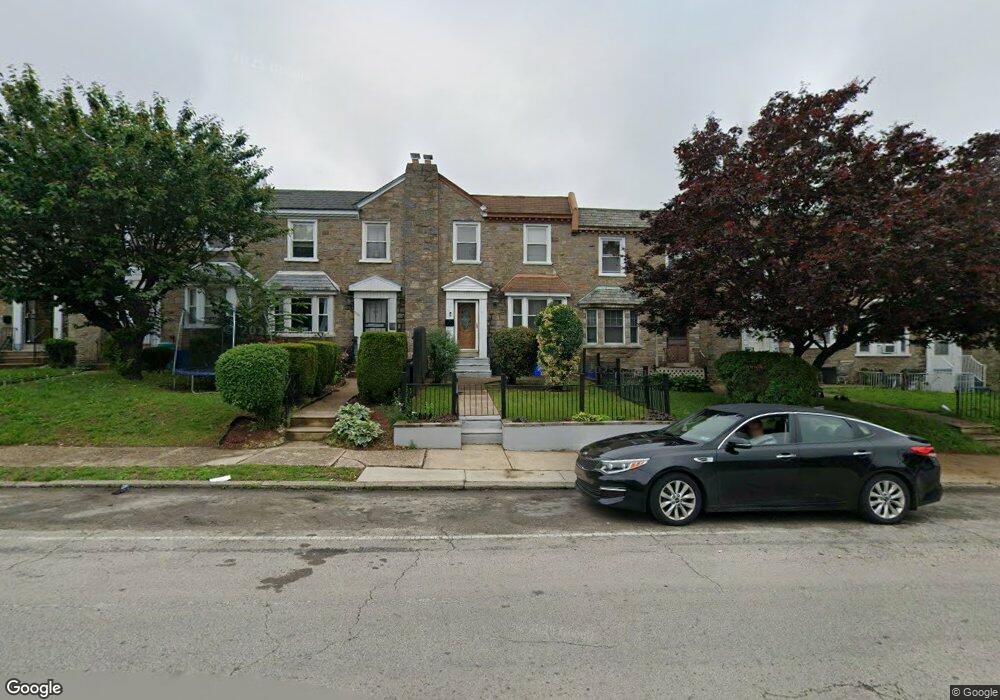
6119 Loretto Ave Philadelphia, PA 19149
Oxford Circle NeighborhoodEstimated Value: $210,000 - $255,000
4
Beds
1
Bath
1,520
Sq Ft
$158/Sq Ft
Est. Value
About This Home
This home is located at 6119 Loretto Ave, Philadelphia, PA 19149 and is currently estimated at $240,496, approximately $158 per square foot. 6119 Loretto Ave is a home located in Philadelphia County with nearby schools including Laura H Carnell School, Harding Warren G Middle School, and Samuel Fels High School.
Ownership History
Date
Name
Owned For
Owner Type
Purchase Details
Closed on
Oct 19, 2006
Sold by
Pierre Kenole
Bought by
Belcombe Marie Lucina
Current Estimated Value
Purchase Details
Closed on
Aug 29, 2003
Sold by
Schwartz Mitchell and Schwartz Alice
Bought by
Pierre Kenole
Home Financials for this Owner
Home Financials are based on the most recent Mortgage that was taken out on this home.
Original Mortgage
$62,900
Outstanding Balance
$29,139
Interest Rate
6.22%
Mortgage Type
Unknown
Estimated Equity
$211,357
Create a Home Valuation Report for This Property
The Home Valuation Report is an in-depth analysis detailing your home's value as well as a comparison with similar homes in the area
Home Values in the Area
Average Home Value in this Area
Purchase History
| Date | Buyer | Sale Price | Title Company |
|---|---|---|---|
| Belcombe Marie Lucina | -- | None Available | |
| Pierre Kenole | $92,900 | -- |
Source: Public Records
Mortgage History
| Date | Status | Borrower | Loan Amount |
|---|---|---|---|
| Open | Pierre Kenole | $62,900 |
Source: Public Records
Tax History Compared to Growth
Tax History
| Year | Tax Paid | Tax Assessment Tax Assessment Total Assessment is a certain percentage of the fair market value that is determined by local assessors to be the total taxable value of land and additions on the property. | Land | Improvement |
|---|---|---|---|---|
| 2025 | $2,634 | $237,500 | $47,500 | $190,000 |
| 2024 | $2,634 | $237,500 | $47,500 | $190,000 |
| 2023 | $2,634 | $188,200 | $37,640 | $150,560 |
| 2022 | $1,247 | $143,200 | $37,640 | $105,560 |
| 2021 | $1,877 | $0 | $0 | $0 |
| 2020 | $1,877 | $0 | $0 | $0 |
| 2019 | $1,802 | $0 | $0 | $0 |
| 2018 | $1,243 | $0 | $0 | $0 |
| 2017 | $1,663 | $0 | $0 | $0 |
| 2016 | $1,243 | $0 | $0 | $0 |
| 2015 | $1,592 | $0 | $0 | $0 |
| 2014 | -- | $118,800 | $24,840 | $93,960 |
| 2012 | -- | $14,272 | $2,219 | $12,053 |
Source: Public Records
Map
Nearby Homes
- 6114 Alma St
- 6111 Castor Ave
- 6135 Castor Ave
- 6008 Alma St
- 1428 Higbee St
- 6012 Belden St
- 1439 Higbee St
- 1154 Devereaux Ave
- 5958 Loretto Ave
- 1438 Higbee St
- 6049 Frontenac St
- 1468 Stevens St
- 6239 Castor Ave
- 5937 Belden St
- 1227 Hale St
- 1217 Hale St
- 1507 Benner St
- 1427 Robbins Ave
- 5900 Loretto Ave
- 6000 Agusta St