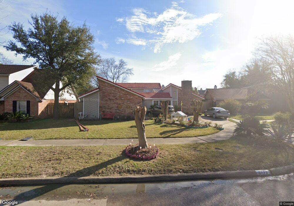
6119 Vinewood Dr Houston, TX 77088
Greater Inwood NeighborhoodEstimated Value: $244,000 - $285,000
4
Beds
3
Baths
2,598
Sq Ft
$105/Sq Ft
Est. Value
About This Home
This home is located at 6119 Vinewood Dr, Houston, TX 77088 and is currently estimated at $271,840, approximately $104 per square foot. 6119 Vinewood Dr is a home located in Harris County with nearby schools including Edward a Vines EC/Pre-K/K School, J. Ruth Smith Elementary, and Hoffman Middle School.
Ownership History
Date
Name
Owned For
Owner Type
Purchase Details
Closed on
Mar 19, 2004
Sold by
Mercurio Andrew Paul and Mercurio Joyce L
Bought by
Fullen Roger
Current Estimated Value
Home Financials for this Owner
Home Financials are based on the most recent Mortgage that was taken out on this home.
Original Mortgage
$102,393
Outstanding Balance
$47,988
Interest Rate
5.71%
Mortgage Type
FHA
Estimated Equity
$223,852
Create a Home Valuation Report for This Property
The Home Valuation Report is an in-depth analysis detailing your home's value as well as a comparison with similar homes in the area
Home Values in the Area
Average Home Value in this Area
Purchase History
| Date | Buyer | Sale Price | Title Company |
|---|---|---|---|
| Fullen Roger | -- | Alamo Title Company |
Source: Public Records
Mortgage History
| Date | Status | Borrower | Loan Amount |
|---|---|---|---|
| Open | Fullen Roger | $102,393 |
Source: Public Records
Tax History Compared to Growth
Tax History
| Year | Tax Paid | Tax Assessment Tax Assessment Total Assessment is a certain percentage of the fair market value that is determined by local assessors to be the total taxable value of land and additions on the property. | Land | Improvement |
|---|---|---|---|---|
| 2025 | $5,213 | $229,716 | $37,204 | $192,512 |
| 2024 | $5,213 | $229,716 | $37,204 | $192,512 |
| 2023 | $5,213 | $229,716 | $37,204 | $192,512 |
| 2022 | $4,294 | $179,000 | $22,527 | $156,473 |
| 2021 | $4,788 | $190,605 | $14,336 | $176,269 |
| 2020 | $3,758 | $142,382 | $14,336 | $128,046 |
| 2019 | $3,765 | $136,042 | $14,336 | $121,706 |
| 2018 | $1,626 | $113,209 | $14,336 | $98,873 |
| 2017 | $3,003 | $113,209 | $14,336 | $98,873 |
| 2016 | $3,003 | $113,209 | $14,336 | $98,873 |
| 2015 | $2,343 | $113,209 | $14,336 | $98,873 |
| 2014 | $2,343 | $88,036 | $14,336 | $73,700 |
Source: Public Records
Map
Nearby Homes
- 6918 Bent Branch Dr
- 6202 Wagonwheel Cir
- 6931 Wagonwheel Ln
- 6338 Maple Hill Dr
- 7606 Victory Dr
- 7146 Bayou Forest Dr
- 5907 Darkwood Dr
- 6310 Silver Chalice Dr
- 5906 Lawn Ln
- 7211 Deep Forest Dr
- 5914 Lawn Ln
- 7218 Jadewood Dr Unit 770
- 6311 Fairwood Dr
- 7219 Ridge Oak Dr
- 6407 Deirdre Anne Dr
- 7526 Antoine Dr
- 7402 Alabonson Rd Unit 506
- 7402 Alabonson Rd Unit 309
- 7402 Alabonson Rd Unit 510
- 7402 Alabonson Rd Unit 108
- 6115 Vinewood Dr
- 6123 Vinewood Dr
- 6111 Vinewood Dr
- 6127 Vinewood Dr
- 6903 Bent Branch Dr
- 6107 Vinewood Dr
- 6907 Bent Branch Dr
- 0 Vinewood CI Cir
- 0 Vinewood Unit 351345
- 6906 Wagonwheel Ln
- 6907 Vinewood Cir
- 6991 Alabonson Rd
- 0 Alabonson Unit 58805327
- 6910 Wagonwheel Ln
- 6830 Wagonwheel Ln
- 6826 Wagonwheel Ln
- 6911 Vinewood Cir
- 6911 Bent Branch Dr
- 6918 Wagonwheel Ln
- 6822 Wagonwheel Ln