61192 Colorado 69 Westcliffe, CO 81252
Estimated Value: $529,000 - $914,000
5
Beds
2
Baths
3,018
Sq Ft
$243/Sq Ft
Est. Value
About This Home
This home is located at 61192 Colorado 69, Westcliffe, CO 81252 and is currently estimated at $732,430, approximately $242 per square foot. 61192 Colorado 69 is a home located in Custer County with nearby schools including Custer County Elementary School, Custer Middle School, and Custer County High School.
Ownership History
Date
Name
Owned For
Owner Type
Purchase Details
Closed on
May 17, 2019
Sold by
Martin John D and Estate Of John D Martin
Bought by
Jennifer Mooney Bass Dpm Exempt Gst Trust
Current Estimated Value
Home Financials for this Owner
Home Financials are based on the most recent Mortgage that was taken out on this home.
Original Mortgage
$375,000
Outstanding Balance
$286,733
Interest Rate
4%
Mortgage Type
New Conventional
Estimated Equity
$445,697
Purchase Details
Closed on
Jan 21, 1994
Sold by
Martin John D and Martin Yvonne L
Bought by
Martin John D
Purchase Details
Closed on
Jun 22, 1988
Sold by
Bowlds William
Bought by
Martin John D
Purchase Details
Closed on
May 1, 1983
Sold by
Sharp Richard
Bought by
Bowlds William N
Create a Home Valuation Report for This Property
The Home Valuation Report is an in-depth analysis detailing your home's value as well as a comparison with similar homes in the area
Home Values in the Area
Average Home Value in this Area
Purchase History
| Date | Buyer | Sale Price | Title Company |
|---|---|---|---|
| Jennifer Mooney Bass Dpm Exempt Gst Trust | $495,000 | None Listed On Document | |
| Jennifer Mooney Bass Dpm Gst Trust | -- | -- | |
| Martin John D | -- | -- | |
| Martin John D | $124,200 | -- | |
| Bowlds William N | $125,300 | -- |
Source: Public Records
Mortgage History
| Date | Status | Borrower | Loan Amount |
|---|---|---|---|
| Open | Jennifer Mooney Bass Dpm Gst Trust | $375,000 | |
| Closed | Jennifer Mooney Bass Dpm Gst Trust | $375,000 |
Source: Public Records
Tax History Compared to Growth
Tax History
| Year | Tax Paid | Tax Assessment Tax Assessment Total Assessment is a certain percentage of the fair market value that is determined by local assessors to be the total taxable value of land and additions on the property. | Land | Improvement |
|---|---|---|---|---|
| 2024 | $2,289 | $40,010 | $0 | $0 |
| 2023 | $2,289 | $40,010 | $0 | $0 |
| 2022 | $1,618 | $25,130 | $310 | $24,820 |
| 2021 | $1,661 | $25,130 | $310 | $24,820 |
| 2020 | $1,482 | $22,700 | $300 | $22,400 |
| 2019 | $1,474 | $22,700 | $300 | $22,400 |
| 2018 | $1,273 | $19,490 | $280 | $19,210 |
| 2017 | $778 | $19,230 | $70 | $19,160 |
| 2016 | $780 | $20,780 | $260 | $20,520 |
| 2015 | -- | $258,188 | $905 | $257,283 |
| 2012 | $1,243 | $261,043 | $747 | $260,296 |
Source: Public Records
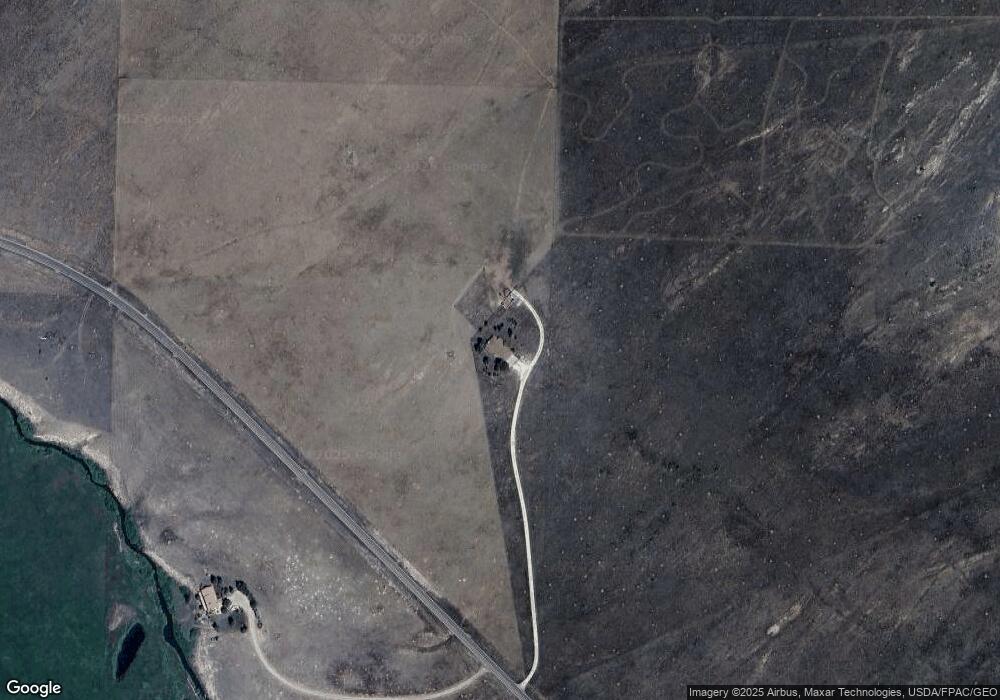
Map
Nearby Homes
- 378 Lone Tree Cir
- 75 Muirfield Dr
- 1660 Lone Tree Cir
- 2 Inverness Ave
- 1970 Cr 241
- 1970 County Road 241
- 900 County Rd 241
- 900 County Road 241
- 1605 County Rd 243
- 1400 County Road 243
- 138 Jerry Dr
- 70 Mineral Rd
- 70 Mineral Rd Unit 87
- 144 Jerry Dr
- 60 Pyrite Cir
- 104 Crista Ln
- 1605 County Road 243
- Lot 31 Pyrite Cir
- 85 Pyrite Cir
- 114 Jerry Dr
- 61192 State Highway 69
- 61211 State Highway 69
- 1209 Lone Tree Cir
- 1209 Lone Tree Cir Unit 14
- 61199 State Highway 69
- 60992 State Highway 69
- 60992 Hwy 69
- 60992 State Highway 69 Unit 12
- 335 Range View Dr
- 60860 State Highway 69
- 60860 State Highway 69 Unit 11
- 60860 State Highway 69
- 872 Lone Tree Cir Unit 24
- 1336 Lone Tree Cir
- 501 Rangeview Dr
- 501 Range View Dr
- 415 Lone Tree Cir
- 620 Lone Tree Cir
- TBD Lone Tree Cir Unit 26
- 804 Copper Gulch Rd Unit GULCH