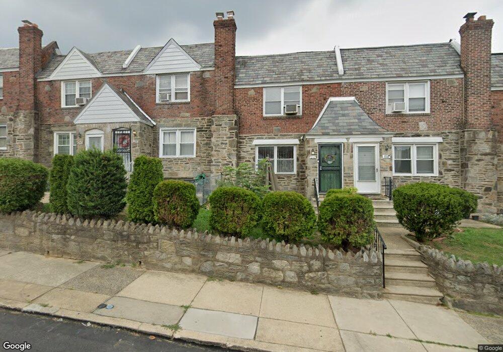
612 Andover Rd Upper Darby, PA 19082
Estimated Value: $160,000 - $193,000
3
Beds
2
Baths
1,314
Sq Ft
$139/Sq Ft
Est. Value
About This Home
This home is located at 612 Andover Rd, Upper Darby, PA 19082 and is currently estimated at $182,548, approximately $138 per square foot. 612 Andover Rd is a home located in Delaware County with nearby schools including Upper Darby High School, Vision Academy Charter School, and SS. Cyril & Philomena Catholic School.
Ownership History
Date
Name
Owned For
Owner Type
Purchase Details
Closed on
Apr 21, 2005
Sold by
Ray Eric E
Bought by
Walcott Lloyd and Walcott Marvia
Current Estimated Value
Purchase Details
Closed on
Apr 30, 2001
Sold by
Ward Rosemary and Mcginley Rosemary
Bought by
Ray Eric E
Home Financials for this Owner
Home Financials are based on the most recent Mortgage that was taken out on this home.
Original Mortgage
$68,458
Interest Rate
6.85%
Mortgage Type
FHA
Purchase Details
Closed on
Jan 30, 1995
Sold by
Tela Louis and Tela Louis G
Bought by
Mcginley Rosemary
Home Financials for this Owner
Home Financials are based on the most recent Mortgage that was taken out on this home.
Original Mortgage
$54,150
Interest Rate
9.13%
Create a Home Valuation Report for This Property
The Home Valuation Report is an in-depth analysis detailing your home's value as well as a comparison with similar homes in the area
Home Values in the Area
Average Home Value in this Area
Purchase History
| Date | Buyer | Sale Price | Title Company |
|---|---|---|---|
| Walcott Lloyd | $86,000 | American Land Transfer Assoc | |
| Ray Eric E | $69,900 | T A Title Insurance Company | |
| Mcginley Rosemary | $57,000 | T A Title Insurance Company |
Source: Public Records
Mortgage History
| Date | Status | Borrower | Loan Amount |
|---|---|---|---|
| Previous Owner | Ray Eric E | $68,458 | |
| Previous Owner | Mcginley Rosemary | $54,150 |
Source: Public Records
Tax History Compared to Growth
Tax History
| Year | Tax Paid | Tax Assessment Tax Assessment Total Assessment is a certain percentage of the fair market value that is determined by local assessors to be the total taxable value of land and additions on the property. | Land | Improvement |
|---|---|---|---|---|
| 2025 | $3,929 | $92,900 | $14,320 | $78,580 |
| 2024 | $3,929 | $92,900 | $14,320 | $78,580 |
| 2023 | $3,892 | $92,900 | $14,320 | $78,580 |
| 2022 | $3,787 | $92,900 | $14,320 | $78,580 |
| 2021 | $5,107 | $92,900 | $14,320 | $78,580 |
| 2020 | $3,659 | $56,560 | $17,900 | $38,660 |
| 2019 | $3,594 | $56,560 | $17,900 | $38,660 |
| 2018 | $3,553 | $56,560 | $0 | $0 |
| 2017 | $3,461 | $56,560 | $0 | $0 |
| 2016 | $310 | $56,560 | $0 | $0 |
| 2015 | $317 | $56,560 | $0 | $0 |
| 2014 | $317 | $56,560 | $0 | $0 |
Source: Public Records
Map
Nearby Homes
- 6858 Clover Ln
- 703 Briarcliff Rd
- 607 Briarcliff Rd
- 7000 Greenwood Ave
- 7046 Radbourne Rd
- 6243 Carpenter St
- 558 Snowden Rd
- 540 Snowden Rd
- 7042 Clinton Rd
- 6230 Carpenter St
- 7123 Seaford Rd
- 7129 Seaford Rd
- 7162 Radbourne Rd
- 6217 Cobbs Creek Pkwy
- 7155 Radbourne Rd
- 7026 Atlantic Ave
- 6212 Ellsworth St
- 719 Cobbs Creek Pkwy
- 726 Copley Rd
- 6202 Ellsworth St