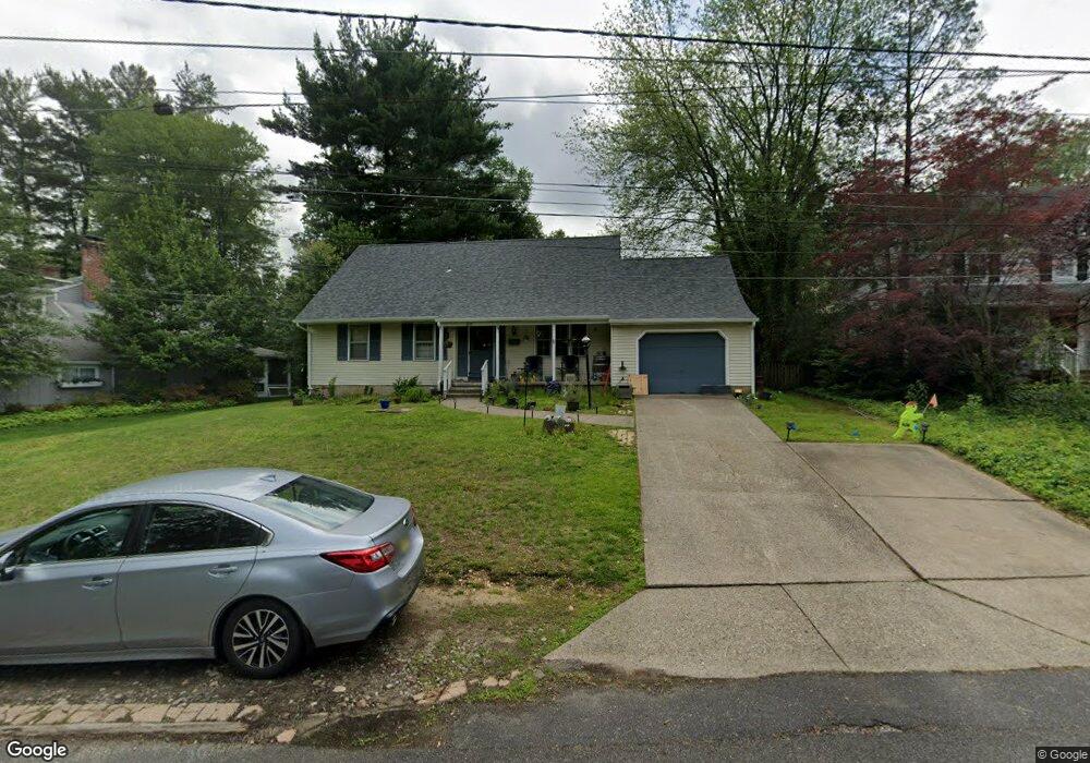
612 Coles Mill Rd Haddonfield, NJ 08033
Estimated Value: $600,296 - $985,000
Studio
--
Bath
2,078
Sq Ft
$395/Sq Ft
Est. Value
About This Home
This home is located at 612 Coles Mill Rd, Haddonfield, NJ 08033 and is currently estimated at $821,574, approximately $395 per square foot. 612 Coles Mill Rd is a home located in Camden County with nearby schools including Haddonfield Memorial High School, Christ the King Regional School, and Haddonfield Friends School.
Ownership History
Date
Name
Owned For
Owner Type
Purchase Details
Closed on
Jun 13, 2025
Sold by
Resnick Saul and Resnick Samuel
Bought by
Resnick Samuel D and Resnick Jody K
Current Estimated Value
Home Financials for this Owner
Home Financials are based on the most recent Mortgage that was taken out on this home.
Original Mortgage
$460,000
Outstanding Balance
$458,831
Interest Rate
6.86%
Mortgage Type
New Conventional
Estimated Equity
$362,743
Purchase Details
Closed on
May 10, 2022
Sold by
Saul Resnick
Bought by
Resnick Saul and Resnick Samuel
Home Financials for this Owner
Home Financials are based on the most recent Mortgage that was taken out on this home.
Original Mortgage
$350,000
Interest Rate
5.1%
Mortgage Type
New Conventional
Purchase Details
Closed on
Jul 26, 1995
Sold by
Warren Peter
Bought by
Resnick Saul and Resnick Dorothy
Home Financials for this Owner
Home Financials are based on the most recent Mortgage that was taken out on this home.
Original Mortgage
$135,000
Interest Rate
7.48%
Create a Home Valuation Report for This Property
The Home Valuation Report is an in-depth analysis detailing your home's value as well as a comparison with similar homes in the area
Home Values in the Area
Average Home Value in this Area
Purchase History
| Date | Buyer | Sale Price | Title Company |
|---|---|---|---|
| Resnick Samuel D | -- | None Listed On Document | |
| Resnick Samuel D | -- | None Listed On Document | |
| Resnick Saul | -- | Presidential Title | |
| Resnick Saul | -- | Presidential Title | |
| Resnick Saul | $200,000 | -- |
Source: Public Records
Mortgage History
| Date | Status | Borrower | Loan Amount |
|---|---|---|---|
| Open | Resnick Samuel D | $460,000 | |
| Closed | Resnick Samuel D | $460,000 | |
| Previous Owner | Resnick Saul | $350,000 | |
| Previous Owner | Resnick Saul | $135,000 |
Source: Public Records
Tax History
| Year | Tax Paid | Tax Assessment Tax Assessment Total Assessment is a certain percentage of the fair market value that is determined by local assessors to be the total taxable value of land and additions on the property. | Land | Improvement |
|---|---|---|---|---|
| 2025 | $11,305 | $349,900 | $209,500 | $140,400 |
| 2024 | $11,155 | $349,900 | $209,500 | $140,400 |
| 2023 | $11,155 | $349,900 | $209,500 | $140,400 |
| 2022 | $11,067 | $349,900 | $209,500 | $140,400 |
| 2021 | $10,107 | $349,900 | $209,500 | $140,400 |
| 2020 | $10,934 | $349,900 | $209,500 | $140,400 |
| 2019 | $108 | $349,900 | $209,500 | $140,400 |
| 2018 | $10,717 | $349,900 | $209,500 | $140,400 |
| 2017 | $10,462 | $349,900 | $209,500 | $140,400 |
| 2016 | $10,228 | $349,900 | $209,500 | $140,400 |
| 2015 | $9,944 | $349,900 | $209,500 | $140,400 |
| 2014 | $9,724 | $349,900 | $209,500 | $140,400 |
Source: Public Records
Map
Nearby Homes
- 870 Cedar Ave
- 840 Cedar Ave
- 801 Cedar Ave
- 1602 Park Blvd
- 504 Park Place Dr
- 633 S Edge Park Dr
- 1 Webster Ave
- 1405 Farrell Ave Unit 138
- 1405 Farrell Ave Unit 326
- 1405 Farrell Ave Unit 137
- 1405 Farrell Ave Unit 203
- 1405 Farrell Ave Unit 325
- 612 Grove St
- 210 Meadow Dr
- 318 Ardmore Ave
- 1205 Severn Ave
- 1210 Severn Ave
- 105 Denver Ave
- 237 Virginia Ave
- 904 Mercer St
- 616 Coles Mill Rd
- 619 Pardee Ln
- 623 Pardee Ln
- 624 Coles Mill Rd
- 604 Coles Mill Rd
- 609 Pardee Ln
- 627 Pardee Ln
- 601 Pardee Ln
- 626 Coles Mill Rd
- 612 Pardee Ln
- 616 Pardee Ln
- 608 Pardee Ln
- 620 Pardee Ln
- 635 Pardee Ln
- 624 Pardee Ln
- 600 Pardee Ln
- 880 Grove St
- 628 Pardee Ln
- 613 N Edge Park Dr
- 619 N Edge Park Dr
Your Personal Tour Guide
Ask me questions while you tour the home.