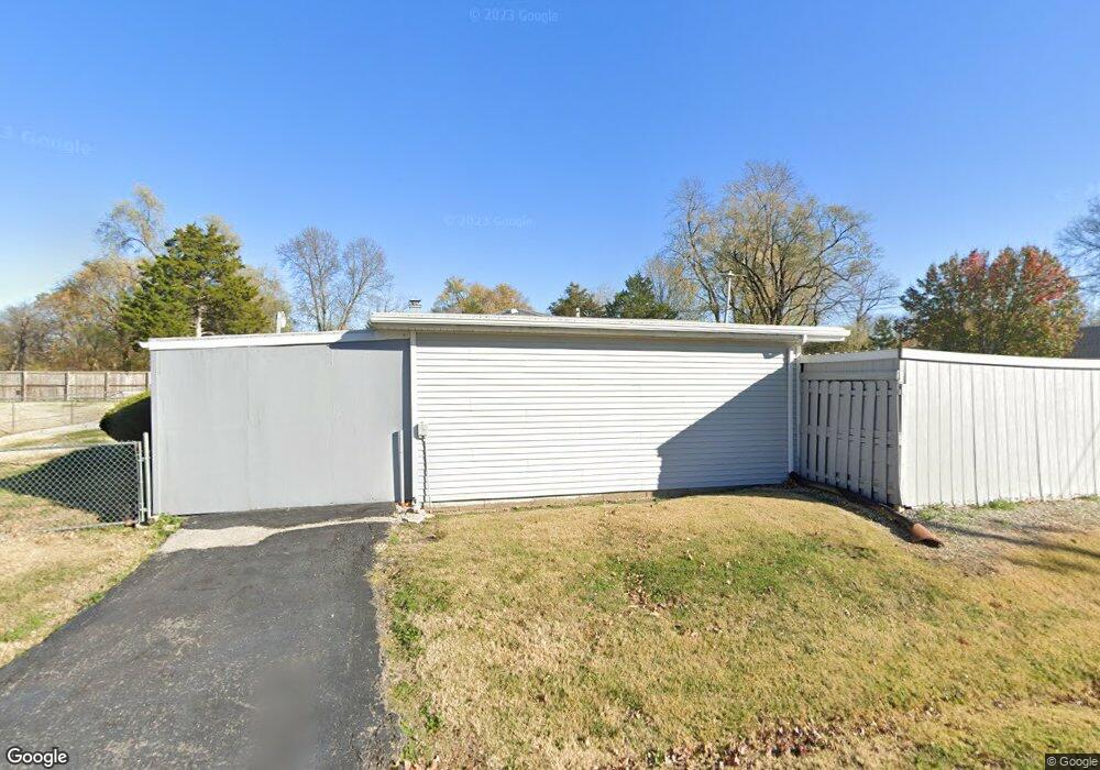
612 Drost St Maryville, IL 62062
Estimated Value: $169,579 - $292,000
3
Beds
2
Baths
1,112
Sq Ft
$200/Sq Ft
Est. Value
About This Home
This home is located at 612 Drost St, Maryville, IL 62062 and is currently estimated at $222,145, approximately $199 per square foot. 612 Drost St is a home located in Madison County with nearby schools including Maryville Elementary School, Dorris Intermediate School, and Collinsville Middle School.
Ownership History
Date
Name
Owned For
Owner Type
Purchase Details
Closed on
May 4, 2023
Sold by
Ross Samuel J and Ross Chelsea
Bought by
Hubecky Matthew J and Hubecky Kara R
Current Estimated Value
Home Financials for this Owner
Home Financials are based on the most recent Mortgage that was taken out on this home.
Original Mortgage
$257,245
Outstanding Balance
$250,840
Interest Rate
6.99%
Mortgage Type
New Conventional
Estimated Equity
-$28,695
Purchase Details
Closed on
Mar 20, 2015
Sold by
Osborn Kelsey
Bought by
Seaman Henry E and Seaman Marian M
Create a Home Valuation Report for This Property
The Home Valuation Report is an in-depth analysis detailing your home's value as well as a comparison with similar homes in the area
Home Values in the Area
Average Home Value in this Area
Purchase History
| Date | Buyer | Sale Price | Title Company |
|---|---|---|---|
| Hubecky Matthew J | $270,500 | Abstracts & Titles | |
| Seaman Henry E | -- | Abstracts & Titles Inc |
Source: Public Records
Mortgage History
| Date | Status | Borrower | Loan Amount |
|---|---|---|---|
| Open | Hubecky Matthew J | $257,245 |
Source: Public Records
Tax History Compared to Growth
Tax History
| Year | Tax Paid | Tax Assessment Tax Assessment Total Assessment is a certain percentage of the fair market value that is determined by local assessors to be the total taxable value of land and additions on the property. | Land | Improvement |
|---|---|---|---|---|
| 2024 | $583 | $50,780 | $7,500 | $43,280 |
| 2023 | $583 | $46,490 | $6,820 | $39,670 |
| 2022 | $595 | $42,990 | $6,310 | $36,680 |
| 2021 | $620 | $40,390 | $5,930 | $34,460 |
| 2020 | $628 | $38,540 | $5,660 | $32,880 |
| 2019 | $633 | $42,520 | $5,470 | $37,050 |
| 2018 | $638 | $40,280 | $5,180 | $35,100 |
| 2017 | $2,103 | $39,480 | $5,080 | $34,400 |
| 2016 | $665 | $39,480 | $5,080 | $34,400 |
| 2015 | $651 | $38,460 | $4,950 | $33,510 |
| 2014 | $651 | $38,460 | $4,950 | $33,510 |
| 2013 | $651 | $38,460 | $4,950 | $33,510 |
Source: Public Records
Map
Nearby Homes
- 501 Drost St
- 137 W Zupan St
- 419 N Donk Ave
- 1005 Daniel Dr
- 1313 Jacquelyn Ct
- 1014 Daniel Dr
- 1029 Andra Dr
- 912 Oakridge Dr
- 201 S Lange Ave
- 29 Dogwood Terrace
- 53 Cheshire Dr
- 14 Lou Juan Dr
- 2790 Deerfield Dr
- 6020 Keebler Oaks Dr
- 2723 Keebler Rd
- 1 Heather Green
- 24 Alta St
- 22 Oak Valley Dr
- 2301 Preswyck Ct
- 104 Summit Ridge Unit 104
- 2550 Williams St
- 608 Drost St
- 801 Westwood Village
- 803 Westwood Village Unit 5
- 807 Westwood Village
- 811 Westwood Village Unit 1
- 811 Westwood Dr
- 803 Westwood Rd
- 811 Westwood Rd
- 806 Westwood Village
- 802 Westwood Village
- 804 Westwood Village
- 806 Westwood Rd
- 25 Arbor Crest Ct
- 805 Westwood Village
- 809 Westwood Village Unit 2
- 807 Westwood Dr
- 800 Westwood Village Unit 804
- 800 Westwood Dr
- 600 Drost St