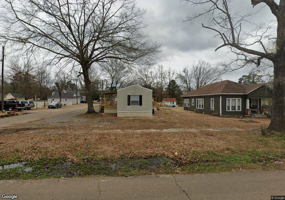
612 E Main St Gurdon, AR 71743
Estimated Value: $83,000
Studio
1
Bath
1,064
Sq Ft
$78/Sq Ft
Est. Value
About This Home
This home is located at 612 E Main St, Gurdon, AR 71743 and is currently estimated at $83,000, approximately $78 per square foot. 612 E Main St is a home located in Clark County with nearby schools including Gurdon Primary School, Cabe Middle School, and Gurdon High School.
Ownership History
Date
Name
Owned For
Owner Type
Purchase Details
Closed on
Jun 18, 2018
Sold by
Clark County Sheriff & Collector
Bought by
Clark County Ar
Current Estimated Value
Purchase Details
Closed on
Jan 29, 2014
Sold by
Robert W Robert W and Coplen Melanie
Bought by
Williams Paul and Williams Jenny
Purchase Details
Closed on
Jul 27, 2006
Bought by
Williams Paul and Jenny And
Purchase Details
Closed on
Jun 29, 2004
Bought by
State
Purchase Details
Closed on
Aug 9, 2001
Bought by
Williams Paul and Jenny And
Purchase Details
Closed on
May 1, 1993
Bought by
Vance Donna Gail
Purchase Details
Closed on
Aug 1, 1988
Bought by
Thomas
Create a Home Valuation Report for This Property
The Home Valuation Report is an in-depth analysis detailing your home's value as well as a comparison with similar homes in the area
Purchase History
| Date | Buyer | Sale Price | Title Company |
|---|---|---|---|
| Clark County Ar | -- | None Available | |
| Williams Paul | -- | -- | |
| Williams Paul | -- | -- | |
| State | -- | -- | |
| Williams Paul | $23,000 | -- | |
| Vance Donna Gail | $35,000 | -- | |
| Thomas | $6,000 | -- |
Source: Public Records
Tax History
| Year | Tax Paid | Tax Assessment Tax Assessment Total Assessment is a certain percentage of the fair market value that is determined by local assessors to be the total taxable value of land and additions on the property. | Land | Improvement |
|---|---|---|---|---|
| 2025 | $31 | $700 | $700 | $0 |
| 2024 | $28 | $500 | $500 | $0 |
| 2023 | $195 | $4,030 | $500 | $3,530 |
| 2022 | $195 | $4,030 | $500 | $3,530 |
| 2021 | $195 | $4,030 | $500 | $3,530 |
| 2020 | $195 | $4,030 | $500 | $3,530 |
| 2019 | $195 | $4,030 | $500 | $3,530 |
| 2018 | $193 | $4,030 | $500 | $3,530 |
| 2017 | $193 | $4,030 | $500 | $3,530 |
| 2016 | $193 | $4,030 | $500 | $3,530 |
| 2015 | $193 | $4,030 | $500 | $3,530 |
| 2014 | $247 | $5,150 | $500 | $4,650 |
Source: Public Records
Map
Nearby Homes
- 0000 Arkansas 53
- 109 N 7th St
- 907 Seahorn St
- 910 E Pine St
- 0 S 6th St
- 1107 Dogwood Dr
- 705 N 9th St
- 505 Meadowbrook Dr
- 313 W Miller St
- TBD Kansas Rd
- 000 Red Springs Rd
- 7104 Highway 67 S
- 1795 Bowen Hill Rd
- 0 Highway 53 Unit 24588554
- TBD Hwy 67 S
- TBD Hwy 67
- 58 Dodgen Rd
- 845 Stevenson Rd
- 1414 Ar-53 South Hwy
- 602 Stevenson Rd
Your Personal Tour Guide
Ask me questions while you tour the home.