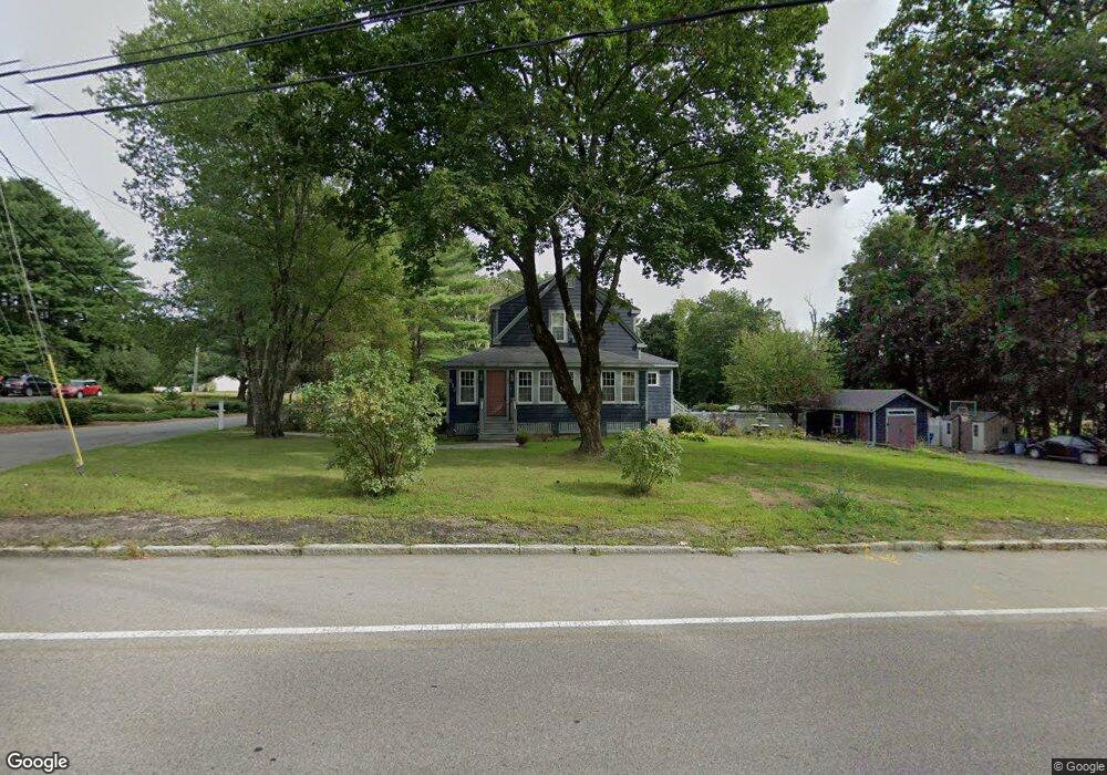
612 East St Wrentham, MA 02093
Estimated Value: $580,000 - $832,000
3
Beds
3
Baths
2,334
Sq Ft
$314/Sq Ft
Est. Value
About This Home
This home is located at 612 East St, Wrentham, MA 02093 and is currently estimated at $733,422, approximately $314 per square foot. 612 East St is a home located in Norfolk County with nearby schools including Delaney Elementary School, Charles E Roderick, and Foxborough Regional Charter School.
Ownership History
Date
Name
Owned For
Owner Type
Purchase Details
Closed on
Jun 25, 2002
Sold by
Pfeiffer Paul A and Pfeiffer Jennifer M
Bought by
Manzi Robert A and Manzi Erin M
Current Estimated Value
Home Financials for this Owner
Home Financials are based on the most recent Mortgage that was taken out on this home.
Original Mortgage
$246,000
Interest Rate
6.81%
Mortgage Type
Purchase Money Mortgage
Purchase Details
Closed on
Jun 26, 1998
Sold by
Desprez James J and Desprez Diane N
Bought by
Pfeiffer Paul A and Pfeiffer Jennifer M
Home Financials for this Owner
Home Financials are based on the most recent Mortgage that was taken out on this home.
Original Mortgage
$180,000
Interest Rate
7.09%
Mortgage Type
Purchase Money Mortgage
Purchase Details
Closed on
Dec 29, 1994
Sold by
Ambrose John J and Ambrose Judith M
Bought by
Desprez James J and Desprez Diane M
Purchase Details
Closed on
Jan 12, 1988
Sold by
Brown Scot P
Bought by
Ambrose John J
Create a Home Valuation Report for This Property
The Home Valuation Report is an in-depth analysis detailing your home's value as well as a comparison with similar homes in the area
Home Values in the Area
Average Home Value in this Area
Purchase History
| Date | Buyer | Sale Price | Title Company |
|---|---|---|---|
| Manzi Robert A | $308,000 | -- | |
| Pfeiffer Paul A | $193,000 | -- | |
| Desprez James J | $153,000 | -- | |
| Ambrose John J | $159,000 | -- |
Source: Public Records
Mortgage History
| Date | Status | Borrower | Loan Amount |
|---|---|---|---|
| Open | Ambrose John J | $360,000 | |
| Closed | Manzi Robert A | $246,000 | |
| Previous Owner | Ambrose John J | $180,000 | |
| Previous Owner | Ambrose John J | $132,750 |
Source: Public Records
Tax History Compared to Growth
Tax History
| Year | Tax Paid | Tax Assessment Tax Assessment Total Assessment is a certain percentage of the fair market value that is determined by local assessors to be the total taxable value of land and additions on the property. | Land | Improvement |
|---|---|---|---|---|
| 2025 | $7,880 | $679,900 | $265,900 | $414,000 |
| 2024 | $7,502 | $625,200 | $265,900 | $359,300 |
| 2023 | $7,638 | $605,200 | $241,800 | $363,400 |
| 2022 | $7,102 | $519,500 | $217,700 | $301,800 |
| 2021 | $6,922 | $492,000 | $194,400 | $297,600 |
| 2020 | $6,712 | $471,000 | $177,500 | $293,500 |
| 2019 | $6,528 | $462,300 | $177,500 | $284,800 |
| 2018 | $6,687 | $469,600 | $177,700 | $291,900 |
| 2017 | $6,388 | $448,300 | $174,300 | $274,000 |
| 2016 | $6,099 | $427,100 | $169,200 | $257,900 |
| 2015 | $5,751 | $383,900 | $147,900 | $236,000 |
| 2014 | $5,665 | $370,000 | $142,200 | $227,800 |
Source: Public Records
Map
Nearby Homes
- 362 East St
- 1 Lorraine Metcalf Dr
- 65 Pond St
- 270 Dedham St
- 25 Foxboro Rd
- 10 Nature View Dr
- 15 Nature View Dr
- 11 Goodwin Dr
- 7 Hill St Unit 10
- 483 Thurston St
- 20 Valley St Unit 20
- 10 W Birch Rd
- 71 Pond St
- 0 W Birch Rd
- 120 Hawes St
- 3 Oak Rd
- 319 Taunton St
- 246 Forest Grove Ave
- 131 Creek St Unit 7
- 11 Earle Stewart Ln