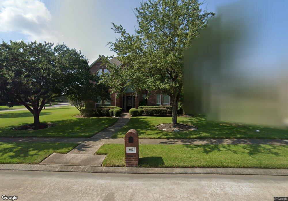
612 High Ridge Dr Friendswood, TX 77546
Estimated Value: $541,962 - $640,000
4
Beds
4
Baths
3,481
Sq Ft
$167/Sq Ft
Est. Value
About This Home
This home is located at 612 High Ridge Dr, Friendswood, TX 77546 and is currently estimated at $579,741, approximately $166 per square foot. 612 High Ridge Dr is a home located in Galveston County with nearby schools including C.W. Cline Elementary School, Windsong Elementary School, and Friendswood Junior High School.
Ownership History
Date
Name
Owned For
Owner Type
Purchase Details
Closed on
May 6, 2014
Sold by
Sansom Marc R and Thompson Sansom Tonya D
Bought by
Cain Joseph and Cain Aracely
Current Estimated Value
Home Financials for this Owner
Home Financials are based on the most recent Mortgage that was taken out on this home.
Original Mortgage
$278,400
Outstanding Balance
$211,736
Interest Rate
4.43%
Mortgage Type
New Conventional
Estimated Equity
$368,005
Purchase Details
Closed on
Oct 17, 2003
Sold by
J Patrick Homes Ltd
Bought by
Sansom Marc R
Home Financials for this Owner
Home Financials are based on the most recent Mortgage that was taken out on this home.
Original Mortgage
$254,364
Interest Rate
7.5%
Mortgage Type
Purchase Money Mortgage
Create a Home Valuation Report for This Property
The Home Valuation Report is an in-depth analysis detailing your home's value as well as a comparison with similar homes in the area
Home Values in the Area
Average Home Value in this Area
Purchase History
| Date | Buyer | Sale Price | Title Company |
|---|---|---|---|
| Cain Joseph | -- | Commonwealth Title Of Housto | |
| Sansom Marc R | -- | Stewart Title Company |
Source: Public Records
Mortgage History
| Date | Status | Borrower | Loan Amount |
|---|---|---|---|
| Open | Cain Joseph | $278,400 | |
| Previous Owner | Sansom Marc R | $254,364 |
Source: Public Records
Tax History Compared to Growth
Tax History
| Year | Tax Paid | Tax Assessment Tax Assessment Total Assessment is a certain percentage of the fair market value that is determined by local assessors to be the total taxable value of land and additions on the property. | Land | Improvement |
|---|---|---|---|---|
| 2025 | $8,102 | $502,580 | $46,330 | $456,250 |
| 2024 | $8,102 | $502,580 | $46,330 | $456,250 |
| 2023 | $8,102 | $480,624 | $0 | $0 |
| 2022 | $9,624 | $436,931 | $0 | $0 |
| 2021 | $9,278 | $397,210 | $46,330 | $350,880 |
| 2020 | $9,598 | $398,380 | $46,330 | $352,050 |
| 2019 | $9,559 | $376,460 | $46,330 | $330,130 |
| 2018 | $9,616 | $376,460 | $46,330 | $330,130 |
| 2017 | $9,753 | $376,460 | $46,330 | $330,130 |
| 2016 | $8,867 | $341,420 | $46,330 | $295,090 |
| 2015 | $3,102 | $341,420 | $46,330 | $295,090 |
| 2014 | $2,692 | $286,090 | $46,330 | $239,760 |
Source: Public Records
Map
Nearby Homes
- 705 High Ridge Dr
- 1010 High Ridge Dr
- 1906 Blue Quail Dr
- 2304 Old Rd
- 1802 Creekside Dr
- 506 Lakeside Ln
- 1217 Red Wing Dr
- 505 Hunters Ln
- 110 Century Dr
- 2316 Durango Bend Ln
- 2305 Farris Valley Ln
- 124 Lamar Canyon Ln
- 204 Oak Dr
- 1305 Edgewater Dr
- 808 Galloway Mist Ln
- 2202 Calm Pond Ct
- 2120 Lila Sky Ln
- 1811 Hunt Dr
- 1608 Keystone Dr
- 1509 Windsor Dr
- 610 High Ridge Dr
- 525 W Lake Dr
- 601 W Lake Dr
- 521 W Lake Dr
- 836 Falcon Lake Dr
- 606 High Ridge Dr
- 613 High Ridge Dr
- 609 High Ridge Dr
- 517 W Lake Dr
- 832 Falcon Lake Dr
- 617 High Ridge Dr
- 605 High Ridge Dr
- 602 High Ridge Dr
- 704 High Ridge Dr
- 513 W Lake Dr
- 801 W Lake Cir
- 526 W Lake Dr
- 601 High Ridge Dr
- 729 Falcon Lake Dr
- 518 W Lake Dr