612 Hillside Dr Kodiak, AK 99615
Estimated Value: $278,359 - $388,000
--
Bed
--
Bath
1,152
Sq Ft
$282/Sq Ft
Est. Value
About This Home
This home is located at 612 Hillside Dr, Kodiak, AK 99615 and is currently estimated at $324,786, approximately $281 per square foot. 612 Hillside Dr is a home located in Kodiak Island Borough with nearby schools including St. Mary's School.
Ownership History
Date
Name
Owned For
Owner Type
Purchase Details
Closed on
Dec 30, 2024
Sold by
Otto Gail S
Bought by
Acierto Eric and Acierto Rizielle
Current Estimated Value
Home Financials for this Owner
Home Financials are based on the most recent Mortgage that was taken out on this home.
Original Mortgage
$265,109
Outstanding Balance
$263,257
Interest Rate
6.78%
Mortgage Type
FHA
Estimated Equity
$61,529
Create a Home Valuation Report for This Property
The Home Valuation Report is an in-depth analysis detailing your home's value as well as a comparison with similar homes in the area
Home Values in the Area
Average Home Value in this Area
Purchase History
| Date | Buyer | Sale Price | Title Company |
|---|---|---|---|
| Acierto Eric | -- | First American Title |
Source: Public Records
Mortgage History
| Date | Status | Borrower | Loan Amount |
|---|---|---|---|
| Open | Acierto Eric | $265,109 |
Source: Public Records
Tax History Compared to Growth
Tax History
| Year | Tax Paid | Tax Assessment Tax Assessment Total Assessment is a certain percentage of the fair market value that is determined by local assessors to be the total taxable value of land and additions on the property. | Land | Improvement |
|---|---|---|---|---|
| 2025 | $2,862 | $258,300 | $38,000 | $220,300 |
| 2024 | $2,862 | $254,400 | $38,000 | $216,400 |
| 2023 | $2,746 | $224,200 | $26,900 | $197,300 |
| 2022 | $2,551 | $200,100 | $26,900 | $173,200 |
| 2021 | $2,560 | $200,800 | $26,900 | $173,900 |
| 2020 | $2,504 | $196,400 | $26,900 | $169,500 |
| 2019 | $2,504 | $196,400 | $26,900 | $169,500 |
| 2018 | $2,504 | $196,400 | $26,900 | $169,500 |
| 2017 | $2,380 | $186,700 | $26,900 | $159,800 |
| 2016 | -- | $187,400 | $28,000 | $159,400 |
| 2015 | -- | $185,500 | $28,000 | $157,500 |
| 2014 | -- | $185,500 | $28,000 | $157,500 |
| 2013 | -- | $180,400 | $28,000 | $152,400 |
Source: Public Records
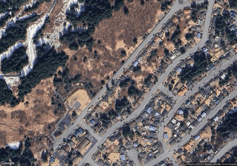
Map
Nearby Homes
- 523 Thorsheim St
- 716 Thorsheim St
- 416 Lower Mill Bay Rd
- 307 High St
- 1011 Willow St
- 321 Erskine Ave
- 821 E Tagura Rd
- 1216 Purtov St
- 1310 Madsen Ave
- 1310 Mission Rd
- 1314 Mission Rd
- 1411 Mission Rd
- 1614 Selief Ln
- 1716 Selief Ln
- 1720 E Rezanof Dr
- 1815 Chichenof St
- 110 Bancroft Dr
- 2129 Harbor Way
- 1679 Three Sisters Way
- 2156 Monashka Way
- 614 Hillside Dr
- 610 Hillside Dr
- 616 Hillside Dr
- 522 Hillside Dr
- 613 Thorsheim St
- 611 Thorsheim St
- 615 Thorsheim St
- 618 Hillside Dr
- 520 Hillside Dr
- 617 Thorsheim St
- 619 Thorsheim St
- 710 Hillside Dr
- 518 Hillside Dr
- 519 Thorsheim St
- 711 Thorsheim St
- 712 Hillside Dr
- 521 Thorsheim St
- 517 Thorsheim St
- 516 Hillside Dr
- 713 Thorsheim St