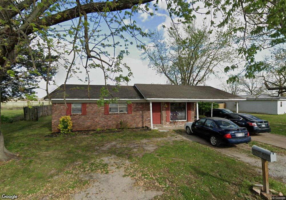
612 James St Newport, AR 72112
Estimated Value: $76,000 - $136,000
3
Beds
2
Baths
1,107
Sq Ft
$92/Sq Ft
Est. Value
About This Home
This home is located at 612 James St, Newport, AR 72112 and is currently estimated at $101,546, approximately $91 per square foot. 612 James St is a home located in Jackson County with nearby schools including Newport Elementary School and Newport High School.
Ownership History
Date
Name
Owned For
Owner Type
Purchase Details
Closed on
May 5, 2009
Bought by
Neal Dennis A
Current Estimated Value
Purchase Details
Closed on
Feb 9, 2009
Bought by
Us Bank National Association
Purchase Details
Closed on
Nov 8, 2006
Bought by
Manuel Margie and Manuel Ronald
Purchase Details
Closed on
May 8, 2006
Bought by
Jones Jimmie R and Jones Joyce L
Purchase Details
Closed on
Sep 4, 2002
Bought by
Smith Andrenna
Purchase Details
Closed on
Jul 5, 2000
Bought by
Smith John M and Smith Adrenna K
Purchase Details
Closed on
Jul 10, 1998
Bought by
Jones Joyce
Create a Home Valuation Report for This Property
The Home Valuation Report is an in-depth analysis detailing your home's value as well as a comparison with similar homes in the area
Home Values in the Area
Average Home Value in this Area
Purchase History
| Date | Buyer | Sale Price | Title Company |
|---|---|---|---|
| Neal Dennis A | $29,000 | -- | |
| Us Bank National Association | -- | -- | |
| Manuel Margie | $58,000 | -- | |
| Jones Jimmie R | -- | -- | |
| Smith Andrenna | -- | -- | |
| Smith John M | $50,000 | -- | |
| Jones Joyce | $35,000 | -- |
Source: Public Records
Tax History Compared to Growth
Tax History
| Year | Tax Paid | Tax Assessment Tax Assessment Total Assessment is a certain percentage of the fair market value that is determined by local assessors to be the total taxable value of land and additions on the property. | Land | Improvement |
|---|---|---|---|---|
| 2024 | $553 | $13,620 | $2,000 | $11,620 |
| 2023 | $502 | $9,660 | $1,500 | $8,160 |
| 2022 | $492 | $9,660 | $1,500 | $8,160 |
| 2021 | $450 | $9,660 | $1,500 | $8,160 |
| 2020 | $416 | $9,660 | $1,500 | $8,160 |
| 2019 | $383 | $9,660 | $1,500 | $8,160 |
| 2018 | $332 | $6,500 | $1,250 | $5,250 |
| 2017 | $332 | $6,500 | $1,250 | $5,250 |
| 2015 | -- | $6,500 | $1,250 | $5,250 |
| 2014 | -- | $6,500 | $1,250 | $5,250 |
| 2013 | -- | $8,610 | $1,600 | $7,010 |
| 2012 | -- | $8,610 | $1,600 | $7,010 |
Source: Public Records
Map
Nearby Homes
- 2708 Robinson St
- 2600 Hollywood St
- 1217 Cherokee Dr
- 1212 Graceland Dr
- 1714 Dill St
- 1900 Hines St
- 1801 Hines St
- 2208 John Cir
- 203 Alice Ct
- 504 S State St
- 1311 Dill St
- 0 Robinson Rd
- 1105 Josephine St
- 0 Holmes St Unit 25033630
- 0 Holmes St Unit 25-486
- 900 Josephine St
- 2412 Linwood St
- 910 & 914 Dill St
- 4 Virginia Rd
- 721 Mclain St