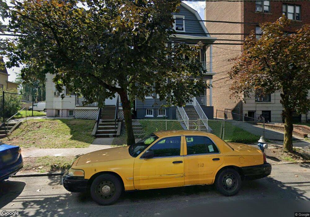
612 Lyons Ave Unit 1 Irvington, NJ 07111
Estimated Value: $429,467 - $605,000
3
Beds
1
Bath
2,611
Sq Ft
$205/Sq Ft
Est. Value
About This Home
This home is located at 612 Lyons Ave Unit 1, Irvington, NJ 07111 and is currently estimated at $534,617, approximately $204 per square foot. 612 Lyons Ave Unit 1 is a home located in Essex County with nearby schools including Irvington High School and Burch Charter School of Excellence.
Ownership History
Date
Name
Owned For
Owner Type
Purchase Details
Closed on
Sep 16, 1999
Sold by
Lemay Mary
Bought by
Pierce Dereck and Pierce Joy
Current Estimated Value
Home Financials for this Owner
Home Financials are based on the most recent Mortgage that was taken out on this home.
Original Mortgage
$139,878
Outstanding Balance
$41,564
Interest Rate
7.85%
Mortgage Type
FHA
Estimated Equity
$493,053
Purchase Details
Closed on
Sep 6, 1988
Sold by
Francini Barry B
Bought by
Lemay Mary
Create a Home Valuation Report for This Property
The Home Valuation Report is an in-depth analysis detailing your home's value as well as a comparison with similar homes in the area
Home Values in the Area
Average Home Value in this Area
Purchase History
| Date | Buyer | Sale Price | Title Company |
|---|---|---|---|
| Pierce Dereck | $140,000 | -- | |
| Lemay Mary | $137,000 | -- |
Source: Public Records
Mortgage History
| Date | Status | Borrower | Loan Amount |
|---|---|---|---|
| Open | Pierce Dereck | $139,878 |
Source: Public Records
Tax History Compared to Growth
Tax History
| Year | Tax Paid | Tax Assessment Tax Assessment Total Assessment is a certain percentage of the fair market value that is determined by local assessors to be the total taxable value of land and additions on the property. | Land | Improvement |
|---|---|---|---|---|
| 2025 | $9,351 | $483,100 | $119,600 | $363,500 |
| 2024 | $9,351 | $158,100 | $19,800 | $138,300 |
| 2022 | $9,174 | $158,100 | $19,800 | $138,300 |
| 2021 | $9,203 | $158,100 | $19,800 | $138,300 |
| 2020 | $9,198 | $158,100 | $19,800 | $138,300 |
| 2019 | $8,942 | $158,100 | $19,800 | $138,300 |
| 2018 | $8,763 | $158,100 | $19,800 | $138,300 |
| 2017 | $8,722 | $158,100 | $19,800 | $138,300 |
| 2016 | $8,528 | $158,100 | $19,800 | $138,300 |
| 2015 | $8,324 | $158,100 | $19,800 | $138,300 |
| 2014 | $8,376 | $158,100 | $19,800 | $138,300 |
Source: Public Records
Map
Nearby Homes
- 70 Welland Ave
- 5 Norwood Ave
- 57 Rosehill Place
- 10-12 Medbourne Ave
- 315 Coit St
- 86 Cleremont Ave
- 52 Melville Place
- 46 Norwood Ave
- 1154 Grove St
- 25 W Denman Place
- 15 Victor Place
- 602 Chancellor Ave
- 111 Cleremont Ave Unit 119
- 111-119 Cleremont Ave
- 201 Maple Ave
- 21 Victor Place
- 93 Howard St
- 20 Greene Terrace Unit 24
- 81 Augusta St
- 179 Berkshire Place
- 612 Lyons Ave
- 610 Lyons Ave
- 606 Lyons Ave Unit 608
- 604 Lyons Ave
- 620 Lyons Ave
- 598 Lyons Ave Unit 600
- 598-600 Lyons Ave
- 624 Lyons Ave
- 58 Welland Ave Unit 62
- 54 Welland Ave
- 626 Lyons Ave
- 48 Welland Ave Unit 50
- 17 Normandy Place
- 52 Welland Ave
- 52 Welland Ave Unit 2
- 52 Welland Ave Unit 3
- 56 Welland Ave
- 64 Welland Ave
- 19 Normandy Place
- 68 Welland Ave Unit 2