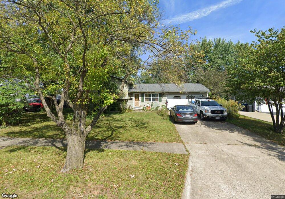
612 Michael Ave Westerville, OH 43081
Estimated Value: $330,174 - $354,000
3
Beds
2
Baths
1,166
Sq Ft
$289/Sq Ft
Est. Value
About This Home
This home is located at 612 Michael Ave, Westerville, OH 43081 and is currently estimated at $337,044, approximately $289 per square foot. 612 Michael Ave is a home located in Franklin County with nearby schools including Robert Frost Elementary School, Heritage Middle School, and Westerville-North High School.
Ownership History
Date
Name
Owned For
Owner Type
Purchase Details
Closed on
Dec 4, 1990
Bought by
Sheffler Brigitte M
Current Estimated Value
Create a Home Valuation Report for This Property
The Home Valuation Report is an in-depth analysis detailing your home's value as well as a comparison with similar homes in the area
Home Values in the Area
Average Home Value in this Area
Purchase History
| Date | Buyer | Sale Price | Title Company |
|---|---|---|---|
| Sheffler Brigitte M | $77,300 | -- |
Source: Public Records
Tax History
| Year | Tax Paid | Tax Assessment Tax Assessment Total Assessment is a certain percentage of the fair market value that is determined by local assessors to be the total taxable value of land and additions on the property. | Land | Improvement |
|---|---|---|---|---|
| 2025 | $5,421 | $95,380 | $29,750 | $65,630 |
| 2024 | $5,421 | $95,380 | $29,750 | $65,630 |
| 2023 | $5,306 | $95,375 | $29,750 | $65,625 |
| 2022 | $4,978 | $68,330 | $19,290 | $49,040 |
| 2021 | $5,020 | $68,330 | $19,290 | $49,040 |
| 2020 | $5,006 | $68,330 | $19,290 | $49,040 |
| 2019 | $4,357 | $56,150 | $19,290 | $36,860 |
| 2018 | $4,228 | $56,150 | $19,290 | $36,860 |
| 2017 | $4,303 | $56,150 | $19,290 | $36,860 |
| 2016 | $4,320 | $51,530 | $19,220 | $32,310 |
| 2015 | $4,184 | $51,530 | $19,220 | $32,310 |
| 2014 | $4,187 | $51,530 | $19,220 | $32,310 |
| 2013 | $1,991 | $49,070 | $18,305 | $30,765 |
Source: Public Records
Map
Nearby Homes
- 629 Andrew Ave
- 138 Wood St
- 687 E College Ave
- 393 Canterbury Ct
- 852 Karen Ct
- 339 Aylesbury Dr S
- 373 Wyndham Park S
- 303 Pointe Place
- 328 Myrtle Dr Unit Lot 5
- 348 Myrtle Dr Unit Lot 10
- 337 Myrtle Dr Unit Lot 2
- 334 Myrtle Dr Unit Lot 7
- 342 Myrtle Dr Unit Lot 8
- 344 Myrtle Dr Unit Lot 9
- 960 Lakeland Dr
- 291 Pointe Place
- 660 Albion Place Unit 8660
- 266 Black Walnut Dr
- 961 E College Ave
- 787 Centerpark Dr
- 622 Michael Ave
- 233 Burns Dr
- 602 Michael Ave
- 225 Burns Dr
- 215 Murnane St
- 621 Michael Ave
- 237 Burns Dr
- 594 Michael Ave
- 601 Michael Ave
- 207 Murnane St
- 629 Michael Ave
- 609 County Line Rd
- 206 Murnane St
- 243 Burns Dr
- 304 Matthew Ave
- 605 County Line Rd
- 201 Burns Dr
- 585 County Line Rd
- 586 Michael Ave
- 199 Murnane St
Your Personal Tour Guide
Ask me questions while you tour the home.