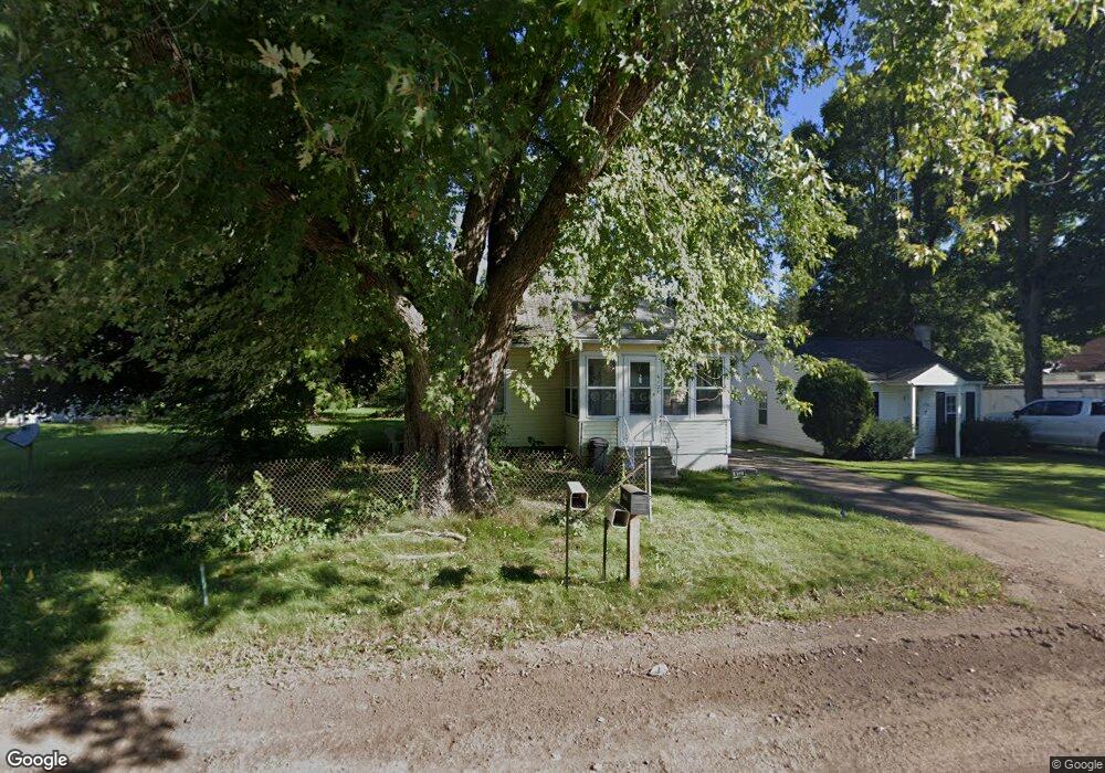
612 Murphy St Jackson, MI 49202
Estimated Value: $130,133 - $144,000
Studio
--
Bath
944
Sq Ft
$145/Sq Ft
Est. Value
About This Home
This home is located at 612 Murphy St, Jackson, MI 49202 and is currently estimated at $136,783, approximately $144 per square foot. 612 Murphy St is a home located in Jackson County with nearby schools including Northwest Early Elementary School, Northwest Elementary School, and Northwest Middle School.
Ownership History
Date
Name
Owned For
Owner Type
Purchase Details
Closed on
Sep 30, 2003
Sold by
Bliss Rosaline E and Bliss Grover E
Bought by
Foster Julie A
Current Estimated Value
Home Financials for this Owner
Home Financials are based on the most recent Mortgage that was taken out on this home.
Original Mortgage
$74,400
Outstanding Balance
$35,242
Interest Rate
6.43%
Mortgage Type
FHA
Estimated Equity
$101,541
Create a Home Valuation Report for This Property
The Home Valuation Report is an in-depth analysis detailing your home's value as well as a comparison with similar homes in the area
Home Values in the Area
Average Home Value in this Area
Purchase History
| Date | Buyer | Sale Price | Title Company |
|---|---|---|---|
| Foster Julie A | $75,000 | Midstate Title Company |
Source: Public Records
Mortgage History
| Date | Status | Borrower | Loan Amount |
|---|---|---|---|
| Open | Foster Julie A | $74,400 |
Source: Public Records
Tax History
| Year | Tax Paid | Tax Assessment Tax Assessment Total Assessment is a certain percentage of the fair market value that is determined by local assessors to be the total taxable value of land and additions on the property. | Land | Improvement |
|---|---|---|---|---|
| 2025 | $1,340 | $58,550 | $0 | $0 |
| 2024 | $6 | $58,700 | $0 | $0 |
| 2023 | $599 | $52,700 | $0 | $0 |
| 2022 | $1,407 | $47,300 | $0 | $0 |
| 2021 | $1,186 | $41,500 | $0 | $0 |
| 2020 | $1,175 | $38,800 | $0 | $0 |
| 2019 | $1,146 | $38,100 | $0 | $0 |
| 2018 | $1,051 | $36,300 | $0 | $0 |
| 2017 | $993 | $35,700 | $0 | $0 |
| 2016 | $656 | $31,909 | $31,909 | $0 |
| 2015 | $953 | $31,727 | $31,727 | $0 |
| 2014 | $953 | $29,722 | $29,722 | $0 |
| 2013 | -- | $29,722 | $29,722 | $0 |
Source: Public Records
Map
Nearby Homes
- 550 Royal Dr
- 735 Royal Dr
- 520 Andrew Ave
- 0 Shirley Dr Unit 24064060
- 951 W Monroe St
- 2013 Cooper St
- 431 Madison St
- 1105 Clinton Rd
- 0 Brookley Ave
- 1422 Cooper St
- 121 Frost St
- 1012 Lansing Ave
- 939 Backus St
- 1302 Cooper St
- 919 Lincoln St
- 1135 Hamilton St
- 712 W North St
- 1114 Hamilton St
- 833 Backus St
- 319 W North St
Your Personal Tour Guide
Ask me questions while you tour the home.