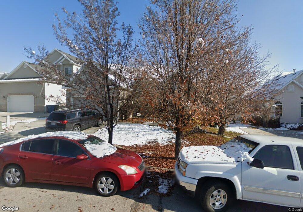
612 N 1280 E American Fork, UT 84003
Estimated Value: $591,000 - $651,000
5
Beds
3
Baths
3,180
Sq Ft
$193/Sq Ft
Est. Value
About This Home
This home is located at 612 N 1280 E, American Fork, UT 84003 and is currently estimated at $612,513, approximately $192 per square foot. 612 N 1280 E is a home located in Utah County with nearby schools including Barratt Elementary School, American Fork Junior High School, and American Fork High School.
Ownership History
Date
Name
Owned For
Owner Type
Purchase Details
Closed on
May 19, 2005
Sold by
Collins Robert C and Collins Paula D
Bought by
Leavitt Neal B and Leavitt Kelly A
Current Estimated Value
Home Financials for this Owner
Home Financials are based on the most recent Mortgage that was taken out on this home.
Original Mortgage
$235,500
Outstanding Balance
$123,028
Interest Rate
5.87%
Mortgage Type
Fannie Mae Freddie Mac
Estimated Equity
$489,485
Purchase Details
Closed on
May 9, 2002
Sold by
D R Horton Inc
Bought by
Collins Robert C and Collins Paula D
Home Financials for this Owner
Home Financials are based on the most recent Mortgage that was taken out on this home.
Original Mortgage
$159,600
Interest Rate
7.13%
Create a Home Valuation Report for This Property
The Home Valuation Report is an in-depth analysis detailing your home's value as well as a comparison with similar homes in the area
Home Values in the Area
Average Home Value in this Area
Purchase History
| Date | Buyer | Sale Price | Title Company |
|---|---|---|---|
| Leavitt Neal B | -- | Access Title Company | |
| Collins Robert C | -- | First American Title Co |
Source: Public Records
Mortgage History
| Date | Status | Borrower | Loan Amount |
|---|---|---|---|
| Open | Leavitt Neal B | $235,500 | |
| Previous Owner | Collins Robert C | $159,600 | |
| Closed | Collins Robert C | $39,900 |
Source: Public Records
Tax History
| Year | Tax Paid | Tax Assessment Tax Assessment Total Assessment is a certain percentage of the fair market value that is determined by local assessors to be the total taxable value of land and additions on the property. | Land | Improvement |
|---|---|---|---|---|
| 2025 | $2,671 | $305,415 | -- | -- |
| 2024 | $2,671 | $296,780 | $0 | $0 |
| 2023 | $2,504 | $294,965 | $0 | $0 |
| 2022 | $2,580 | $299,970 | $0 | $0 |
| 2021 | $2,270 | $412,200 | $174,600 | $237,600 |
| 2020 | $2,203 | $388,000 | $161,700 | $226,300 |
| 2019 | $1,999 | $364,100 | $154,900 | $209,200 |
| 2018 | $1,812 | $323,000 | $141,100 | $181,900 |
| 2017 | $1,800 | $169,235 | $0 | $0 |
| 2016 | $1,843 | $160,930 | $0 | $0 |
| 2015 | $1,802 | $149,325 | $0 | $0 |
| 2014 | $170 | $139,810 | $0 | $0 |
Source: Public Records
Map
Nearby Homes
- 1121 E 580 N
- 462 N 950 E Unit 5
- 912 E Ellens St Unit 1
- 1125 N 1270 E
- 1045 N 930 E Unit 58
- 1289 W 1670 N
- 837 E 475 N
- 322 N 900 E
- 1897 N 900 W
- 1058 N 930 E Unit 64
- 980 W 1800 N
- 681 W 2760 N
- 1077 N 950 E
- 1089 N 950 E
- 1609 N 900 W
- 1427 Narra Place
- 472 W 2760 N
- 674 W 1590 N Unit 11
- 1365 N 990 W
- 1578 N 750 W Unit 15
- 624 N 1280 E
- 624 N 1280 E Unit 4
- 545 N 1280 E
- 586 N 1280 E
- 638 N 1280 E
- 2424 Renaissance Ct
- 1279 E 600 North Cir
- 646 N 1280 E
- 648 N 1280 E
- 1278 E 600 Cir N
- 1278 E 600 North Cir
- 574 N 1280 E
- 1277 E 600 North Cir
- 1276 E 600 North Cir
- 1276 Temple Meadow Cir
- 1276 E 600 Cir N
- 2432 Renaissance Ct
- 2432 N Renaissance Ct
- 1274 E 600 North Cir
- 1274 E 600 Cir N
Your Personal Tour Guide
Ask me questions while you tour the home.