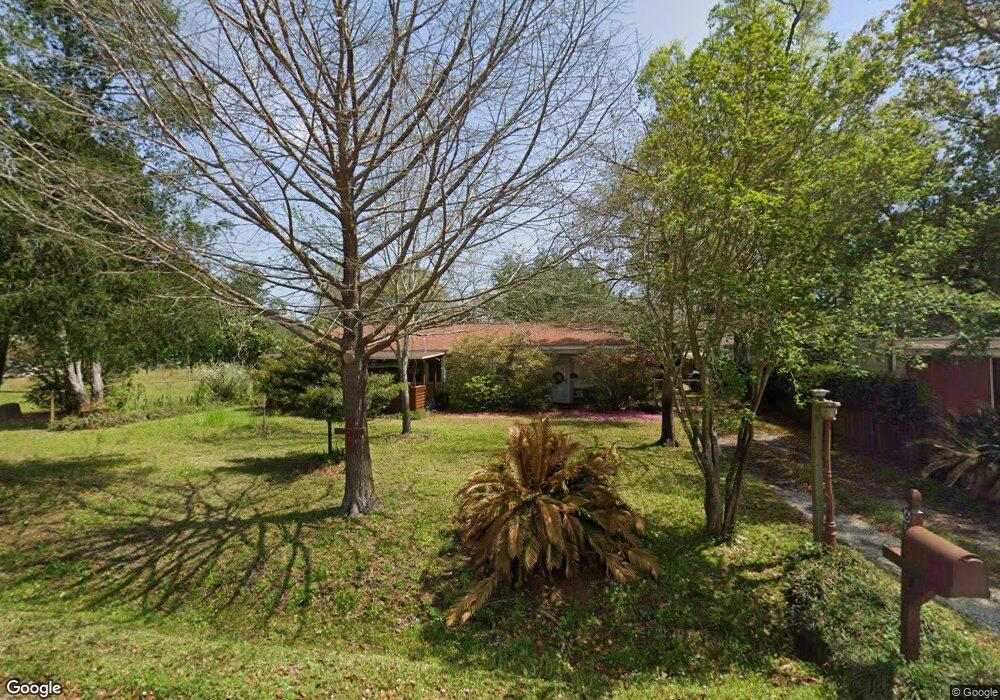
612 Paulding Ave Pensacola, FL 32507
Warrington NeighborhoodEstimated Value: $140,000 - $250,000
Studio
1
Bath
1,533
Sq Ft
$129/Sq Ft
Est. Value
About This Home
This home is located at 612 Paulding Ave, Pensacola, FL 32507 and is currently estimated at $198,258, approximately $129 per square foot. 612 Paulding Ave is a home located in Escambia County with nearby schools including Navy Point Elementary School, Jim C. Bailey Middle School, and Escambia High School.
Ownership History
Date
Name
Owned For
Owner Type
Purchase Details
Closed on
Apr 11, 2011
Sold by
Ashley Juanita G
Bought by
Ashley Keith E
Current Estimated Value
Purchase Details
Closed on
Sep 25, 2000
Sold by
Reffett Michael Thomas
Bought by
Ashley Juanita G
Home Financials for this Owner
Home Financials are based on the most recent Mortgage that was taken out on this home.
Original Mortgage
$64,500
Interest Rate
7.92%
Purchase Details
Closed on
Jul 24, 1998
Sold by
Reffett Roberta
Bought by
Reffett Michael Thomas
Create a Home Valuation Report for This Property
The Home Valuation Report is an in-depth analysis detailing your home's value as well as a comparison with similar homes in the area
Home Values in the Area
Average Home Value in this Area
Purchase History
| Date | Buyer | Sale Price | Title Company |
|---|---|---|---|
| Ashley Keith E | $20,000 | Attorney | |
| Ashley Juanita G | $31,900 | -- | |
| Reffett Michael Thomas | -- | -- |
Source: Public Records
Mortgage History
| Date | Status | Borrower | Loan Amount |
|---|---|---|---|
| Previous Owner | Ashley Juanita G | $64,500 |
Source: Public Records
Tax History
| Year | Tax Paid | Tax Assessment Tax Assessment Total Assessment is a certain percentage of the fair market value that is determined by local assessors to be the total taxable value of land and additions on the property. | Land | Improvement |
|---|---|---|---|---|
| 2025 | $475 | $70,715 | -- | -- |
| 2024 | $477 | $68,723 | -- | -- |
| 2023 | $477 | $66,722 | $0 | $0 |
| 2022 | $532 | $64,779 | $0 | $0 |
| 2021 | $538 | $62,893 | $0 | $0 |
| 2020 | $530 | $62,025 | $0 | $0 |
| 2019 | $526 | $60,631 | $0 | $0 |
| 2018 | $529 | $59,501 | $0 | $0 |
| 2017 | $531 | $58,278 | $0 | $0 |
| 2016 | $531 | $57,080 | $0 | $0 |
| 2015 | $510 | $56,684 | $0 | $0 |
| 2014 | $499 | $56,235 | $0 | $0 |
Source: Public Records
Map
Nearby Homes
- 648 Polk Ave
- 603 Mills Ave
- 833 Wayne Ave
- 500 Lownde Ave
- 700 Polk Ave
- 112 Cousineau Rd
- 35-2S-31-1000-001-11 Bartow Ave
- 406 NW Syrcle Dr
- 100 BLK Cousineau Rd
- 1412 Gulf Beach Hwy
- 2105 Grundy St
- 902 Decatur Ave
- 311 Flannan Rd
- 913 Bartow Ave
- 1009 Bremen Ave
- 404 Bremen Ave
- 208 Berry Rd
- 907 Colbert Ave
- 636 Elite Rd
- 210 Berry Rd
- 616 Paulding Ave
- 610 Paulding Ave
- 618 Paulding Ave
- 608 Paulding Ave
- 621 Wayne Ave
- 619 Wayne Ave
- 623 Wayne Ave
- 620 Paulding Ave
- 663 Paulding Ave
- 661 Paulding Ave
- 689 Paulding Ave
- 601 Wayne Ave
- 1605 Graupera St
- 599 Wayne Ave
- 1616 Heinrich St
- 691 Paulding Ave
- 1604 Heinrich St
- 620 Wayne Ave
- 700 Paulding Ave
- 624 Wayne Ave
Your Personal Tour Guide
Ask me questions while you tour the home.