612 Robins Rd Harvest, AL 35749
Harvest-Cluttsville NeighborhoodEstimated Value: $289,407 - $332,000
4
Beds
2
Baths
2,091
Sq Ft
$153/Sq Ft
Est. Value
About This Home
This home is located at 612 Robins Rd, Harvest, AL 35749 and is currently estimated at $320,102, approximately $153 per square foot. 612 Robins Rd is a home located in Madison County with nearby schools including Harvest Elementary School, Sparkman Middle School, and Sparkman High School.
Ownership History
Date
Name
Owned For
Owner Type
Purchase Details
Closed on
Mar 31, 2008
Sold by
Parmer Donald F and Parmer Margie
Bought by
Tisdale Larry D
Current Estimated Value
Home Financials for this Owner
Home Financials are based on the most recent Mortgage that was taken out on this home.
Original Mortgage
$183,000
Outstanding Balance
$117,426
Interest Rate
6.22%
Mortgage Type
New Conventional
Estimated Equity
$202,676
Create a Home Valuation Report for This Property
The Home Valuation Report is an in-depth analysis detailing your home's value as well as a comparison with similar homes in the area
Home Values in the Area
Average Home Value in this Area
Purchase History
| Date | Buyer | Sale Price | Title Company |
|---|---|---|---|
| Tisdale Larry D | -- | -- |
Source: Public Records
Mortgage History
| Date | Status | Borrower | Loan Amount |
|---|---|---|---|
| Open | Tisdale Larry D | $183,000 |
Source: Public Records
Tax History Compared to Growth
Tax History
| Year | Tax Paid | Tax Assessment Tax Assessment Total Assessment is a certain percentage of the fair market value that is determined by local assessors to be the total taxable value of land and additions on the property. | Land | Improvement |
|---|---|---|---|---|
| 2024 | $862 | $25,140 | $2,500 | $22,640 |
| 2023 | $862 | $24,100 | $2,500 | $21,600 |
| 2022 | $736 | $21,680 | $2,500 | $19,180 |
| 2021 | $669 | $19,840 | $2,500 | $17,340 |
| 2020 | $618 | $18,460 | $2,500 | $15,960 |
| 2019 | $596 | $17,840 | $2,500 | $15,340 |
| 2018 | $558 | $16,800 | $0 | $0 |
| 2017 | $558 | $16,800 | $0 | $0 |
| 2016 | $558 | $16,800 | $0 | $0 |
| 2015 | $558 | $16,800 | $0 | $0 |
| 2014 | $547 | $16,520 | $0 | $0 |
Source: Public Records
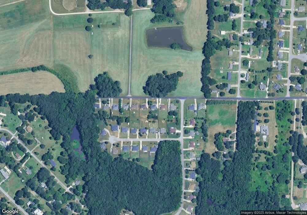
Map
Nearby Homes
- 167 W Highlander Rd
- 132 Emory Dr
- 122 Emory Dr
- 132 Sunshine Dr
- 245 W Highlander Rd
- 278 W Highlander Rd
- 674 Harvest Rd
- 119 Twin Springs Dr
- 1115 Virtue Way
- The Belmont Plan at Abbington
- The Savannah Plan at Abbington
- The Winchester Plan at Abbington
- The Cambridge Plan at Abbington
- The Manhattan Plan at Abbington
- The Shelburne Plan at Abbington
- The Bennington Plan at Abbington
- The Lincoln Plan at Abbington
- The Charleston Plan at Abbington
- The Rockdale Plan at Abbington
- 1117 Virtue Way