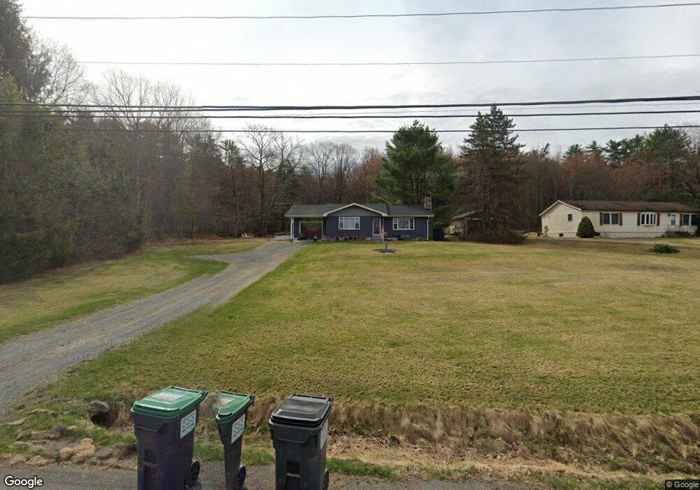
612 Route 507 Paupack, PA 18451
Estimated Value: $182,643 - $327,000
3
Beds
2
Baths
1,192
Sq Ft
$214/Sq Ft
Est. Value
About This Home
This home is located at 612 Route 507, Paupack, PA 18451 and is currently estimated at $254,822, approximately $213 per square foot. 612 Route 507 is a home with nearby schools including Wallenpaupack Area High School.
Ownership History
Date
Name
Owned For
Owner Type
Purchase Details
Closed on
Jun 25, 2018
Sold by
Stuccio Donna M and Stuccio Dominick J
Bought by
Lukacinsky Ansley C
Current Estimated Value
Home Financials for this Owner
Home Financials are based on the most recent Mortgage that was taken out on this home.
Original Mortgage
$41,500
Outstanding Balance
$30,755
Interest Rate
4.6%
Mortgage Type
New Conventional
Estimated Equity
$224,067
Purchase Details
Closed on
Mar 14, 2018
Sold by
Lukacinsky William and Lukacinsky Nancy C
Bought by
Lukacinsky Ansley C
Purchase Details
Closed on
Jun 15, 2011
Sold by
Stuccio Donna and Estate Of Marion I Lukacinsky
Bought by
Stuccio Donna and Lukacinsky William
Create a Home Valuation Report for This Property
The Home Valuation Report is an in-depth analysis detailing your home's value as well as a comparison with similar homes in the area
Home Values in the Area
Average Home Value in this Area
Purchase History
| Date | Buyer | Sale Price | Title Company |
|---|---|---|---|
| Lukacinsky Ansley C | $41,500 | None Available | |
| Lukacinsky Ansley C | -- | None Available | |
| Stuccio Donna | -- | None Available |
Source: Public Records
Mortgage History
| Date | Status | Borrower | Loan Amount |
|---|---|---|---|
| Open | Lukacinsky Ansley C | $41,500 |
Source: Public Records
Tax History Compared to Growth
Tax History
| Year | Tax Paid | Tax Assessment Tax Assessment Total Assessment is a certain percentage of the fair market value that is determined by local assessors to be the total taxable value of land and additions on the property. | Land | Improvement |
|---|---|---|---|---|
| 2025 | $2,324 | $20,810 | $2,900 | $17,910 |
| 2024 | $2,324 | $20,810 | $2,900 | $17,910 |
| 2023 | $2,236 | $20,810 | $2,900 | $17,910 |
| 2022 | $2,184 | $20,810 | $2,900 | $17,910 |
| 2021 | $2,121 | $20,810 | $2,900 | $17,910 |
| 2020 | $2,121 | $20,810 | $2,900 | $17,910 |
| 2019 | $2,053 | $20,810 | $2,900 | $17,910 |
| 2018 | $1,998 | $20,810 | $2,900 | $17,910 |
| 2017 | $1,923 | $20,810 | $2,900 | $17,910 |
| 2016 | $0 | $20,810 | $2,900 | $17,910 |
| 2014 | -- | $20,810 | $2,900 | $17,910 |
Source: Public Records
Map
Nearby Homes
- 105 Leonard Ln
- 802 Forest Cir
- 0 Lot 7 Nemanie Village Unit 21-4732
- 537 Pennsylvania 507
- 1264 Goose Pond Rd
- 0 Manor Woods Ct Unit 22-290
- 159 Calico Point Dr
- 54 Summit Cir
- 130 Calico Ct
- 605 Waterview Ln Unit 39
- 112 Waterview Ln Unit 41
- 110 Waterview Ln Unit 31
- 1082 Sunrise Terrace
- 0 Briar Hill Dr
- 134 Laurel Trail
- 1014 Star View Terrace
- 11 Briar Hill Rd S
- 1011 Salem Place
- 103 Lakeside Rd
- 1115 Mustang Rd