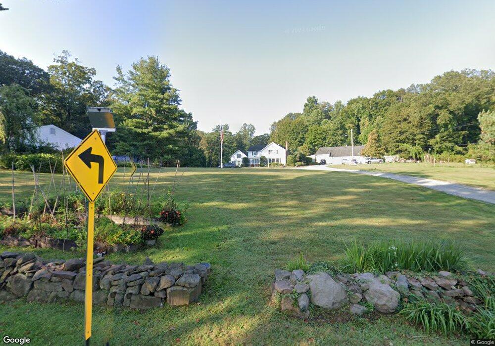
612 S Brooksvale Rd Unit B Cheshire, CT 06410
Estimated Value: $773,000 - $866,000
4
Beds
3
Baths
2,725
Sq Ft
$299/Sq Ft
Est. Value
About This Home
This home is located at 612 S Brooksvale Rd Unit B, Cheshire, CT 06410 and is currently estimated at $814,170, approximately $298 per square foot. 612 S Brooksvale Rd Unit B is a home located in New Haven County with nearby schools including Darcey School, Norton School, and Dodd Middle School.
Ownership History
Date
Name
Owned For
Owner Type
Purchase Details
Closed on
Apr 15, 2019
Sold by
Doyle Properties Llc
Bought by
Lanigan Daniel B and Lanigan Brenna J
Current Estimated Value
Home Financials for this Owner
Home Financials are based on the most recent Mortgage that was taken out on this home.
Original Mortgage
$387,000
Outstanding Balance
$340,927
Interest Rate
4.4%
Mortgage Type
Purchase Money Mortgage
Estimated Equity
$473,243
Purchase Details
Closed on
Dec 13, 2012
Sold by
Doyle Alison T
Bought by
Doyle Props Llc
Create a Home Valuation Report for This Property
The Home Valuation Report is an in-depth analysis detailing your home's value as well as a comparison with similar homes in the area
Home Values in the Area
Average Home Value in this Area
Purchase History
| Date | Buyer | Sale Price | Title Company |
|---|---|---|---|
| Lanigan Daniel B | $430,000 | -- | |
| Lanigan Daniel B | $430,000 | -- | |
| Doyle Props Llc | -- | -- | |
| Doyle Props Llc | -- | -- |
Source: Public Records
Mortgage History
| Date | Status | Borrower | Loan Amount |
|---|---|---|---|
| Open | Lanigan Daniel B | $387,000 | |
| Closed | Lanigan Daniel B | $387,000 |
Source: Public Records
Tax History Compared to Growth
Tax History
| Year | Tax Paid | Tax Assessment Tax Assessment Total Assessment is a certain percentage of the fair market value that is determined by local assessors to be the total taxable value of land and additions on the property. | Land | Improvement |
|---|---|---|---|---|
| 2025 | $15,778 | $530,530 | $117,600 | $412,930 |
| 2024 | $14,568 | $530,530 | $117,600 | $412,930 |
| 2023 | $13,661 | $389,300 | $117,590 | $271,710 |
| 2022 | $13,361 | $389,300 | $117,590 | $271,710 |
| 2021 | $13,127 | $389,300 | $117,590 | $271,710 |
| 2020 | $12,933 | $389,300 | $117,590 | $271,710 |
| 2019 | $12,933 | $389,300 | $117,590 | $271,710 |
| 2018 | $12,734 | $390,360 | $118,260 | $272,100 |
| 2017 | $12,468 | $390,360 | $118,260 | $272,100 |
| 2016 | $11,980 | $390,360 | $118,260 | $272,100 |
| 2015 | $11,980 | $390,360 | $118,260 | $272,100 |
| 2014 | -- | $390,360 | $118,260 | $272,100 |
Source: Public Records
Map
Nearby Homes
- 25 Mountain Brook Dr
- 353 Mount Sanford Rd
- 328 S Brooksvale Rd
- 1 Mountaincrest Dr
- 1325 Avon Blvd
- Lot 3 Mount Sanford Rd
- Lot 2 Mount Sanford Rd
- Lot 1 Mount Sanford Rd
- 764 Bethany Mountain Rd
- 1213 Avon Blvd
- 118 Harrison Rd
- 115 S Brooksvale Rd
- 40 Whispering Hollow Ct
- 21 Hawthorne Dr
- 1600 S Main St Unit Model A (Charter Oak
- 1600 S Main St Unit BFraser Model
- 1600 S Main St
- 1600RR S Main St
- 85 Inverness Ct
- 81 Mountain Rd
- 612 S Brooksvale Rd Unit C
- 612 S Brooksvale Rd Unit A
- 612 S Brooksvale Rd
- 221 Mountain Brook Dr
- 205 Mountain Brook Dr
- 215 Mountain Brook Dr
- 655 S Brooksvale Rd
- 608 S Brooksvale Rd
- 195 Mountain Brook Dr
- 225 Mountain Brook Dr
- 594 S Brooksvale Rd
- 675 S Brooksvale Rd
- 185 Mountain Brook Dr
- 224 Mountain Brook Dr
- 640 S Brooksvale Rd
- 445 Mount Sanford Rd
- 568 S Brooksvale Rd
- 10 Mountain Brook Dr
- 175 Mountain Brook Dr
- 22 Pine Terrace