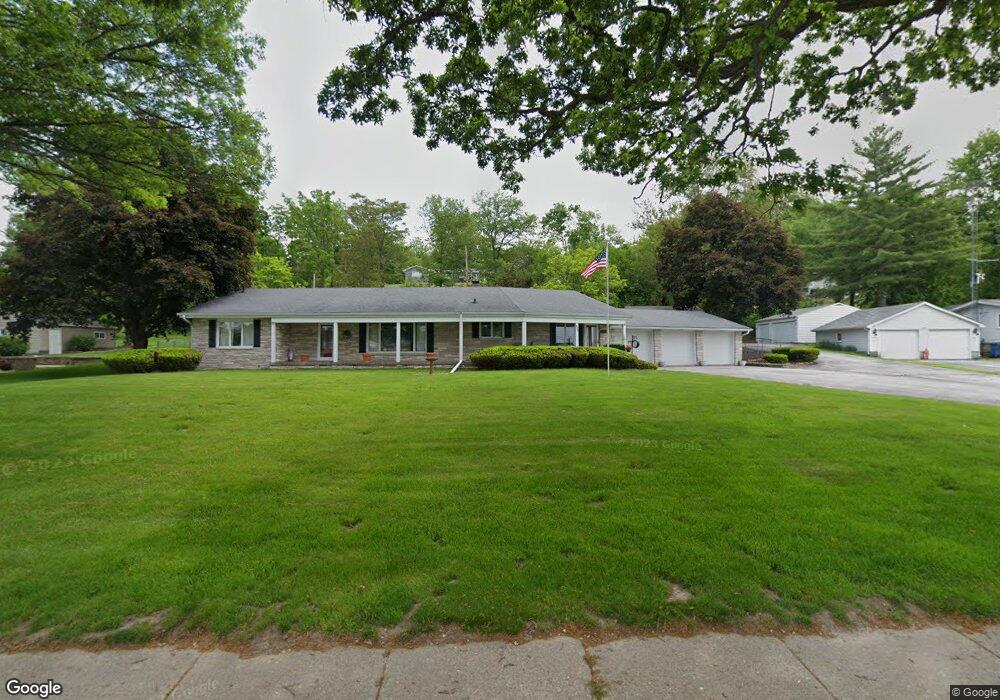
612 S Main St Port Byron, IL 61275
Estimated Value: $275,000 - $327,000
--
Bed
--
Bath
2,140
Sq Ft
$140/Sq Ft
Est. Value
About This Home
This home is located at 612 S Main St, Port Byron, IL 61275 and is currently estimated at $299,955, approximately $140 per square foot. 612 S Main St is a home located in Rock Island County with nearby schools including Riverdale Elementary School, Riverdale Middle School, and Riverdale Senior High School.
Create a Home Valuation Report for This Property
The Home Valuation Report is an in-depth analysis detailing your home's value as well as a comparison with similar homes in the area
Home Values in the Area
Average Home Value in this Area
Tax History Compared to Growth
Tax History
| Year | Tax Paid | Tax Assessment Tax Assessment Total Assessment is a certain percentage of the fair market value that is determined by local assessors to be the total taxable value of land and additions on the property. | Land | Improvement |
|---|---|---|---|---|
| 2024 | $6,325 | $94,390 | $18,357 | $76,033 |
| 2023 | $6,325 | $86,596 | $16,841 | $69,755 |
| 2022 | $5,635 | $82,590 | $16,062 | $66,528 |
| 2021 | $5,464 | $78,285 | $15,225 | $63,060 |
| 2020 | $537 | $77,128 | $15,000 | $62,128 |
| 2019 | $5,386 | $77,128 | $15,000 | $62,128 |
| 2018 | $5,202 | $75,999 | $12,248 | $63,751 |
| 2017 | $5,125 | $75,999 | $12,248 | $63,751 |
| 2016 | $5,067 | $74,950 | $12,079 | $62,871 |
| 2015 | $4,893 | $72,187 | $11,634 | $60,553 |
| 2014 | $1,051 | $70,772 | $11,406 | $59,366 |
| 2013 | $1,051 | $70,772 | $11,406 | $59,366 |
Source: Public Records
Map
Nearby Homes