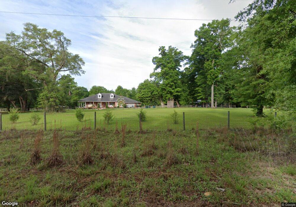
612 SW Roberts Ave Fort White, FL 32038
Estimated Value: $581,000 - $1,190,693
3
Beds
5
Baths
5,537
Sq Ft
$152/Sq Ft
Est. Value
About This Home
This home is located at 612 SW Roberts Ave, Fort White, FL 32038 and is currently estimated at $844,231, approximately $152 per square foot. 612 SW Roberts Ave is a home located in Columbia County with nearby schools including Fort White Elementary School and Fort White High School.
Ownership History
Date
Name
Owned For
Owner Type
Purchase Details
Closed on
Aug 30, 2013
Sold by
Randall Lindsay
Bought by
Turcotte Michael J and Turcotte Menzie G
Current Estimated Value
Home Financials for this Owner
Home Financials are based on the most recent Mortgage that was taken out on this home.
Original Mortgage
$246,000
Outstanding Balance
$182,917
Interest Rate
4.31%
Mortgage Type
VA
Estimated Equity
$661,314
Purchase Details
Closed on
Sep 11, 2003
Sold by
Randall Darleen B and Randall Lindsay
Bought by
Randall Lindsay
Create a Home Valuation Report for This Property
The Home Valuation Report is an in-depth analysis detailing your home's value as well as a comparison with similar homes in the area
Home Values in the Area
Average Home Value in this Area
Purchase History
| Date | Buyer | Sale Price | Title Company |
|---|---|---|---|
| Turcotte Michael J | $246,000 | Abstract Trust Title Llc | |
| Randall Lindsay | -- | -- | |
| Randall Lindsay | -- | -- |
Source: Public Records
Mortgage History
| Date | Status | Borrower | Loan Amount |
|---|---|---|---|
| Open | Turcotte Michael J | $246,000 |
Source: Public Records
Tax History Compared to Growth
Tax History
| Year | Tax Paid | Tax Assessment Tax Assessment Total Assessment is a certain percentage of the fair market value that is determined by local assessors to be the total taxable value of land and additions on the property. | Land | Improvement |
|---|---|---|---|---|
| 2024 | $7,604 | $599,304 | -- | -- |
| 2023 | $7,604 | $565,846 | $0 | $0 |
| 2022 | $7,399 | $545,819 | $0 | $0 |
| 2021 | $7,374 | $530,016 | $0 | $0 |
| 2020 | $7,239 | $522,743 | $0 | $0 |
| 2019 | $7,808 | $511,063 | $0 | $0 |
| 2018 | $7,760 | $500,344 | $0 | $0 |
| 2017 | $7,656 | $490,094 | $56,397 | $433,697 |
| 2016 | $7,764 | $493,981 | $56,397 | $437,584 |
| 2015 | $7,953 | $495,526 | $0 | $0 |
| 2014 | $7,931 | $493,155 | $0 | $0 |
Source: Public Records
Map
Nearby Homes
- 234 Boundary Way
- 264 SW Texas Ln
- 959 Roberts Ave
- 473 SW Richmond Way
- LOT46 SW Kentucky St
- LOT 45 SW Kentucky St
- LOT 44 SW Kentucky St
- LOT43 SW Kentucky St
- LOT45 SW Kentucky St
- LOT 46 SW Kentucky St
- 544 SW Kentucky St
- LOT44 SW Kentucky St
- LOT 43 SW Kentucky St
- 00000 SW Richmond Way
- 0 SW Newark Dr Unit MFRGC535738
- 0 SW Newark Dr Unit MFRR4908315
- 0 SW Newark Dr Unit MFRR4908314
- 00 SW Newark Dr Unit 3
- 172 SW Trenton Terrace
- 1745 SW Newark Dr
- 100 SW Drake Place
- 608 SW Roberts Ave
- 756 SW Roberts Ave
- 160 SW Drake Place
- 531 Roberts Ave
- 530 SW Roberts Ave
- 874 SW Roberts Ave
- 709 SW Roberts Ave
- TBD Texas Ln
- 940 SW Roberts Ave
- 331 SW Illinois St
- 210 SW Texas Ln
- 313 SW Drake Place
- 909 SW Roberts Ave
- 909 SW Roberts Ave
- 837 SW Roberts Ave
- 909 Roberts Ave
- 146 Boundary Way
- 173 SW Boundary St
- 173 Boundary Way