612 Swamp Pike Pottstown, PA 19464
Limerick Township NeighborhoodEstimated Value: $597,000 - $1,261,000
7
Beds
5
Baths
5,328
Sq Ft
$180/Sq Ft
Est. Value
About This Home
This home is located at 612 Swamp Pike, Pottstown, PA 19464 and is currently estimated at $959,608, approximately $180 per square foot. 612 Swamp Pike is a home located in Montgomery County with nearby schools including Evans Elementary School, Spring-Ford Middle School 8th Grade Center, and Spring-Ford Middle School 5/6/7 Grade Center.
Ownership History
Date
Name
Owned For
Owner Type
Purchase Details
Closed on
Dec 27, 2007
Sold by
Miller Carol L and Warrington James A
Bought by
Warrington Carol L and Warrington James A
Current Estimated Value
Home Financials for this Owner
Home Financials are based on the most recent Mortgage that was taken out on this home.
Original Mortgage
$160,000
Interest Rate
6.21%
Create a Home Valuation Report for This Property
The Home Valuation Report is an in-depth analysis detailing your home's value as well as a comparison with similar homes in the area
Home Values in the Area
Average Home Value in this Area
Purchase History
| Date | Buyer | Sale Price | Title Company |
|---|---|---|---|
| Warrington Carol L | -- | None Available |
Source: Public Records
Mortgage History
| Date | Status | Borrower | Loan Amount |
|---|---|---|---|
| Closed | Warrington Carol L | $160,000 |
Source: Public Records
Tax History Compared to Growth
Tax History
| Year | Tax Paid | Tax Assessment Tax Assessment Total Assessment is a certain percentage of the fair market value that is determined by local assessors to be the total taxable value of land and additions on the property. | Land | Improvement |
|---|---|---|---|---|
| 2025 | $14,083 | $364,200 | $121,110 | $243,090 |
| 2024 | $14,083 | $364,200 | $121,110 | $243,090 |
| 2023 | $13,435 | $364,200 | $121,110 | $243,090 |
| 2022 | $12,982 | $364,200 | $121,110 | $243,090 |
| 2021 | $12,675 | $364,200 | $121,110 | $243,090 |
| 2020 | $12,354 | $364,200 | $121,110 | $243,090 |
| 2019 | $12,129 | $364,200 | $121,110 | $243,090 |
| 2018 | $9,581 | $364,200 | $121,110 | $243,090 |
| 2017 | $11,904 | $364,200 | $121,110 | $243,090 |
| 2016 | $11,762 | $364,200 | $121,110 | $243,090 |
| 2015 | $11,255 | $364,200 | $121,110 | $243,090 |
| 2014 | $11,255 | $364,200 | $121,110 | $243,090 |
Source: Public Records
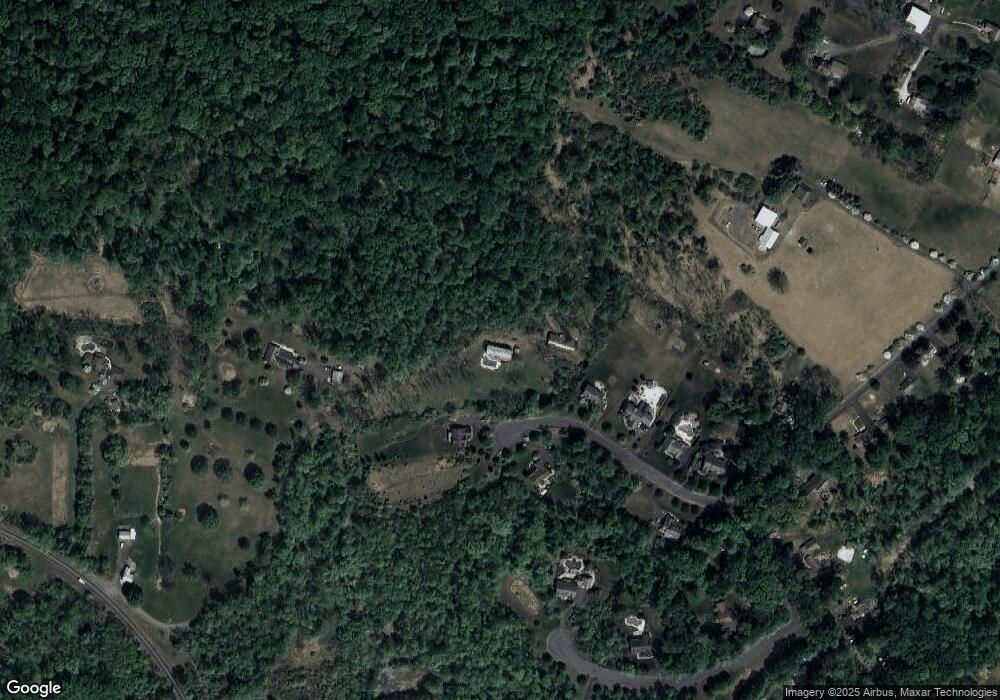
Map
Nearby Homes
- 64 Mill Rd
- 90 Kurtz Rd
- 2576 Swamp Pike
- 00 Bragg Rd
- 2499 Wagner Rd
- 0 Steinmetz Rd
- 411 Swamp Pike
- 2488 Sanatoga Rd
- 2503 Jessica Dr
- 2419 Sanatoga Rd
- 2933 New Hanover Square Rd
- 2905 Burton Dr
- 39A Fruitville Rd
- 1180 Rupert Rd
- 39 Bunker Way
- 100 Masters Dr
- 94 Presidential Dr
- 2911 Federal Dr
- 0 Industrial Pkwy Unit PAMC2142810
- 2312 Cassard Cir