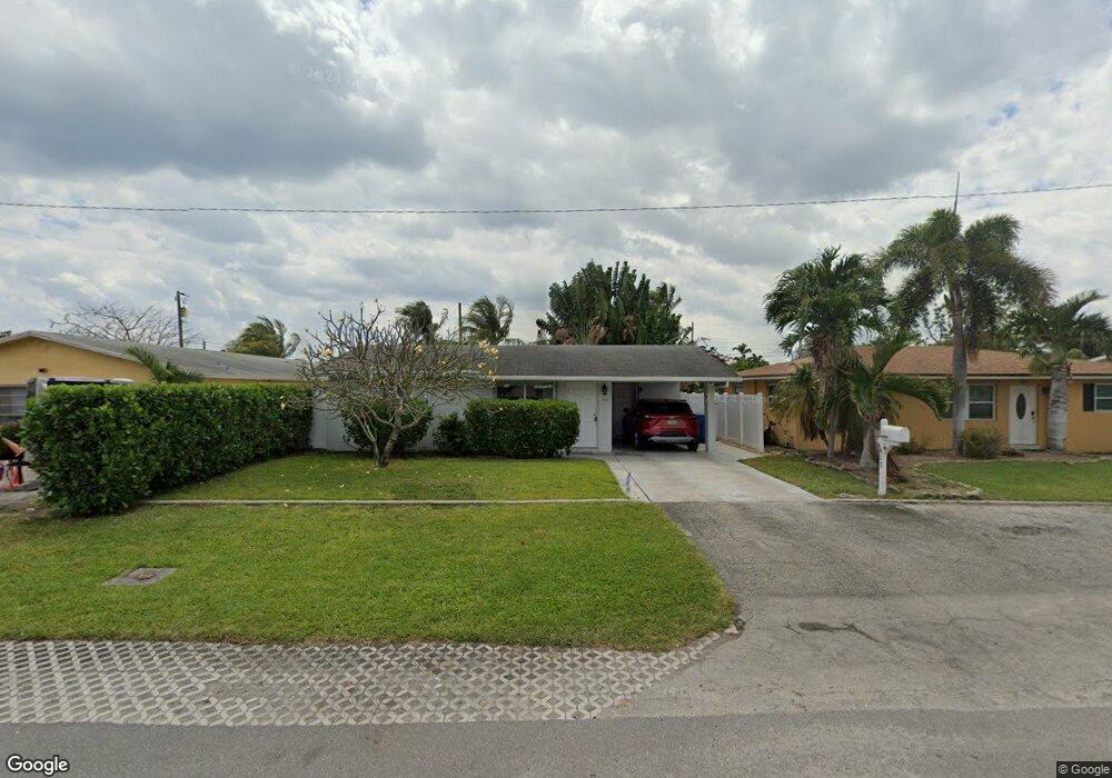
612 W Broward St Lantana, FL 33462
Ocean Breeze NeighborhoodEstimated Value: $367,000 - $406,000
2
Beds
1
Bath
1,098
Sq Ft
$347/Sq Ft
Est. Value
About This Home
This home is located at 612 W Broward St, Lantana, FL 33462 and is currently estimated at $380,797, approximately $346 per square foot. 612 W Broward St is a home located in Palm Beach County with nearby schools including Lantana Elementary School, Lantana Middle School, and Lake Worth Community High School.
Ownership History
Date
Name
Owned For
Owner Type
Purchase Details
Closed on
Jan 26, 2006
Sold by
Rhoads Douglas J and Rhoads Linda C
Bought by
Shearouse Justin L and Shearouse Ronald W
Current Estimated Value
Purchase Details
Closed on
Jul 26, 2002
Sold by
Blount Marvin L and Blount Phyllis G
Bought by
Rhoads Douglas and Rhoads Linda
Home Financials for this Owner
Home Financials are based on the most recent Mortgage that was taken out on this home.
Original Mortgage
$63,000
Interest Rate
6.62%
Create a Home Valuation Report for This Property
The Home Valuation Report is an in-depth analysis detailing your home's value as well as a comparison with similar homes in the area
Home Values in the Area
Average Home Value in this Area
Purchase History
| Date | Buyer | Sale Price | Title Company |
|---|---|---|---|
| Shearouse Justin L | $220,000 | None Available | |
| Rhoads Douglas | $70,000 | -- |
Source: Public Records
Mortgage History
| Date | Status | Borrower | Loan Amount |
|---|---|---|---|
| Previous Owner | Rhoads Douglas | $63,000 |
Source: Public Records
Tax History Compared to Growth
Tax History
| Year | Tax Paid | Tax Assessment Tax Assessment Total Assessment is a certain percentage of the fair market value that is determined by local assessors to be the total taxable value of land and additions on the property. | Land | Improvement |
|---|---|---|---|---|
| 2024 | $3,809 | $206,368 | -- | -- |
| 2023 | $3,627 | $200,357 | $0 | $0 |
| 2022 | $3,612 | $194,521 | $0 | $0 |
| 2021 | $3,512 | $188,855 | $0 | $0 |
| 2020 | $3,472 | $186,248 | $69,000 | $117,248 |
| 2019 | $3,434 | $180,448 | $66,000 | $114,448 |
| 2018 | $3,001 | $154,076 | $55,628 | $98,448 |
| 2017 | $2,694 | $135,006 | $48,372 | $86,634 |
| 2016 | $2,526 | $91,144 | $0 | $0 |
| 2015 | $2,386 | $82,858 | $0 | $0 |
| 2014 | $2,031 | $75,325 | $0 | $0 |
Source: Public Records
Map
Nearby Homes
- 516 S Arnold Ave
- 907 W Bloxham St
- 507 E Coast Ave
- 328 W Pine St Unit 22
- 326 W Pine 19 St Unit 19
- 420 W Palm St Unit A22
- 323 W Pine St
- 1002 W Broome St
- 708 S Broadway
- 410 W Palm St Unit B24
- 1014 W Broward St
- 626 Minnesota St
- 607 W Perry St
- 806 Minnesota St
- 410 Minnesota St
- 811 S Broadway
- 110 E Lake Worth Ave
- 517 Greynolds Cir
- 513 Greynolds Cir
- 702 S 12th St
- 616 W Broward St
- 608 W Broward St
- 620 W Broward St
- 600 W Broward St
- 611 W Bloxham St
- 615 W Bloxham St
- 607 W Bloxham St
- 411 S Broadway
- 619 W Bloxham St
- 401 S Broadway
- 415 S Broadway
- 611 W Broward St
- 615 W Broward St
- 607 W Broward St Unit 1
- 607 W Broward St Unit B
- 607 W Broward St
- 706 W Broward St
- 703 W Bloxham St
- 619 W Broward St