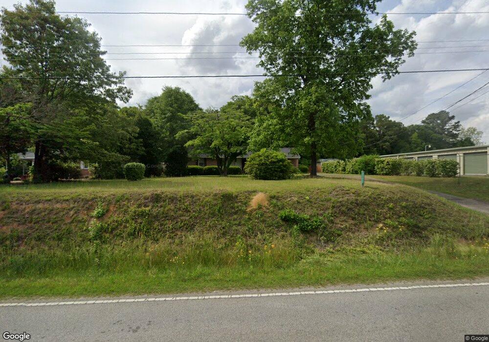
612 W Smith Ave Darlington, SC 29532
Estimated Value: $126,803 - $169,000
3
Beds
2
Baths
1,590
Sq Ft
$89/Sq Ft
Est. Value
About This Home
This home is located at 612 W Smith Ave, Darlington, SC 29532 and is currently estimated at $141,951, approximately $89 per square foot. 612 W Smith Ave is a home located in Darlington County with nearby schools including Pate Elementary School, Brockington Elementary Magnet School, and Darlington Middle School.
Ownership History
Date
Name
Owned For
Owner Type
Purchase Details
Closed on
Apr 5, 2019
Sold by
Vincent Jesse Charles
Bought by
Vincent Sabrina Watford
Current Estimated Value
Purchase Details
Closed on
Aug 23, 2013
Sold by
Samuel Lorie A
Bought by
Vincent Ii Jesse Charles and Vincent Sabrina Watford
Home Financials for this Owner
Home Financials are based on the most recent Mortgage that was taken out on this home.
Original Mortgage
$58,000
Outstanding Balance
$42,994
Interest Rate
4.31%
Mortgage Type
Future Advance Clause Open End Mortgage
Estimated Equity
$98,957
Create a Home Valuation Report for This Property
The Home Valuation Report is an in-depth analysis detailing your home's value as well as a comparison with similar homes in the area
Home Values in the Area
Average Home Value in this Area
Purchase History
| Date | Buyer | Sale Price | Title Company |
|---|---|---|---|
| Vincent Sabrina Watford | -- | None Available | |
| Vincent Ii Jesse Charles | $72,500 | -- |
Source: Public Records
Mortgage History
| Date | Status | Borrower | Loan Amount |
|---|---|---|---|
| Open | Vincent Ii Jesse Charles | $58,000 |
Source: Public Records
Tax History Compared to Growth
Tax History
| Year | Tax Paid | Tax Assessment Tax Assessment Total Assessment is a certain percentage of the fair market value that is determined by local assessors to be the total taxable value of land and additions on the property. | Land | Improvement |
|---|---|---|---|---|
| 2024 | $408 | $2,900 | $400 | $2,500 |
| 2023 | $725 | $2,900 | $400 | $2,500 |
| 2022 | $725 | $2,900 | $400 | $2,500 |
| 2021 | $725 | $2,900 | $400 | $2,500 |
| 2020 | $404 | $2,900 | $400 | $2,500 |
| 2019 | $415 | $2,990 | $400 | $2,590 |
| 2018 | $395 | $2,800 | $400 | $2,400 |
| 2017 | $366 | $2,800 | $400 | $2,400 |
| 2016 | $319 | $2,800 | $400 | $2,400 |
| 2014 | $344 | $2,800 | $400 | $2,400 |
Source: Public Records
Map
Nearby Homes
- 2303 N Governor Williams Hwy
- 640 Stanley Cir
- 0 Stanley Cir
- 608 Wood Duck Dr
- 527 Stanley Cir
- 500 Alexander St
- 2213 Highway 52
- 2225 Highway 52
- 204 Trexler St
- 107 Byrd Ave
- 1011 Pearl St
- 0 Harry Byrd Hwy
- TBD Lamar Hwy
- TBD N Main St
- 265 Syracuse St
- 116 Cleveland St
- 113 Cleveland St
- 135 Greenway Dr
- 213 Wire Rd
- 5183 Shallowford Rd
- 602 W Smith Ave
- 616 W Smith Ave
- 613 W Smith Ave
- 609 W Smith Ave
- 603 W Smith Ave
- 621 W Smith Ave
- 1 Tbd N Governor Williams Hwy
- 607 N Governor Williams Hwy
- 00 N Governor Williams Hwy
- 649 Stanley Cir
- 645 Stanley Cir
- Lot N Gov Wms Hwy
- 669 Stanley Cir
- 708 W Smith Ave
- 649 Weaver St
- 704 Weaver St
- 708 Weaver St
- 645 Weaver St
- 716 Weaver St
- 720 Weaver St