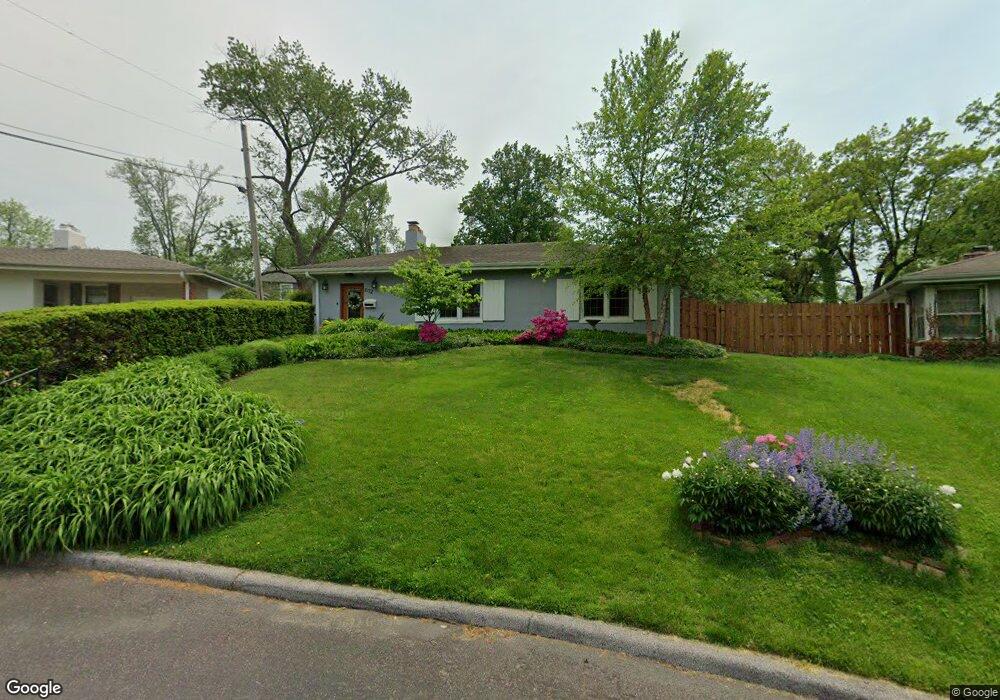
612 Warrenton Dr Saint Louis, MO 63122
Estimated Value: $335,000 - $412,000
2
Beds
1
Bath
1,434
Sq Ft
$264/Sq Ft
Est. Value
About This Home
This home is located at 612 Warrenton Dr, Saint Louis, MO 63122 and is currently estimated at $379,017, approximately $264 per square foot. 612 Warrenton Dr is a home located in St. Louis County with nearby schools including F.P. Tillman Elementary School, Nipher Middle School, and Kirkwood Senior High School.
Ownership History
Date
Name
Owned For
Owner Type
Purchase Details
Closed on
Jun 14, 2019
Sold by
Brooker Deborah A
Bought by
Brooker Deborah A and Clements Amy M
Current Estimated Value
Purchase Details
Closed on
Feb 2, 2001
Sold by
Lageson Deborah A
Bought by
Brooker Deborah A
Purchase Details
Closed on
Jul 28, 2000
Sold by
Tuttle William M and Tuttle Athena
Bought by
Lageson Deborah and Lageson Deborah A
Home Financials for this Owner
Home Financials are based on the most recent Mortgage that was taken out on this home.
Original Mortgage
$144,000
Interest Rate
8.15%
Create a Home Valuation Report for This Property
The Home Valuation Report is an in-depth analysis detailing your home's value as well as a comparison with similar homes in the area
Home Values in the Area
Average Home Value in this Area
Purchase History
| Date | Buyer | Sale Price | Title Company |
|---|---|---|---|
| Brooker Deborah A | -- | None Available | |
| Brooker Deborah A | -- | -- | |
| Lageson Deborah | $160,000 | -- |
Source: Public Records
Mortgage History
| Date | Status | Borrower | Loan Amount |
|---|---|---|---|
| Previous Owner | Lageson Deborah | $144,000 |
Source: Public Records
Tax History Compared to Growth
Tax History
| Year | Tax Paid | Tax Assessment Tax Assessment Total Assessment is a certain percentage of the fair market value that is determined by local assessors to be the total taxable value of land and additions on the property. | Land | Improvement |
|---|---|---|---|---|
| 2025 | $3,349 | $57,100 | $45,220 | $11,880 |
| 2024 | $3,349 | $53,180 | $37,680 | $15,500 |
| 2023 | $3,296 | $53,180 | $37,680 | $15,500 |
| 2022 | $3,114 | $46,860 | $36,520 | $10,340 |
| 2021 | $3,074 | $46,860 | $36,520 | $10,340 |
| 2020 | $3,275 | $48,030 | $36,520 | $11,510 |
| 2019 | $3,275 | $48,030 | $36,520 | $11,510 |
| 2018 | $3,499 | $45,350 | $27,130 | $18,220 |
| 2017 | $3,495 | $45,350 | $27,130 | $18,220 |
| 2016 | $2,912 | $38,020 | $21,110 | $16,910 |
| 2015 | $2,909 | $38,020 | $21,110 | $16,910 |
| 2014 | -- | $33,340 | $10,600 | $22,740 |
Source: Public Records
Map
Nearby Homes
- 641 Brookhaven Ct
- 1 Dickson Ct
- 551 Brookhaven Ct
- 830 Victoria Place
- 1306 Glendale Gardens Dr Unit B
- 1306 Glendale Gardens Dr Unit C
- 1095 N Sappington Rd
- 754 Brownell Ave
- 826 Chelsea Ave
- 1030 Sylvan Place
- 858 Chelsea Ave
- 1025 Glenmoor Ln
- 931 Brownell Ave
- 1509 Andrew Dr
- 832 Fuhrmann Terrace
- 438 N Sappington Rd Unit B
- 436 N Sappington Rd Unit C
- 987 Dwyer Ave
- 946 Dwyer Ave
- 65 Ridge Line Dr
- 616 Warrenton Dr
- 1004 Dickson St
- 609 Meadowridge Ln
- 615 Meadowridge Ln
- 603 Meadowridge Ln
- 622 Warrenton Dr
- 611 Warrenton Dr
- 1001 Dickson St
- 566 Eastwood Dr
- 628 Warrenton Dr
- 985 Dickson St
- 625 Meadowridge Ln
- 623 Warrenton Dr
- 614 Meadowridge Ln
- 597 Meadowridge Dr
- 610 Meadowridge Ln
- 620 Meadowridge Ln
- 618 Lewiston Dr
- 604 Meadowridge Ln
- 634 Warrenton Dr