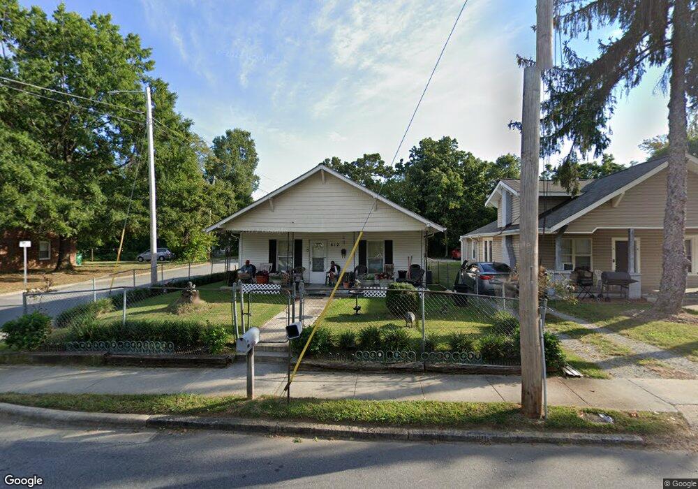
612 Wise Ave High Point, NC 27260
Greater High Point NeighborhoodEstimated Value: $94,000 - $154,455
2
Beds
1
Bath
1,128
Sq Ft
$115/Sq Ft
Est. Value
About This Home
This home is located at 612 Wise Ave, High Point, NC 27260 and is currently estimated at $130,114, approximately $115 per square foot. 612 Wise Ave is a home located in Guilford County with nearby schools including Fairview Elementary School, Ferndale Middle School, and High Point Central High School.
Ownership History
Date
Name
Owned For
Owner Type
Purchase Details
Closed on
Nov 7, 2023
Sold by
Strickland Tammie and Strickland Richard
Bought by
Pumpkin Patch Properties Llc
Current Estimated Value
Home Financials for this Owner
Home Financials are based on the most recent Mortgage that was taken out on this home.
Original Mortgage
$15,000
Interest Rate
7.2%
Purchase Details
Closed on
Apr 7, 2000
Sold by
Pardue Clayton E and Pardue Dorothy M
Bought by
Douglas Alfred and Douglas Shirley
Home Financials for this Owner
Home Financials are based on the most recent Mortgage that was taken out on this home.
Original Mortgage
$45,600
Interest Rate
12.55%
Create a Home Valuation Report for This Property
The Home Valuation Report is an in-depth analysis detailing your home's value as well as a comparison with similar homes in the area
Home Values in the Area
Average Home Value in this Area
Purchase History
| Date | Buyer | Sale Price | Title Company |
|---|---|---|---|
| Pumpkin Patch Properties Llc | $85,000 | None Listed On Document | |
| Pumpkin Patch Properties Llc | $85,000 | None Listed On Document | |
| Douglas Alfred | $57,000 | -- |
Source: Public Records
Mortgage History
| Date | Status | Borrower | Loan Amount |
|---|---|---|---|
| Closed | Pumpkin Patch Properties Llc | $15,000 | |
| Closed | Pumpkin Patch Properties Llc | $90,000 | |
| Previous Owner | Douglas Alfred | $45,600 | |
| Closed | Douglas Alfred | $8,550 |
Source: Public Records
Tax History
| Year | Tax Paid | Tax Assessment Tax Assessment Total Assessment is a certain percentage of the fair market value that is determined by local assessors to be the total taxable value of land and additions on the property. | Land | Improvement |
|---|---|---|---|---|
| 2025 | $819 | $59,400 | $8,000 | $51,400 |
| 2024 | $819 | $42,800 | $8,000 | $34,800 |
| 2023 | $819 | $42,800 | $8,000 | $34,800 |
| 2022 | $577 | $42,800 | $8,000 | $34,800 |
| 2021 | $404 | $29,300 | $5,000 | $24,300 |
| 2020 | $404 | $29,300 | $5,000 | $24,300 |
| 2019 | $404 | $29,300 | $0 | $0 |
| 2018 | $402 | $29,300 | $0 | $0 |
| 2017 | $404 | $29,300 | $0 | $0 |
| 2016 | $332 | $23,700 | $0 | $0 |
| 2015 | $334 | $23,700 | $0 | $0 |
| 2014 | $340 | $23,700 | $0 | $0 |
Source: Public Records
Map
Nearby Homes
- 909 Randolph St
- 705 Wise Ave
- 1015 Sharon St
- 925 Randolph St
- 1021 Asheboro St
- 1010 Grace St
- 702 Park St
- 1012 Jefferson St
- 507 E Grimes Ave
- 1103 Jefferson St
- 423 Tate St
- 812 E Russell Ave
- 1309 Pershing St
- 809 E Green Dr
- 526 White Oak St
- 650 Wesley Dr
- 518 Whiteoak St
- 517 Walnut St
- 640 Wesley Dr
- 616 S Elm St
Your Personal Tour Guide
Ask me questions while you tour the home.