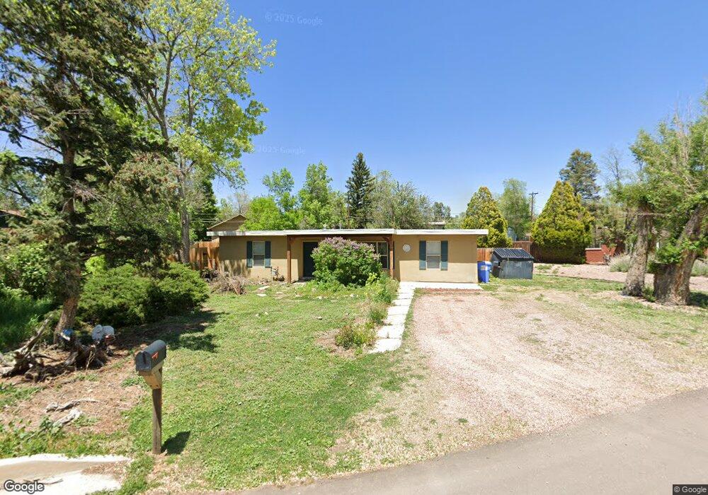
612 Yucca Dr Colorado Springs, CO 80905
Ivywild NeighborhoodEstimated Value: $354,000 - $420,000
2
Beds
1
Bath
1,176
Sq Ft
$323/Sq Ft
Est. Value
About This Home
This home is located at 612 Yucca Dr, Colorado Springs, CO 80905 and is currently estimated at $380,004, approximately $323 per square foot. 612 Yucca Dr is a home located in El Paso County with nearby schools including Adams Elementary School, North Middle School, and William J. Palmer High School.
Ownership History
Date
Name
Owned For
Owner Type
Purchase Details
Closed on
Feb 19, 2008
Sold by
Deutsche Bank Trust Co Americas
Bought by
Mannino Anna M
Current Estimated Value
Home Financials for this Owner
Home Financials are based on the most recent Mortgage that was taken out on this home.
Original Mortgage
$49,600
Outstanding Balance
$30,659
Interest Rate
5.68%
Mortgage Type
Unknown
Estimated Equity
$349,345
Purchase Details
Closed on
Nov 8, 1991
Bought by
Mannino Anna M
Purchase Details
Closed on
Mar 1, 1988
Bought by
Mannino Anna M
Create a Home Valuation Report for This Property
The Home Valuation Report is an in-depth analysis detailing your home's value as well as a comparison with similar homes in the area
Home Values in the Area
Average Home Value in this Area
Purchase History
| Date | Buyer | Sale Price | Title Company |
|---|---|---|---|
| Mannino Anna M | $62,000 | None Available | |
| Mannino Anna M | $46,000 | -- | |
| Mannino Anna M | -- | -- |
Source: Public Records
Mortgage History
| Date | Status | Borrower | Loan Amount |
|---|---|---|---|
| Open | Mannino Anna M | $49,600 |
Source: Public Records
Tax History Compared to Growth
Tax History
| Year | Tax Paid | Tax Assessment Tax Assessment Total Assessment is a certain percentage of the fair market value that is determined by local assessors to be the total taxable value of land and additions on the property. | Land | Improvement |
|---|---|---|---|---|
| 2025 | $1,271 | $28,330 | -- | -- |
| 2024 | $1,158 | $27,270 | $4,620 | $22,650 |
| 2022 | $984 | $17,580 | $3,820 | $13,760 |
| 2021 | $1,067 | $18,090 | $3,930 | $14,160 |
| 2020 | $1,002 | $14,760 | $3,290 | $11,470 |
| 2019 | $996 | $14,760 | $3,290 | $11,470 |
| 2018 | $930 | $12,680 | $2,740 | $9,940 |
| 2017 | $881 | $12,680 | $2,740 | $9,940 |
| 2016 | $690 | $11,900 | $2,790 | $9,110 |
| 2015 | $687 | $11,900 | $2,790 | $9,110 |
| 2014 | $676 | $11,230 | $2,630 | $8,600 |
Source: Public Records
Map
Nearby Homes
- 1515 Parkway Dr
- 326 W Ramona Ave
- 1611 Lorraine St
- 308 Laclede Ave
- 229-231 Crestone Ave
- 1627 Apache Trail
- 219 W Ramona Ave
- 313 Laclede Ave
- 403 Laclede Ave
- 312 Cheyenne Blvd
- 416 Cheyenne Blvd
- 777 Saturn Dr Unit 200
- 777 Saturn Dr Unit 312
- 777 Saturn Dr Unit 409
- 777 Saturn Dr Unit 301
- 924 Tabor Place
- 900 Saturn Dr Unit 302
- 900 Saturn Dr Unit 706
- 900 Saturn Dr Unit 805
- 900 Saturn Dr Unit 110