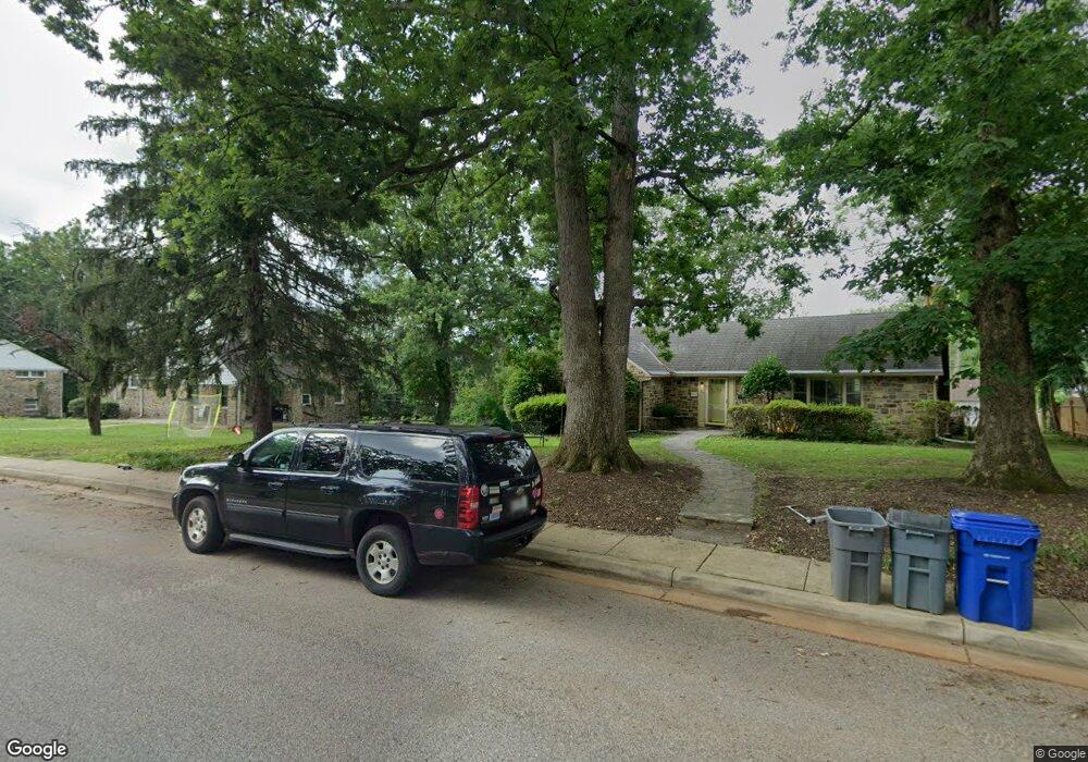
6120 Benhurst Rd Baltimore, MD 21209
Cheswolde NeighborhoodEstimated Value: $954,497
Studio
2
Baths
1,200
Sq Ft
$795/Sq Ft
Est. Value
About This Home
This home is located at 6120 Benhurst Rd, Baltimore, MD 21209 and is currently estimated at $954,497, approximately $795 per square foot. 6120 Benhurst Rd is a home located in Baltimore City with nearby schools including Cross Country Elementary School, Booker T. Washington Middle School, and Forest Park High School.
Ownership History
Date
Name
Owned For
Owner Type
Purchase Details
Closed on
Aug 31, 2007
Sold by
Wise Daniel Y
Bought by
Neuman Gilad and Neuman Rachel Leah
Current Estimated Value
Home Financials for this Owner
Home Financials are based on the most recent Mortgage that was taken out on this home.
Original Mortgage
$254,400
Outstanding Balance
$162,139
Interest Rate
6.7%
Mortgage Type
Purchase Money Mortgage
Estimated Equity
$792,358
Purchase Details
Closed on
Aug 22, 2002
Sold by
Besner Howard K
Bought by
Wise Daniel Y and Wise Simcha
Purchase Details
Closed on
Feb 27, 1998
Sold by
Pustin Selma M
Bought by
Besner Howard K
Create a Home Valuation Report for This Property
The Home Valuation Report is an in-depth analysis detailing your home's value as well as a comparison with similar homes in the area
Home Values in the Area
Average Home Value in this Area
Purchase History
| Date | Buyer | Sale Price | Title Company |
|---|---|---|---|
| Neuman Gilad | $318,000 | -- | |
| Wise Daniel Y | $165,000 | -- | |
| Besner Howard K | $130,000 | -- |
Source: Public Records
Mortgage History
| Date | Status | Borrower | Loan Amount |
|---|---|---|---|
| Open | Neuman Gilad | $254,400 |
Source: Public Records
Tax History Compared to Growth
Tax History
| Year | Tax Paid | Tax Assessment Tax Assessment Total Assessment is a certain percentage of the fair market value that is determined by local assessors to be the total taxable value of land and additions on the property. | Land | Improvement |
|---|---|---|---|---|
| 2025 | $5,467 | $1,075,300 | -- | -- |
| 2024 | $5,467 | $248,800 | $103,300 | $145,500 |
| 2023 | $5,407 | $246,733 | $0 | $0 |
| 2022 | $5,371 | $244,667 | $0 | $0 |
| 2021 | $5,725 | $242,600 | $103,300 | $139,300 |
| 2020 | $5,319 | $242,067 | $0 | $0 |
| 2019 | $5,279 | $241,533 | $0 | $0 |
| 2018 | $5,165 | $241,000 | $103,300 | $137,700 |
| 2017 | $4,995 | $229,733 | $0 | $0 |
| 2016 | $6,389 | $218,467 | $0 | $0 |
| 2015 | $6,389 | $207,200 | $0 | $0 |
| 2014 | $6,389 | $207,200 | $0 | $0 |
Source: Public Records
Map
Nearby Homes
- 6111 Western Run Dr
- 2835 Baneberry Ct
- 6350 Red Cedar Place Unit 309
- 6350 Red Cedar Place Unit 214
- 6350 Red Cedar Place Unit 211
- 6501 Western Run Dr
- 3111 Parkington Ave
- 6240 Woodcrest Ave
- 3307 Parkington Ave
- 5919 Winner Ave
- 2706 Bartol Ave
- 3031 Fallstaff Rd Unit 306C
- 3041 Fallstaff Rd Unit 405D
- 3415 Menlo Dr
- 3310 Glen Ave
- 3312 Glen Ave
- 2507 Taney Rd
- 6317 Park Heights Ave Unit 404
- 6317 Park Heights Ave Unit 103
- 6317 Park Heights Ave Unit 417
- 6124 Benhurst Rd
- 6118 Benhurst Rd
- 6201 Western Run Dr
- 6203 Western Run Dr
- 6115 Benhurst Rd
- 6119 Western Run Dr
- 6205 Western Run Dr
- 6113 Benhurst Rd
- 6117 Benhurst Rd
- 6207 Western Run Dr
- 6117 Western Run Dr
- 3001 W Strathmore Ave
- 6116 Benhurst Rd
- 6209 Western Run Dr
- 6111 Benhurst Rd
- 6119 Benhurst Rd
- 6115 Western Run Dr
- 3005 W Strathmore Ave
- 6109 Benhurst Rd
- 2911 W Strathmore Ave