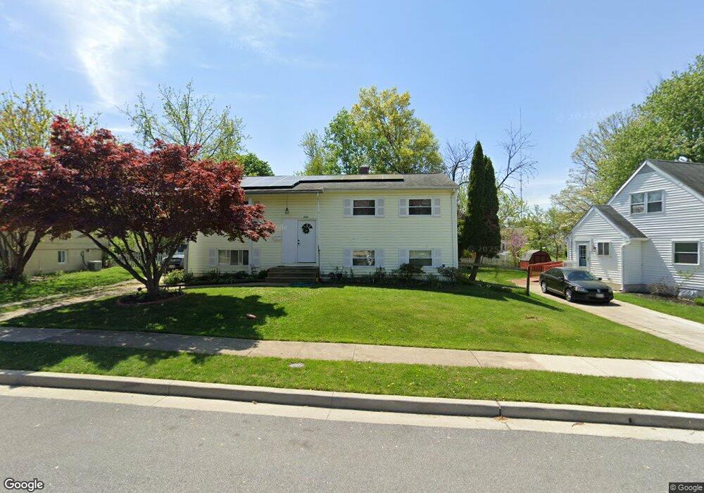
6121 Burnt Oak Rd Catonsville, MD 21228
Estimated Value: $379,000 - $447,000
--
Bed
2
Baths
1,050
Sq Ft
$391/Sq Ft
Est. Value
About This Home
This home is located at 6121 Burnt Oak Rd, Catonsville, MD 21228 and is currently estimated at $410,657, approximately $391 per square foot. 6121 Burnt Oak Rd is a home located in Baltimore County with nearby schools including Woodbridge Elementary School, Southwest Academy, and Woodlawn High School.
Ownership History
Date
Name
Owned For
Owner Type
Purchase Details
Closed on
Jul 20, 2005
Sold by
Upson Donald W
Bought by
Dimas Carlos E
Current Estimated Value
Home Financials for this Owner
Home Financials are based on the most recent Mortgage that was taken out on this home.
Original Mortgage
$228,800
Outstanding Balance
$127,348
Interest Rate
6.7%
Mortgage Type
Adjustable Rate Mortgage/ARM
Estimated Equity
$283,309
Purchase Details
Closed on
Dec 31, 2003
Sold by
Peyton Patricia M
Bought by
Upson Donald W and Upson Janet C
Purchase Details
Closed on
Feb 8, 1996
Sold by
Burke Patricia M
Bought by
Peyton Patricia M
Purchase Details
Closed on
Jun 3, 1994
Sold by
Snead Arline W
Bought by
Burke Patricia M
Home Financials for this Owner
Home Financials are based on the most recent Mortgage that was taken out on this home.
Original Mortgage
$100,000
Interest Rate
8.49%
Create a Home Valuation Report for This Property
The Home Valuation Report is an in-depth analysis detailing your home's value as well as a comparison with similar homes in the area
Home Values in the Area
Average Home Value in this Area
Purchase History
| Date | Buyer | Sale Price | Title Company |
|---|---|---|---|
| Dimas Carlos E | $286,000 | -- | |
| Upson Donald W | $190,000 | -- | |
| Peyton Patricia M | -- | -- | |
| Burke Patricia M | $118,000 | -- |
Source: Public Records
Mortgage History
| Date | Status | Borrower | Loan Amount |
|---|---|---|---|
| Open | Dimas Carlos E | $228,800 | |
| Closed | Dimas Carlos E | $57,200 | |
| Previous Owner | Burke Patricia M | $100,000 |
Source: Public Records
Tax History Compared to Growth
Tax History
| Year | Tax Paid | Tax Assessment Tax Assessment Total Assessment is a certain percentage of the fair market value that is determined by local assessors to be the total taxable value of land and additions on the property. | Land | Improvement |
|---|---|---|---|---|
| 2025 | $4,955 | $266,433 | -- | -- |
| 2024 | $4,955 | $250,200 | $78,600 | $171,600 |
| 2023 | $2,395 | $238,900 | $0 | $0 |
| 2022 | $4,285 | $227,600 | $0 | $0 |
| 2021 | $4,319 | $216,300 | $78,600 | $137,700 |
| 2020 | $4,319 | $211,200 | $0 | $0 |
| 2019 | $4,284 | $206,100 | $0 | $0 |
| 2018 | $4,122 | $201,000 | $65,100 | $135,900 |
| 2017 | $3,906 | $193,167 | $0 | $0 |
| 2016 | $3,717 | $185,333 | $0 | $0 |
| 2015 | $3,717 | $177,500 | $0 | $0 |
| 2014 | $3,717 | $177,500 | $0 | $0 |
Source: Public Records
Map
Nearby Homes
- 6200 Gilston Park Rd
- 6031 Burnt Oak Rd
- 6263 Gilston Park Rd
- 1111 Cummings Ave
- 3 Mcgrady Square
- 1019 Cummings Ave
- 67 Walden Mill Way
- 1013 Cummings Ave
- 800 Crosby Rd
- 6028 Moorehead Rd
- 908 Vanderwood Rd
- 1418 Harberson Rd
- 2100 Chantilla Rd
- 920 Vanderwood Rd
- 5926 Old Frederick Rd
- 353 N Beaumont Ave
- 930 Sedgley Rd
- 1009 Rowe Ln
- 1007 Marksworth Rd
- 343 N Beaumont Ave
- 6123 Burnt Oak Rd
- 6119 Burnt Oak Rd
- 1305 Westburn Rd
- 1307 Westburn Rd
- 6117 Burnt Oak Rd
- 6118 Burnt Oak Rd
- 6120 Burnt Oak Rd
- 6116 Burnt Oak Rd
- 1303 Westburn Rd
- 1308 Westburn Rd
- 1301 Westburn Rd
- 1310 Westburn Rd
- 1306 Westburn Rd
- 6206 Chesworth Rd
- 6115 Burnt Oak Rd
- 6204 Chesworth Rd
- 1312 Westburn Rd
- 6202 Chesworth Rd
- 6114 Burnt Oak Rd
- 1317 Westburn Rd