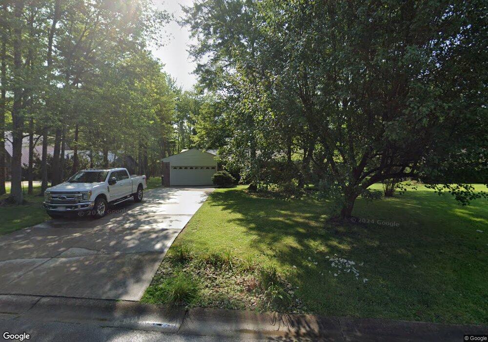
6121 Doe Ct Loveland, OH 45140
Outer Loveland NeighborhoodEstimated Value: $380,097 - $429,000
3
Beds
2
Baths
1,484
Sq Ft
$273/Sq Ft
Est. Value
About This Home
This home is located at 6121 Doe Ct, Loveland, OH 45140 and is currently estimated at $405,024, approximately $272 per square foot. 6121 Doe Ct is a home located in Clermont County with nearby schools including Milford Senior High School, Milford Christian Academy, and St. Andrew - St. Elizabeth Ann Seton School.
Ownership History
Date
Name
Owned For
Owner Type
Purchase Details
Closed on
Mar 12, 1999
Sold by
Mowrey Dorothy E
Bought by
Register Adolphus M Sandra L
Current Estimated Value
Home Financials for this Owner
Home Financials are based on the most recent Mortgage that was taken out on this home.
Original Mortgage
$50,000
Interest Rate
6.41%
Mortgage Type
New Conventional
Purchase Details
Closed on
Dec 23, 1998
Sold by
Est John D Sheldon
Bought by
Mowrey Dorothy E and Terlesky Mary A
Purchase Details
Closed on
Feb 1, 1987
Purchase Details
Closed on
Jan 1, 1986
Create a Home Valuation Report for This Property
The Home Valuation Report is an in-depth analysis detailing your home's value as well as a comparison with similar homes in the area
Home Values in the Area
Average Home Value in this Area
Purchase History
| Date | Buyer | Sale Price | Title Company |
|---|---|---|---|
| Register Adolphus M Sandra L | $125,000 | -- | |
| Mowrey Dorothy E | $120,000 | -- | |
| -- | $84,500 | -- | |
| -- | $75,600 | -- |
Source: Public Records
Mortgage History
| Date | Status | Borrower | Loan Amount |
|---|---|---|---|
| Closed | Register Adolphus M Sandra L | $50,000 |
Source: Public Records
Tax History Compared to Growth
Tax History
| Year | Tax Paid | Tax Assessment Tax Assessment Total Assessment is a certain percentage of the fair market value that is determined by local assessors to be the total taxable value of land and additions on the property. | Land | Improvement |
|---|---|---|---|---|
| 2024 | $4,410 | $105,220 | $19,430 | $85,790 |
| 2023 | $4,485 | $105,220 | $19,430 | $85,790 |
| 2022 | $4,335 | $79,590 | $14,700 | $64,890 |
| 2021 | $4,337 | $79,590 | $14,700 | $64,890 |
| 2020 | $4,159 | $79,590 | $14,700 | $64,890 |
| 2019 | $3,534 | $65,700 | $12,990 | $52,710 |
| 2018 | $3,535 | $65,700 | $12,990 | $52,710 |
| 2017 | $3,218 | $65,700 | $12,990 | $52,710 |
| 2016 | $3,282 | $56,630 | $11,200 | $45,430 |
| 2015 | $3,002 | $56,630 | $11,200 | $45,430 |
| 2014 | $3,002 | $56,630 | $11,200 | $45,430 |
| 2013 | $2,987 | $54,950 | $12,250 | $42,700 |
Source: Public Records
Map
Nearby Homes
- 6211 Spires Dr
- 6149 Century Farm Dr
- 6320 Ashford Dr
- 1803 Wheatfield Way
- 6141 Brandywine Ct
- 6077 Branch Hill Guinea Pike
- 2013 Weber Rd
- 1124 Clover Field Dr
- 1064 Weber Rd
- 1113 Clover Field Dr
- 6108 Donna Jay Dr
- 1140 Weber Rd
- 6211 Cook Rd
- 5933 Firm Stance Dr
- 1285 State Rte 28
- 1289 Woodville Pike
- 1376 Barre Ln
- 1513 Charleston Ln
- 6395 Barre Rd
- 1706 Cottontail Dr