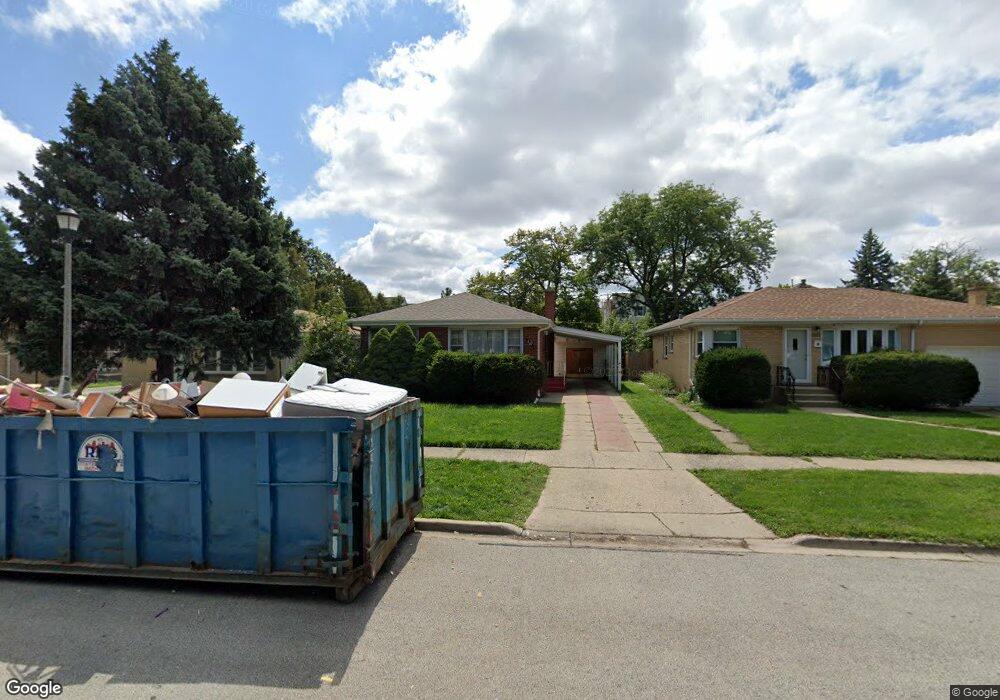
6121 Elm St Morton Grove, IL 60053
Estimated Value: $327,000 - $421,000
3
Beds
1
Bath
1,013
Sq Ft
$372/Sq Ft
Est. Value
About This Home
This home is located at 6121 Elm St, Morton Grove, IL 60053 and is currently estimated at $376,554, approximately $371 per square foot. 6121 Elm St is a home located in Cook County with nearby schools including Park View Elementary School, Niles West High School, and Arie Crown Hebrew Day School.
Ownership History
Date
Name
Owned For
Owner Type
Purchase Details
Closed on
Jan 21, 1994
Sold by
Bick Kenneth L and Bick Frieda O
Bought by
Manego Valeriano D and Manego Evelyn B
Current Estimated Value
Home Financials for this Owner
Home Financials are based on the most recent Mortgage that was taken out on this home.
Original Mortgage
$115,000
Interest Rate
7.26%
Create a Home Valuation Report for This Property
The Home Valuation Report is an in-depth analysis detailing your home's value as well as a comparison with similar homes in the area
Home Values in the Area
Average Home Value in this Area
Purchase History
| Date | Buyer | Sale Price | Title Company |
|---|---|---|---|
| Manego Valeriano D | $100,000 | -- |
Source: Public Records
Mortgage History
| Date | Status | Borrower | Loan Amount |
|---|---|---|---|
| Closed | Manego Valeriano D | $115,000 |
Source: Public Records
Tax History Compared to Growth
Tax History
| Year | Tax Paid | Tax Assessment Tax Assessment Total Assessment is a certain percentage of the fair market value that is determined by local assessors to be the total taxable value of land and additions on the property. | Land | Improvement |
|---|---|---|---|---|
| 2024 | $8,954 | $31,001 | $10,472 | $20,529 |
| 2023 | $8,531 | $31,001 | $10,472 | $20,529 |
| 2022 | $8,531 | $31,001 | $10,472 | $20,529 |
| 2021 | $8,427 | $26,274 | $6,444 | $19,830 |
| 2020 | $8,203 | $26,274 | $6,444 | $19,830 |
| 2019 | $8,266 | $29,522 | $6,444 | $23,078 |
| 2018 | $7,089 | $22,467 | $5,839 | $16,628 |
| 2017 | $7,142 | $22,467 | $5,839 | $16,628 |
| 2016 | $6,732 | $22,467 | $5,839 | $16,628 |
| 2015 | $6,093 | $18,909 | $5,034 | $13,875 |
| 2014 | $6,087 | $18,909 | $5,034 | $13,875 |
| 2013 | $5,948 | $18,909 | $5,034 | $13,875 |
Source: Public Records
Map
Nearby Homes
- 6166 Mayfair St Unit 33714
- 6140 Elm St
- 6163 Mayfair St Unit 102714
- 6035 Lincoln Ave
- 8425 Callie Ave Unit 62
- 8300 Callie Ave Unit F314
- 8300 Callie Ave Unit F610
- 8400 Callie Ave Unit D209
- 8400 Callie Ave Unit D207
- 6411 Elm St
- 8380 Miami Ave
- 6330 Lincoln Ave Unit 2A
- 8650 Ferris Ave Unit 203
- 8712 Ferris Ave
- 307 Narragansett Ct
- 6330 Hennings Ct
- 6338 Hennings Ct
- 6332 Hennings Ct
- 6336 Hennings Ct
- 6334 Hennings Ct
- 6117 Elm St
- 6125 Elm St
- 6113 Elm St
- 6129 Elm St
- 6109 Elm St
- 6133 Elm St
- 6116 Mayfair St Unit 71714
- 6126 Mayfair St Unit 647146
- 6126 Mayfair St Unit 6-4
- 6114 Mayfair St Unit 72714
- 6124 Mayfair St Unit 63714
- 6124 Mayfair St Unit 603
- 6105 Elm St
- 6112 Mayfair St Unit 73714
- 6136 Mayfair St Unit 51714
- 6104 Mayfair St Unit 83714
- 6137 Elm St
- 6122 Mayfair St Unit 62714
- 6106 Mayfair St Unit 84714
- 6120 Mayfair Ave