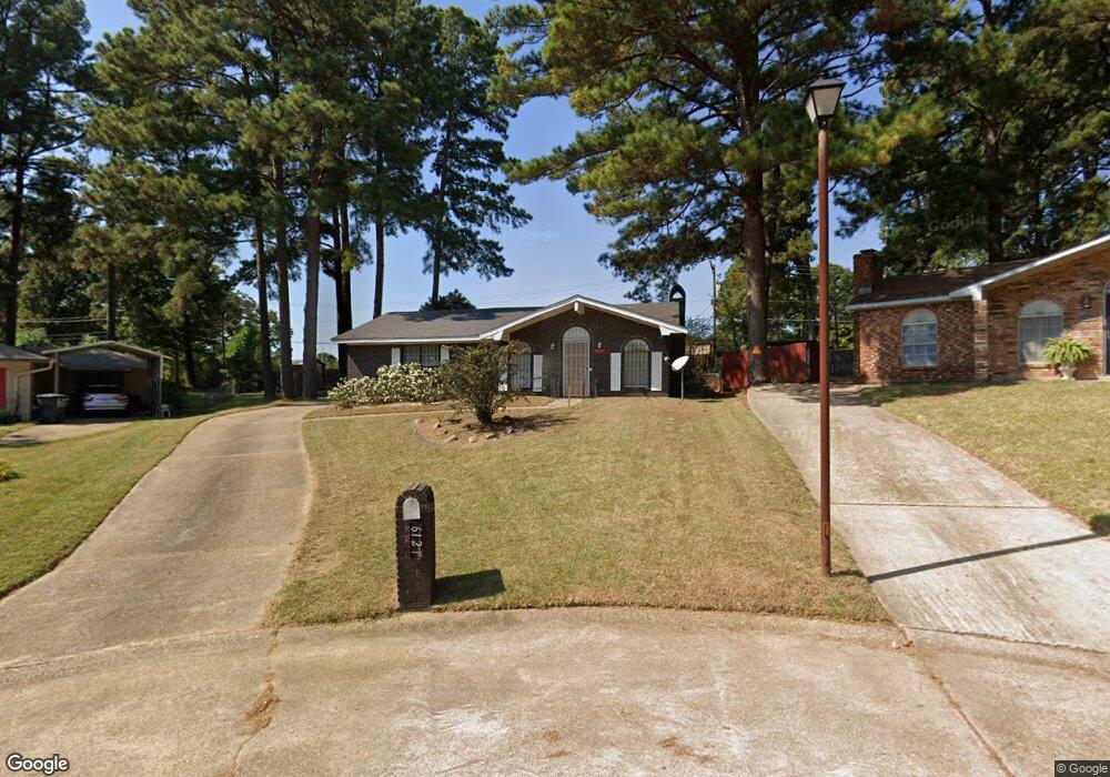
6121 Rollo Cir Shreveport, LA 71119
Western Hills-Yarborough NeighborhoodEstimated Value: $133,000 - $182,000
3
Beds
2
Baths
1,424
Sq Ft
$104/Sq Ft
Est. Value
About This Home
This home is located at 6121 Rollo Cir, Shreveport, LA 71119 and is currently estimated at $147,926, approximately $103 per square foot. 6121 Rollo Cir is a home located in Caddo Parish with nearby schools including Judson Fundamental Elementary School, Fairfield Magnet School, and Claiborne Fundamental Elementary School.
Ownership History
Date
Name
Owned For
Owner Type
Purchase Details
Closed on
Apr 27, 2006
Sold by
Secretary Of Veterans Affairs
Bought by
Bell Dennis
Current Estimated Value
Home Financials for this Owner
Home Financials are based on the most recent Mortgage that was taken out on this home.
Original Mortgage
$1,000,000
Outstanding Balance
$576,836
Interest Rate
6.33%
Mortgage Type
Unknown
Estimated Equity
-$428,910
Create a Home Valuation Report for This Property
The Home Valuation Report is an in-depth analysis detailing your home's value as well as a comparison with similar homes in the area
Home Values in the Area
Average Home Value in this Area
Purchase History
| Date | Buyer | Sale Price | Title Company |
|---|---|---|---|
| Bell Dennis | $82,400 | None Available |
Source: Public Records
Mortgage History
| Date | Status | Borrower | Loan Amount |
|---|---|---|---|
| Open | Bell Dennis | $1,000,000 |
Source: Public Records
Tax History Compared to Growth
Tax History
| Year | Tax Paid | Tax Assessment Tax Assessment Total Assessment is a certain percentage of the fair market value that is determined by local assessors to be the total taxable value of land and additions on the property. | Land | Improvement |
|---|---|---|---|---|
| 2024 | $1,406 | $9,018 | $1,950 | $7,068 |
| 2023 | $1,313 | $8,237 | $1,857 | $6,380 |
| 2022 | $1,313 | $8,237 | $1,857 | $6,380 |
| 2021 | $1,293 | $8,237 | $1,857 | $6,380 |
| 2020 | $1,293 | $8,237 | $1,857 | $6,380 |
| 2019 | $1,332 | $8,238 | $1,857 | $6,381 |
| 2018 | $95 | $8,238 | $1,857 | $6,381 |
| 2017 | $1,353 | $8,238 | $1,857 | $6,381 |
| 2015 | $74 | $8,070 | $1,860 | $6,210 |
| 2014 | $74 | $8,070 | $1,860 | $6,210 |
| 2013 | -- | $8,070 | $1,860 | $6,210 |
Source: Public Records
Map
Nearby Homes
- 3304 Linda St
- 5905 Jefferson Paige Rd
- 3405 Sandra Dr
- 3304 Gorton Rd
- 5844 Jefferson Paige Rd
- 6111 Debbie St
- 213 Medallion Cir
- 5800 Jefferson Paige Rd
- 6141 Yarbrough Rd
- 6409 Oak Valley Dr
- 3826 Pines Rd
- 0 Southridge Dr Unit 30 21002805
- 5762 Jefferson Paige Rd
- 3112 Gorton Rd
- 3132 Sandra Dr
- 3109 Gorton Rd
- 3104 Gorton Rd
- 6128 Bradford Dr
- 0 Pines Rd Unit 20833301
- 6214 Border Ln
- 6117 Rollo Cir
- 6122 Rollo Cir
- 6118 Rollo Cir
- 6118 Rollo Cir
- 6109 Rollo Cir
- 6114 Rollo Cir
- 6110 Rollo Cir
- 3445 Gorton Rd
- 3441 Gorton Rd
- 6105 Rollo Cir
- 3204 Linda St
- 3204 Linda St
- 6106 Rollo Cir
- 3212 Linda St
- 3300 Linda St
- 6103 Rollo Cir
- 3437 Gorton Rd
- 3310 Linda St
- 3314 Linda St
- 5986 Jefferson Paige Rd