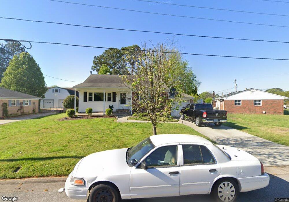
6121 Saunders Dr Virginia Beach, VA 23464
Estimated Value: $364,673 - $432,000
3
Beds
2
Baths
1,568
Sq Ft
$244/Sq Ft
Est. Value
About This Home
This home is located at 6121 Saunders Dr, Virginia Beach, VA 23464 and is currently estimated at $382,668, approximately $244 per square foot. 6121 Saunders Dr is a home located in Virginia Beach City with nearby schools including Woodstock Elementary School, Kempsville Middle School, and Kempsville High School.
Ownership History
Date
Name
Owned For
Owner Type
Purchase Details
Closed on
Mar 10, 2018
Sold by
Wiley Bennie R
Bought by
Dupuis Rober A
Current Estimated Value
Home Financials for this Owner
Home Financials are based on the most recent Mortgage that was taken out on this home.
Original Mortgage
$241,722
Outstanding Balance
$207,136
Interest Rate
4.38%
Mortgage Type
VA
Estimated Equity
$175,532
Create a Home Valuation Report for This Property
The Home Valuation Report is an in-depth analysis detailing your home's value as well as a comparison with similar homes in the area
Home Values in the Area
Average Home Value in this Area
Purchase History
| Date | Buyer | Sale Price | Title Company |
|---|---|---|---|
| Dupuis Rober A | $234,000 | Barrister Of Virginia |
Source: Public Records
Mortgage History
| Date | Status | Borrower | Loan Amount |
|---|---|---|---|
| Open | Dupuis Rober A | $241,722 |
Source: Public Records
Tax History Compared to Growth
Tax History
| Year | Tax Paid | Tax Assessment Tax Assessment Total Assessment is a certain percentage of the fair market value that is determined by local assessors to be the total taxable value of land and additions on the property. | Land | Improvement |
|---|---|---|---|---|
| 2025 | $2,864 | $313,600 | $140,000 | $173,600 |
| 2024 | $2,864 | $295,300 | $140,000 | $155,300 |
| 2023 | $2,919 | $294,800 | $138,000 | $156,800 |
| 2022 | $2,661 | $268,800 | $120,000 | $148,800 |
| 2021 | $2,300 | $232,300 | $88,800 | $143,500 |
| 2020 | $2,373 | $233,200 | $88,800 | $144,400 |
| 2019 | $2,341 | $198,600 | $85,000 | $113,600 |
| 2018 | $1,991 | $198,600 | $85,000 | $113,600 |
| 2017 | $1,964 | $195,900 | $85,000 | $110,900 |
| 2016 | $1,852 | $187,100 | $85,000 | $102,100 |
| 2015 | $1,834 | $185,300 | $85,000 | $100,300 |
| 2014 | $1,672 | $187,700 | $92,500 | $95,200 |
Source: Public Records
Map
Nearby Homes
- 808 Raymond Ct
- 928 Redwood Cir
- 940 Westerly Trail
- 952 Redwood Cir
- 969 Sunnyside Dr
- 1001 Commonwealth Place
- 1031 Commonwealth Place
- 764 Woodstock Rd
- 1066 Commonwealth Place
- 5833 Sherman Ct
- 1027 Bryce Ln
- 1031 Bryce Ln
- 738 Driskill Ct
- 5805 Sherman Ct
- 5809 Sherman Ct
- 5817 Sherman Ct
- 5821 Sherman Ct
- 5825 Sherman Ct
- 5829 Sherman Ct
- 1017 Sunnyside Dr
- 6117 Saunders Dr
- 820 Sunnyside Dr
- 6124 Lexington Ct Unit A
- 6124 Lexington Ct Unit C
- 6124 Lexington Ct
- 6113 Saunders Dr
- 6116 Saunders Dr
- 6112 Saunders Dr
- 6109 Saunders Dr
- 828 Sunnyside Dr
- 805 Westerly Trail
- 6200 Pardue Ct
- 821 Sunnyside Dr
- 6105 Saunders Dr
- 832 Sunnyside Dr
- 6116 Lexington Ct
- 809 Westerly Trail
- 800 Westerly Trail
- 6216 Indian River Rd
- 804 Westerly Trail