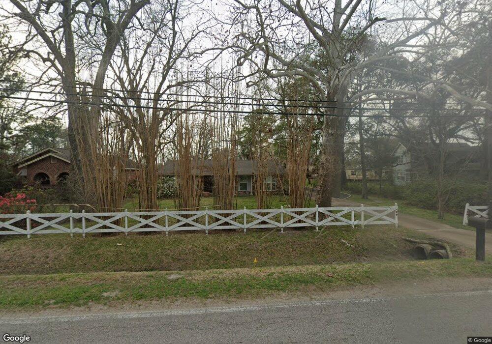
6121 Stuebner Airline Rd Houston, TX 77091
Northside-Northline NeighborhoodEstimated Value: $268,769 - $397,000
3
Beds
2
Baths
2,010
Sq Ft
$169/Sq Ft
Est. Value
About This Home
This home is located at 6121 Stuebner Airline Rd, Houston, TX 77091 and is currently estimated at $339,442, approximately $168 per square foot. 6121 Stuebner Airline Rd is a home located in Harris County with nearby schools including Wesley Elementary School, Williams Middle, and Booker T Washington Sr High.
Ownership History
Date
Name
Owned For
Owner Type
Purchase Details
Closed on
Feb 8, 2000
Sold by
Waldema E Kleiber Irrevocable Trust
Bought by
Kleiber John Kevin and Kleiber Carol
Current Estimated Value
Purchase Details
Closed on
Jan 3, 2000
Sold by
Kleiber Waldema E
Bought by
Waldema E Kleiber Irrevocable Trust
Create a Home Valuation Report for This Property
The Home Valuation Report is an in-depth analysis detailing your home's value as well as a comparison with similar homes in the area
Home Values in the Area
Average Home Value in this Area
Purchase History
| Date | Buyer | Sale Price | Title Company |
|---|---|---|---|
| Kleiber John Kevin | -- | -- | |
| Waldema E Kleiber Irrevocable Trust | -- | -- |
Source: Public Records
Tax History Compared to Growth
Tax History
| Year | Tax Paid | Tax Assessment Tax Assessment Total Assessment is a certain percentage of the fair market value that is determined by local assessors to be the total taxable value of land and additions on the property. | Land | Improvement |
|---|---|---|---|---|
| 2025 | $4,054 | $230,900 | $100,800 | $130,100 |
| 2024 | $4,054 | $193,761 | $100,800 | $92,961 |
| 2023 | $4,054 | $193,761 | $100,800 | $92,961 |
| 2022 | $4,266 | $193,761 | $72,000 | $121,761 |
| 2021 | $4,653 | $199,656 | $43,200 | $156,456 |
| 2020 | $4,605 | $190,170 | $43,200 | $146,970 |
| 2019 | $4,241 | $178,744 | $28,800 | $149,944 |
| 2018 | $4,241 | $167,600 | $28,800 | $138,800 |
| 2017 | $4,238 | $167,600 | $28,800 | $138,800 |
| 2016 | $4,238 | $167,600 | $28,800 | $138,800 |
| 2015 | -- | $164,000 | $25,200 | $138,800 |
| 2014 | -- | $151,700 | $25,200 | $126,500 |
Source: Public Records
Map
Nearby Homes
- 6100 Stuebner Airline Rd
- 522 Surratt Dr
- 422 Surratt Dr
- 0 Pickering St
- 406 Red Ripple Rd
- 434 Yale Oaks Ln
- 615 Northew St Unit J
- 615 Northew St Unit K
- 427 Yale Oaks Ln
- 422 Yale Oaks Ln
- 410 Yale Oaks Ln
- 6057 Yale St
- 609 W Parker Rd
- 0 Brinkman Unit 54849680
- 334 Yale Oaks Ln
- 6105 Morrow St
- 327 Yale Oaks Ln
- 5503 Beall St Unit A
- 0 Maybell St
- 0 Paul Quinn Unit 61481225
- 6115 Stuebner Airline Rd
- 6125 Stuebner Airline Rd
- 559 W Troy Rd
- 555 W Troy Rd
- 551 W Troy Rd
- 558 W Troy Rd
- 547 W Troy Rd
- 554 W Troy Rd
- 550 W Troy Rd
- 543 W Troy Rd
- 6225 Stuebner Airline Rd
- 559 W Obion Rd
- 624 Leago St
- 546 W Troy Rd
- 555 W Obion Rd
- 539 W Troy Rd
- 626 Leago St
- 551 W Obion Rd
- 542 W Troy Rd
- 535 W Troy Rd