Estimated Value: $134,000 - $440,632
2
Beds
2
Baths
976
Sq Ft
$266/Sq Ft
Est. Value
About This Home
This home is located at 6121 Us Highway 20a, Delta, OH 43515 and is currently estimated at $259,544, approximately $265 per square foot. 6121 Us Highway 20a is a home located in Fulton County with nearby schools including Delta Elementary School, Pike-Delta-York Middle School, and Pike-Delta-York High School.
Ownership History
Date
Name
Owned For
Owner Type
Purchase Details
Closed on
Feb 4, 2019
Sold by
Murray Colonel W
Bought by
Murray Colonel W
Current Estimated Value
Purchase Details
Closed on
Jan 25, 2005
Sold by
Harrison Samuel G
Bought by
Murray Colonel W
Home Financials for this Owner
Home Financials are based on the most recent Mortgage that was taken out on this home.
Original Mortgage
$75,257
Interest Rate
7.7%
Mortgage Type
Purchase Money Mortgage
Purchase Details
Closed on
Jan 1, 1990
Bought by
Harrison Russell Gordon
Create a Home Valuation Report for This Property
The Home Valuation Report is an in-depth analysis detailing your home's value as well as a comparison with similar homes in the area
Home Values in the Area
Average Home Value in this Area
Purchase History
| Date | Buyer | Sale Price | Title Company |
|---|---|---|---|
| Murray Colonel W | -- | -- | |
| Murray Colonel W | $75,257 | -- | |
| Harrison Russell Gordon | -- | -- |
Source: Public Records
Mortgage History
| Date | Status | Borrower | Loan Amount |
|---|---|---|---|
| Previous Owner | Murray Colonel W | $75,257 |
Source: Public Records
Tax History Compared to Growth
Tax History
| Year | Tax Paid | Tax Assessment Tax Assessment Total Assessment is a certain percentage of the fair market value that is determined by local assessors to be the total taxable value of land and additions on the property. | Land | Improvement |
|---|---|---|---|---|
| 2024 | $6,721 | $126,850 | $16,560 | $110,290 |
| 2023 | $6,721 | $126,850 | $16,560 | $110,290 |
| 2022 | $2,973 | $58,590 | $13,790 | $44,800 |
| 2021 | $3,072 | $59,500 | $14,700 | $44,800 |
| 2020 | $3,116 | $59,500 | $14,700 | $44,800 |
| 2019 | $2,759 | $54,780 | $12,640 | $42,140 |
| 2018 | $2,009 | $41,030 | $12,640 | $28,390 |
| 2017 | $1,993 | $41,030 | $12,640 | $28,390 |
| 2016 | $2,017 | $39,140 | $12,640 | $26,500 |
| 2015 | $1,893 | $39,140 | $12,640 | $26,500 |
| 2014 | $1,907 | $39,140 | $12,640 | $26,500 |
| 2013 | $1,430 | $29,300 | $11,270 | $18,030 |
Source: Public Records
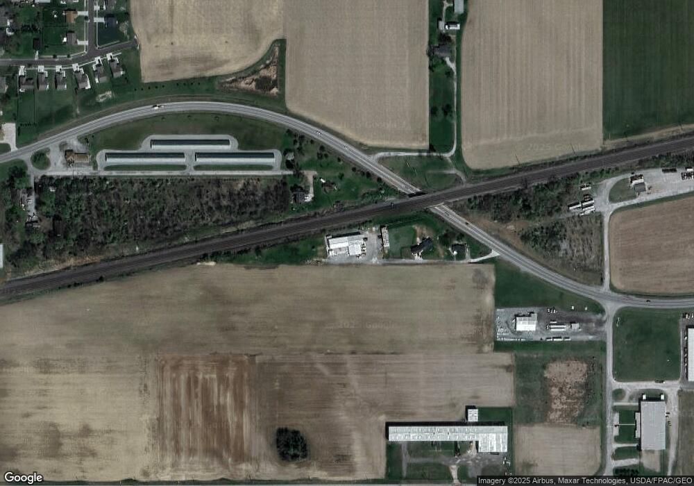
Map
Nearby Homes
- 929 Linwood Ave
- 11 Meadow Lane Dr
- 703 Linwood Ave
- 701 Palmwood St
- 518 Providence St
- 600 Fernwood St
- 305 Mckinley St
- 421 Providence St
- 413 Fernwood St
- 308 Monroe St
- 500 Sandalwood Ln
- 434 Monroe St
- 452 Monroe St
- 5390 County Road D
- 6854 County Road 3
- 9163 County Road F
- 3121 County Road Ef
- 4265 County Road 3
- 7893 County Road 2
- 2076 County Rd E
- 6000 Us Highway 20a Us Hwy
- 6000 US Highway 20a
- LOT 8 Industrial Dr
- LOT 7 Industrial Dr
- LOT 6 Industrial Dr
- 0 Industrial Dr
- 0 Enterprise Dr Unit 5094557
- 0 Enterprise Dr Unit 6051011
- 6221 County Road G
- 6221 County Road G
- 1 Enterprise Dr
- 6210 Us Highway 20a
- 6210 U S 20 Alternate
- 1 Rogers
- 0 Rogers St Unit 5001391
- 0 Rogers St Unit 5050524
- 0 Rogers St Unit 5050521
- 0 Rogers St Unit 5094561
- 0 Rogers St Unit 4616902
- LOT 5 Rogers St