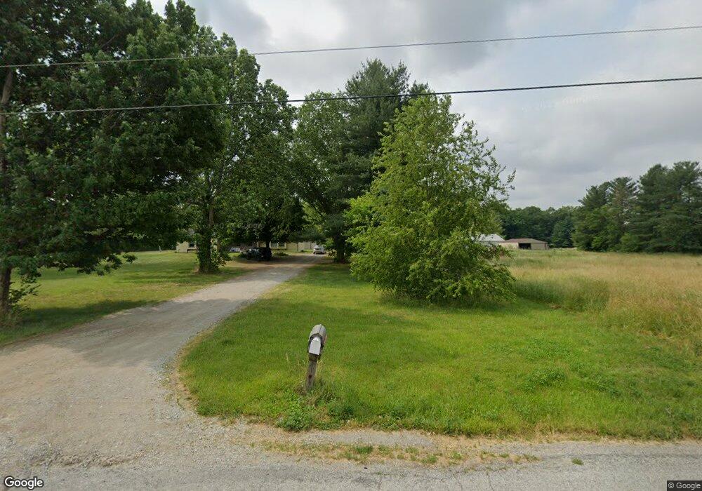
6121 W 700 S Westpoint, IN 47992
Estimated Value: $120,000 - $242,000
--
Bed
--
Bath
--
Sq Ft
2.23
Acres
About This Home
This home is located at 6121 W 700 S, Westpoint, IN 47992 and is currently estimated at $181,000. 6121 W 700 S is a home located in Tippecanoe County with nearby schools including Mintonye Elementary School, Southwestern Middle School, and McCutcheon High School.
Ownership History
Date
Name
Owned For
Owner Type
Purchase Details
Closed on
Jul 19, 2007
Sold by
Matthews Douglas H and Matthews Jennifer
Bought by
Lafayette Community Bank
Current Estimated Value
Purchase Details
Closed on
Aug 31, 2004
Sold by
Matthews Douglas H and Matthews Jennifer
Bought by
Matthews Douglas H and Matthews Jennifer
Purchase Details
Closed on
Jan 16, 2004
Sold by
Sutton Jeffrey C and Sutton Christina M
Bought by
Matthews Douglas H and Matthews Jennifer
Home Financials for this Owner
Home Financials are based on the most recent Mortgage that was taken out on this home.
Original Mortgage
$150,000
Interest Rate
6.75%
Mortgage Type
Purchase Money Mortgage
Create a Home Valuation Report for This Property
The Home Valuation Report is an in-depth analysis detailing your home's value as well as a comparison with similar homes in the area
Home Values in the Area
Average Home Value in this Area
Purchase History
| Date | Buyer | Sale Price | Title Company |
|---|---|---|---|
| Lafayette Community Bank | $118,000 | None Available | |
| Matthews Douglas H | -- | -- | |
| Matthews Douglas H | -- | Poelstra Title Company |
Source: Public Records
Mortgage History
| Date | Status | Borrower | Loan Amount |
|---|---|---|---|
| Previous Owner | Matthews Douglas H | $150,000 |
Source: Public Records
Tax History Compared to Growth
Tax History
| Year | Tax Paid | Tax Assessment Tax Assessment Total Assessment is a certain percentage of the fair market value that is determined by local assessors to be the total taxable value of land and additions on the property. | Land | Improvement |
|---|---|---|---|---|
| 2024 | $157 | $5,100 | $5,100 | -- |
| 2023 | $76 | $5,100 | $5,100 | $0 |
| 2022 | $78 | $5,100 | $5,100 | $0 |
| 2021 | $80 | $5,100 | $5,100 | $0 |
| 2020 | $79 | $5,100 | $5,100 | $0 |
| 2019 | $79 | $5,100 | $5,100 | $0 |
| 2018 | $77 | $5,100 | $5,100 | $0 |
| 2017 | $75 | $5,100 | $5,100 | $0 |
| 2016 | $76 | $5,100 | $5,100 | $0 |
| 2014 | $218 | $14,700 | $5,100 | $9,600 |
| 2013 | $228 | $14,600 | $5,100 | $9,500 |
Source: Public Records
Map
Nearby Homes
- 6243 S 700 W
- 4400 Silver Shale Ln
- 4400 Silver Shale Ln
- 6943 Main St
- 7008 Main St
- 4511 Indiana 25
- 9227 S 900 W
- 4510 Indiana 25
- 4545 S 175 W
- 809 Ravenstone Dr
- 1062 N Admirals Pointe Dr
- 4254-4268 Admirals Cove Dr
- 825 Drydock Dr
- 4336 Admirals Cove Dr
- 0 W 500 S
- 4654 Flagship Ln
- 892 Ravenstone Dr
- 775 N Admirals Pointe Dr
- 857 Ravenstone Dr
- 880 Drydock Dr