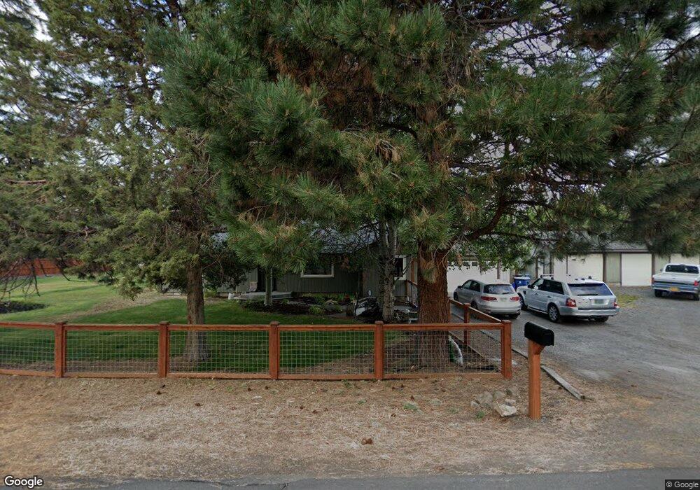
61215 Benham Rd Bend, OR 97702
Old Farm District NeighborhoodEstimated Value: $557,000 - $641,000
3
Beds
2
Baths
1,472
Sq Ft
$406/Sq Ft
Est. Value
About This Home
This home is located at 61215 Benham Rd, Bend, OR 97702 and is currently estimated at $597,691, approximately $406 per square foot. 61215 Benham Rd is a home located in Deschutes County with nearby schools including R.E. Jewell Elementary School, High Desert Middle School, and Deschutes River Montessori School.
Ownership History
Date
Name
Owned For
Owner Type
Purchase Details
Closed on
Jul 26, 2022
Sold by
Eric Spotten
Bought by
Arnold Irrigation District
Current Estimated Value
Purchase Details
Closed on
May 28, 2015
Sold by
Brown Scott J and Brown Vicky L
Bought by
Spotten Eric A
Home Financials for this Owner
Home Financials are based on the most recent Mortgage that was taken out on this home.
Original Mortgage
$274,928
Interest Rate
4.37%
Mortgage Type
FHA
Create a Home Valuation Report for This Property
The Home Valuation Report is an in-depth analysis detailing your home's value as well as a comparison with similar homes in the area
Home Values in the Area
Average Home Value in this Area
Purchase History
| Date | Buyer | Sale Price | Title Company |
|---|---|---|---|
| Arnold Irrigation District | -- | None Listed On Document | |
| Spotten Eric A | $280,000 | First American Title |
Source: Public Records
Mortgage History
| Date | Status | Borrower | Loan Amount |
|---|---|---|---|
| Previous Owner | Spotten Eric A | $274,928 |
Source: Public Records
Tax History Compared to Growth
Tax History
| Year | Tax Paid | Tax Assessment Tax Assessment Total Assessment is a certain percentage of the fair market value that is determined by local assessors to be the total taxable value of land and additions on the property. | Land | Improvement |
|---|---|---|---|---|
| 2025 | $3,610 | $213,650 | -- | -- |
| 2024 | $3,473 | $207,430 | -- | -- |
| 2023 | $3,220 | $201,390 | $0 | $0 |
| 2022 | $3,004 | $189,840 | $0 | $0 |
| 2021 | $3,009 | $184,320 | $0 | $0 |
| 2020 | $2,854 | $184,320 | $0 | $0 |
| 2019 | $2,775 | $178,960 | $0 | $0 |
| 2018 | $2,697 | $173,750 | $0 | $0 |
| 2017 | $2,618 | $168,690 | $0 | $0 |
| 2016 | $2,496 | $163,780 | $0 | $0 |
| 2015 | $2,427 | $159,010 | $0 | $0 |
| 2014 | $2,356 | $154,380 | $0 | $0 |
Source: Public Records
Map
Nearby Homes
- 61280 Parrell Rd Unit 10
- 20250 Narnia Place
- 20260 Gaines Ct
- 61170 Parrell Rd
- 20289 Knightsbridge Place
- 61217 SE Wagyu Dr Unit 151
- 61221 SE Wagyu Dr Unit Lot 152
- 61168 SE Wagyu Dr Unit Lot 120
- 20414 Murphy Rd
- 20607 SE Boer Place SE
- 20619 SE Boer Place SE Unit Lot 131
- 61194 SE Berkshire Way Unit Lot 135
- 20457 Aberdeen Dr
- The Jackson Plan at Countryside
- The Cascade Plan at Countryside
- 61178 SE Berkshire Way Unit Lot 110
- 61174 SE Berkshire Way Unit Lot 109
- 20450 Jacklight Ln
- 61366 SE Preston St
- 61441 SE Daybreak Ct Unit Lot 10