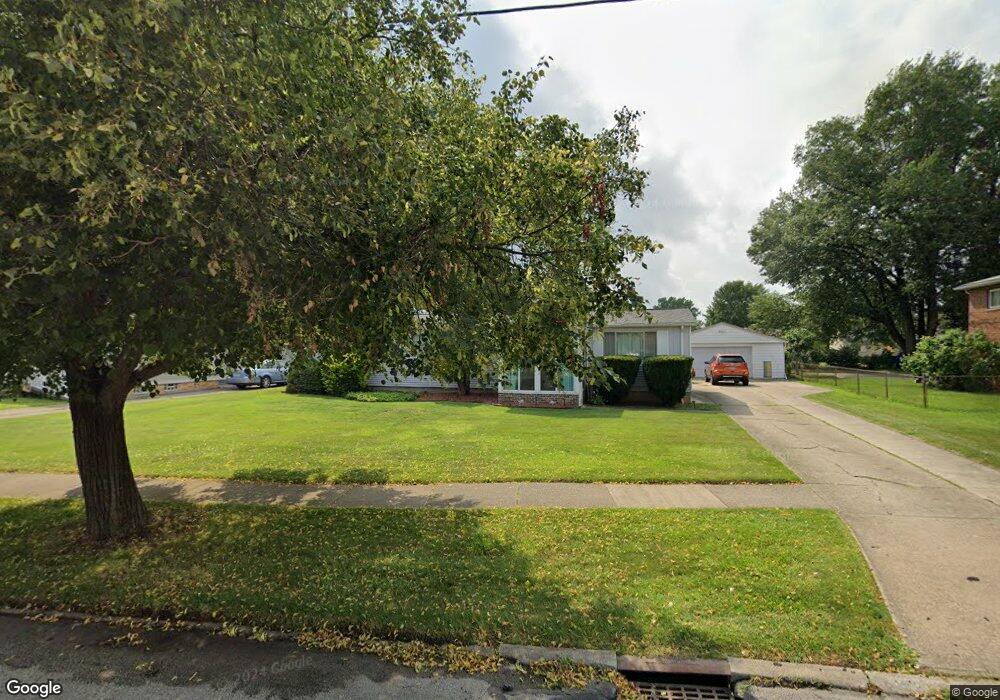
6122 Eavenson Rd Brookpark, OH 44142
Estimated Value: $210,626 - $243,000
3
Beds
2
Baths
1,188
Sq Ft
$188/Sq Ft
Est. Value
About This Home
This home is located at 6122 Eavenson Rd, Brookpark, OH 44142 and is currently estimated at $223,657, approximately $188 per square foot. 6122 Eavenson Rd is a home located in Cuyahoga County with nearby schools including Berea-Midpark Middle School, Berea-Midpark High School, and Huber Heights Preparatory Academy Parma Academy.
Ownership History
Date
Name
Owned For
Owner Type
Purchase Details
Closed on
Jun 1, 2022
Sold by
Rozek Family Revocable Living Trust
Bought by
Yates Ann M
Current Estimated Value
Purchase Details
Closed on
May 30, 2022
Sold by
Rozek Family Revocable Living Trust and Yates Ann M
Bought by
Yates Ann M
Purchase Details
Closed on
Apr 7, 2000
Sold by
Rozek Joseph W and Rozek Rosemarie L
Bought by
Rozek Joseph W and Rozek Rosemarie L
Purchase Details
Closed on
Mar 25, 1982
Sold by
Rosemarie L
Bought by
Rozek Joseph W
Purchase Details
Closed on
Jan 1, 1975
Bought by
Rosemarie L
Create a Home Valuation Report for This Property
The Home Valuation Report is an in-depth analysis detailing your home's value as well as a comparison with similar homes in the area
Home Values in the Area
Average Home Value in this Area
Purchase History
| Date | Buyer | Sale Price | Title Company |
|---|---|---|---|
| Yates Ann M | -- | Jackson Dennis C | |
| Yates Ann M | -- | None Listed On Document | |
| Rozek Joseph W | -- | -- | |
| Rozek Joseph W | -- | -- | |
| Rosemarie L | -- | -- |
Source: Public Records
Tax History
| Year | Tax Paid | Tax Assessment Tax Assessment Total Assessment is a certain percentage of the fair market value that is determined by local assessors to be the total taxable value of land and additions on the property. | Land | Improvement |
|---|---|---|---|---|
| 2024 | $3,112 | $61,705 | $14,665 | $47,040 |
| 2023 | $3,345 | $54,920 | $12,670 | $42,250 |
| 2022 | $3,322 | $54,920 | $12,670 | $42,250 |
| 2021 | $3,302 | $54,920 | $12,670 | $42,250 |
| 2020 | $2,977 | $43,580 | $10,050 | $33,530 |
| 2019 | $2,888 | $124,500 | $28,700 | $95,800 |
| 2018 | $2,876 | $43,580 | $10,050 | $33,530 |
| 2017 | $2,744 | $38,400 | $8,680 | $29,720 |
| 2016 | $2,721 | $38,400 | $8,680 | $29,720 |
| 2015 | $2,689 | $38,400 | $8,680 | $29,720 |
| 2014 | $2,689 | $40,430 | $9,140 | $31,290 |
Source: Public Records
Map
Nearby Homes
- 6210 Siegler Dr
- 6213 Siegler Dr
- 6040 Slater Dr
- 6490 Grosse Dr
- 6572 Liberty Bell Dr Unit 23C
- 16001 Sylvia Dr
- 16117 Hocking Blvd
- 6728 Benedict Dr
- 16379 Hummel Rd
- 6377 Ledgebrook Dr
- 6748 Benedict Dr
- 6752 Benedict Dr
- 6720 Benedict Dr
- 6744 Benedict Dr
- 6724 Benedict Dr
- 15532 Rademaker Dr
- 15995 Hummel Rd
- 6744 Fry Rd Unit 4
- 16761 Orchard Grove Dr Unit 6808A
- 6710 Woodruff Ct
- 6132 Eavenson Rd
- 6112 Eavenson Rd
- 6112 Eavenson Rd
- 6142 Eavenson Rd
- 6102 Eavenson Rd
- 6102 Eavenson Rd
- 6102 Eavenson Rd Unit B
- 6163 Zehman Dr
- 6157 Zehman Dr
- 6169 Zehman Dr
- 6153 Zehman Dr
- 6123 Eavenson Rd
- 6152 Eavenson Rd
- 6175 Zehman Dr
- 6181 Zehman Dr
- 6158 Eavenson Rd
- 6133 Eavenson Rd
- 6189 Zehman Dr
- 6143 Eavenson Rd
- 18108 Sylvia Dr
Your Personal Tour Guide
Ask me questions while you tour the home.