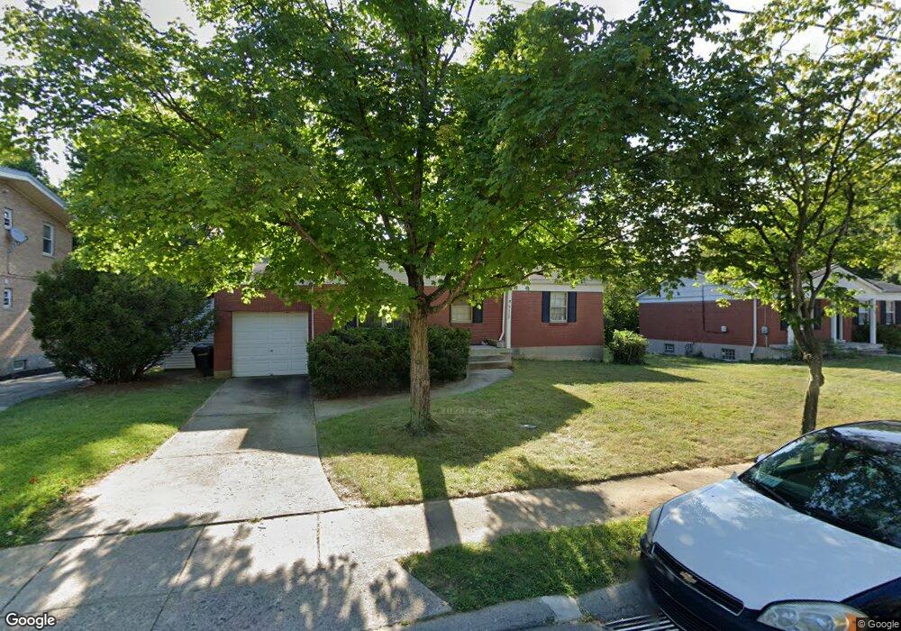
6122 Faircrest Dr Cincinnati, OH 45224
College Hill NeighborhoodEstimated Value: $213,774 - $248,000
3
Beds
2
Baths
1,064
Sq Ft
$211/Sq Ft
Est. Value
About This Home
This home is located at 6122 Faircrest Dr, Cincinnati, OH 45224 and is currently estimated at $224,444, approximately $210 per square foot. 6122 Faircrest Dr is a home located in Hamilton County with nearby schools including Pleasant Hill Elementary School, Robert A. Taft Information Technology High School, and Western Hills High School.
Ownership History
Date
Name
Owned For
Owner Type
Purchase Details
Closed on
Apr 1, 2008
Sold by
Llewellyn Carol L and Caldwell Carol L
Bought by
Caldwell Carol L
Current Estimated Value
Create a Home Valuation Report for This Property
The Home Valuation Report is an in-depth analysis detailing your home's value as well as a comparison with similar homes in the area
Home Values in the Area
Average Home Value in this Area
Purchase History
| Date | Buyer | Sale Price | Title Company |
|---|---|---|---|
| Caldwell Carol L | -- | None Available |
Source: Public Records
Tax History Compared to Growth
Tax History
| Year | Tax Paid | Tax Assessment Tax Assessment Total Assessment is a certain percentage of the fair market value that is determined by local assessors to be the total taxable value of land and additions on the property. | Land | Improvement |
|---|---|---|---|---|
| 2024 | $3,249 | $54,145 | $11,774 | $42,371 |
| 2023 | $3,322 | $54,145 | $11,774 | $42,371 |
| 2022 | $2,258 | $32,901 | $9,587 | $23,314 |
| 2021 | $2,168 | $32,901 | $9,587 | $23,314 |
| 2020 | $2,231 | $32,901 | $9,587 | $23,314 |
| 2019 | $2,140 | $28,862 | $8,411 | $20,451 |
| 2018 | $2,143 | $28,862 | $8,411 | $20,451 |
| 2017 | $2,036 | $28,862 | $8,411 | $20,451 |
| 2016 | $2,241 | $31,350 | $8,974 | $22,376 |
| 2015 | $2,022 | $31,350 | $8,974 | $22,376 |
| 2014 | $2,036 | $31,350 | $8,974 | $22,376 |
| 2013 | $2,134 | $32,320 | $9,251 | $23,069 |
Source: Public Records
Map
Nearby Homes
- 6123 Faircrest Ct
- 1137 Homeside Ave
- 1147 Homeside Ave
- 1205 Wionna Ave
- 6014 Argus Rd
- 1090 Elda Ln
- 1428 Ambrose Ave
- 5923 Lantana Ave
- 1437 Ambrose Ave
- 1127 Cedar Ave
- 5839 Argus Rd
- 1417 Cedar Ave
- 6085 Capri Dr
- 5773 Lantana Ave
- 1406 Wittekind Terrace
- 6000 Capri Dr
- 1453 Larrywood Ln
- 6029 Waldway Ln
- 1541 Wittekind Terrace
- 1054 Grayview Ct
- 6130 Faircrest Dr
- 6116 Faircrest Dr
- 1233 Toluca Ct
- 1229 Toluca Ct
- 6127 Faircrest Dr
- 1234 Toluca Ct
- 6110 Faircrest Dr
- 6133 Faircrest Dr
- 6121 Faircrest Dr
- 6142 Faircrest Dr
- 6154 Faircrest Ct
- 1225 Toluca Ct
- 1230 Toluca Ct
- 6146 Faircrest Dr
- 6124 Faircrest Ct
- 6128 Faircrest Ct
- 6120 Faircrest Ct
- 6132 Faircrest Ct
- 1221 Toluca Ct
- 1226 Toluca Ct