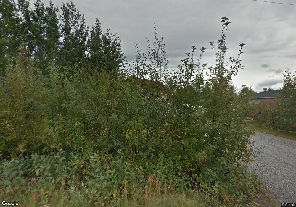
6123 S Auora Dr Wasilla, AK 99654
Estimated Value: $284,000 - $384,460
--
Bed
3
Baths
936
Sq Ft
$366/Sq Ft
Est. Value
About This Home
This home is located at 6123 S Auora Dr, Wasilla, AK 99654 and is currently estimated at $342,115, approximately $365 per square foot. 6123 S Auora Dr is a home located in Matanuska-Susitna Borough with nearby schools including Dena'ina Elementary School and Joe Redington Senior Junior/Senior High School.
Ownership History
Date
Name
Owned For
Owner Type
Purchase Details
Closed on
Mar 1, 2011
Sold by
Laudert Michael W and Laudert Mike W
Bought by
Laudert Michael W and Laudert Dawn L
Current Estimated Value
Home Financials for this Owner
Home Financials are based on the most recent Mortgage that was taken out on this home.
Original Mortgage
$126,090
Interest Rate
4.71%
Mortgage Type
New Conventional
Create a Home Valuation Report for This Property
The Home Valuation Report is an in-depth analysis detailing your home's value as well as a comparison with similar homes in the area
Home Values in the Area
Average Home Value in this Area
Purchase History
| Date | Buyer | Sale Price | Title Company |
|---|---|---|---|
| Laudert Michael W | -- | Mat Su Title Ins Agency Inc |
Source: Public Records
Mortgage History
| Date | Status | Borrower | Loan Amount |
|---|---|---|---|
| Closed | Laudert Michael W | $126,090 |
Source: Public Records
Tax History Compared to Growth
Tax History
| Year | Tax Paid | Tax Assessment Tax Assessment Total Assessment is a certain percentage of the fair market value that is determined by local assessors to be the total taxable value of land and additions on the property. | Land | Improvement |
|---|---|---|---|---|
| 2025 | $3,687 | $295,400 | $24,000 | $271,400 |
| 2024 | $3,687 | $279,900 | $24,000 | $255,900 |
| 2023 | $3,484 | $270,400 | $24,000 | $246,400 |
| 2022 | $3,430 | $245,500 | $24,000 | $221,500 |
| 2021 | $3,359 | $217,500 | $24,000 | $193,500 |
| 2020 | $3,246 | $204,100 | $24,000 | $180,100 |
| 2019 | $3,179 | $198,300 | $24,000 | $174,300 |
| 2018 | $3,161 | $198,200 | $24,000 | $174,200 |
| 2017 | $3,123 | $195,800 | $24,000 | $171,800 |
| 2016 | $3,053 | $196,000 | $22,000 | $174,000 |
| 2015 | $3,706 | $192,300 | $22,000 | $170,300 |
| 2014 | $3,706 | $185,000 | $22,000 | $163,000 |
Source: Public Records
Map
Nearby Homes
- 7444 W Carmel Rd
- 7908 W Mustafa Cir
- L1A Patricia Subdivision
- 6532 S Wassim Cir
- 6129 S Knik Goose Bay Rd
- 5620 S Hanson Loop
- 8118 W Aurora Heights Loop
- 8484 W Bunting St
- 7985 S Settlers Bay Dr
- L1 B1 W Aurora Heights Loop
- 6960 W Dow Dr
- 6661 S Lark Cir
- 6921 W Colony Dr
- 7025 S Gilleys Cir
- 7160 W Gladstone Ln
- 6917 Bogle Bluff Dr
- 6804 Bogle Bluff Dr
- 6850 Bogle Bluff Dr
- 6221 S Roosevelt Dr
- 7675 W Vecera Dr
- 6123 S Aurora Dr
- 6157 S Aurora Dr
- 6099 S Aurora Dr
- 6099 Aurora Dr
- 6092 S Aurora Dr
- 6073 S Aurora Dr
- 6161 S Aurora Dr
- 6073 S Aurora Dr
- 6140 S Aurora Dr
- 7782 W Terrestrial Ave
- L4 B1 Aurora Dr
- L3 B1 Aurora Dr
- L2 B1 Aurora Dr
- B1L4 Aurora Dr
- B1L3 Aurora Dr
- B1L2 Aurora Dr
- B1L1 Aurora Dr
- L9 B3 Aurora Dr
- L8 B3 Aurora Dr
- L7 B3 Aurora Dr
