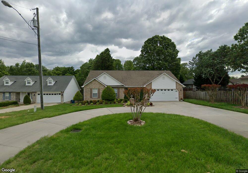
6124 Weant Rd High Point, NC 27263
Estimated Value: $287,001 - $330,000
Studio
2
Baths
1,514
Sq Ft
$209/Sq Ft
Est. Value
About This Home
This home is located at 6124 Weant Rd, High Point, NC 27263 and is currently estimated at $316,250, approximately $208 per square foot. 6124 Weant Rd is a home located in Randolph County with nearby schools including John R. Lawrence Elementary School, Wheatmore Middle School, and Trinity High School.
Ownership History
Date
Name
Owned For
Owner Type
Purchase Details
Closed on
Nov 26, 2003
Sold by
Cecil Herman D and Cecil Karen M
Bought by
Fielding Patricia M
Current Estimated Value
Home Financials for this Owner
Home Financials are based on the most recent Mortgage that was taken out on this home.
Original Mortgage
$108,000
Outstanding Balance
$49,811
Interest Rate
6.04%
Mortgage Type
Purchase Money Mortgage
Estimated Equity
$266,439
Create a Home Valuation Report for This Property
The Home Valuation Report is an in-depth analysis detailing your home's value as well as a comparison with similar homes in the area
Home Values in the Area
Average Home Value in this Area
Purchase History
| Date | Buyer | Sale Price | Title Company |
|---|---|---|---|
| Fielding Patricia M | $135,000 | -- |
Source: Public Records
Mortgage History
| Date | Status | Borrower | Loan Amount |
|---|---|---|---|
| Open | Fielding Patricia M | $108,000 |
Source: Public Records
Tax History
| Year | Tax Paid | Tax Assessment Tax Assessment Total Assessment is a certain percentage of the fair market value that is determined by local assessors to be the total taxable value of land and additions on the property. | Land | Improvement |
|---|---|---|---|---|
| 2025 | $2,462 | $236,170 | $54,780 | $181,390 |
| 2024 | $2,438 | $236,170 | $54,780 | $181,390 |
| 2023 | $2,438 | $236,170 | $54,780 | $181,390 |
| 2022 | $1,854 | $156,050 | $26,290 | $129,760 |
| 2021 | $1,854 | $156,050 | $26,290 | $129,760 |
| 2020 | $1,812 | $156,050 | $26,290 | $129,760 |
| 2019 | $1,812 | $156,050 | $26,290 | $129,760 |
| 2018 | $1,548 | $130,000 | $26,290 | $103,710 |
| 2016 | $1,517 | $130,001 | $26,290 | $103,711 |
| 2015 | $1,517 | $130,001 | $26,290 | $103,711 |
| 2014 | -- | $130,001 | $26,290 | $103,711 |
Source: Public Records
Map
Nearby Homes
- 6071 Weant Rd
- 100 Lindsay Dr
- 6047 Suits Rd
- 0-C Us Highway 311
- 9622 Us Highway 311
- 309 Alison Ln
- 305 Alison Ln
- 5005 Country Ln
- 108 Sprucewood Ct
- 0 Sprucewood Ct
- 0-A Us Highway 311
- 1202 Dogwood Ln
- 0-B Us Highway 311
- 0 Crestwood Dr
- 107 Autumn Hill Ct
- 4375 Huff Rd
- 9256 Us Highway 311
- 118 Rand Blvd
- 113 Oak Way
- 147 Dove Meadows Dr
- 6132 Weant Rd
- 103 Preston Ct
- 105 Preston Ct
- 101 Preston Ct
- 200 Powell Way
- 107 Preston Ct
- 6127 Weant Rd
- 3287 Wood Ave
- 6135 Weant Rd
- 405 Center Pointe Ct
- 409 Center Pointe Ct
- 401 Center Pointe Ct
- 202 Powell Way
- 102 Preston Ct
- 104 Preston Ct
- 110 Preston Ct
- 108 Preston Ct
- 106 Preston Ct
- 6093 Weant Rd
- 204 Powell Way
Your Personal Tour Guide
Ask me questions while you tour the home.