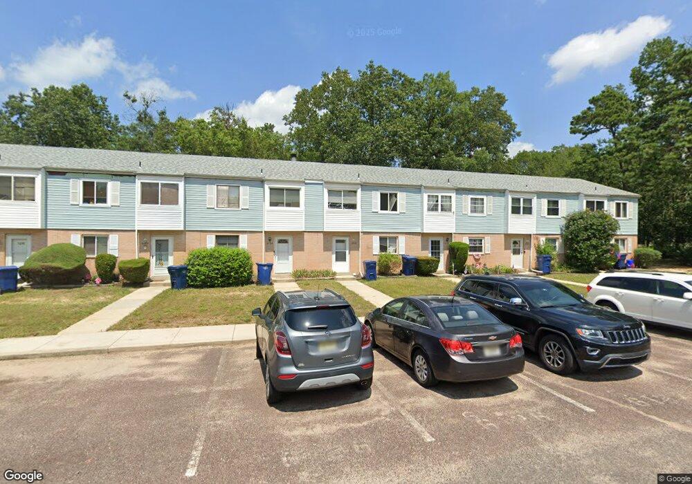
6125 Hoover Dr Mays Landing, NJ 08330
Estimated Value: $146,925 - $167,000
--
Bed
--
Bath
1,292
Sq Ft
$120/Sq Ft
Est. Value
About This Home
This home is located at 6125 Hoover Dr, Mays Landing, NJ 08330 and is currently estimated at $155,481, approximately $120 per square foot. 6125 Hoover Dr is a home located in Atlantic County with nearby schools including Joseph Shaner School, George L. Hess Educational Complex, and William Davies Middle School.
Ownership History
Date
Name
Owned For
Owner Type
Purchase Details
Closed on
Dec 12, 2017
Sold by
Watts Lionel R
Bought by
Jersey South Investors
Current Estimated Value
Purchase Details
Closed on
Mar 23, 2006
Sold by
Petracca Joseph
Bought by
Lionel Watts
Home Financials for this Owner
Home Financials are based on the most recent Mortgage that was taken out on this home.
Original Mortgage
$56,000
Interest Rate
6.32%
Mortgage Type
Purchase Money Mortgage
Create a Home Valuation Report for This Property
The Home Valuation Report is an in-depth analysis detailing your home's value as well as a comparison with similar homes in the area
Home Values in the Area
Average Home Value in this Area
Purchase History
| Date | Buyer | Sale Price | Title Company |
|---|---|---|---|
| Jersey South Investors | $13,500 | Madison Title Agency Llc | |
| Lionel Watts | $117,000 | -- |
Source: Public Records
Mortgage History
| Date | Status | Borrower | Loan Amount |
|---|---|---|---|
| Previous Owner | Lionel Watts | $56,000 |
Source: Public Records
Tax History Compared to Growth
Tax History
| Year | Tax Paid | Tax Assessment Tax Assessment Total Assessment is a certain percentage of the fair market value that is determined by local assessors to be the total taxable value of land and additions on the property. | Land | Improvement |
|---|---|---|---|---|
| 2025 | $1,451 | $63,200 | $20,000 | $43,200 |
| 2024 | $1,451 | $42,300 | $4,500 | $37,800 |
| 2023 | $1,365 | $42,300 | $4,500 | $37,800 |
| 2022 | $1,365 | $42,300 | $4,500 | $37,800 |
| 2021 | $1,140 | $35,400 | $3,000 | $32,400 |
| 2020 | $1,140 | $35,400 | $3,000 | $32,400 |
| 2019 | $1,142 | $35,400 | $3,000 | $32,400 |
| 2018 | $1,102 | $35,400 | $3,000 | $32,400 |
| 2017 | $1,085 | $35,400 | $3,000 | $32,400 |
| 2016 | $1,195 | $40,100 | $5,000 | $35,100 |
| 2015 | $1,154 | $40,100 | $5,000 | $35,100 |
| 2014 | $1,476 | $56,200 | $5,000 | $51,200 |
Source: Public Records
Map
Nearby Homes
- 37 Delancy Ct
- 6310 Phillips Ave
- 6301 Knight Ave
- 6314 Lance Ave
- 87 Devon Rd
- 6202 Lance Ave
- 0 Harding Hwy Unit 597638
- 0 Harding Hwy Unit NJAC2019438
- 6206 Roberts Ave
- 6140 Robin Dr
- 0 Wheeling Ave Unit NJAC2018470
- 16 Holly Ct
- 24 Holly Ct
- 1 Walnut Ct
- 11 Maple Ct
- 13 Hickory Ln
- 9 Oaks Dr Unit 341
- 39 Dogwood Ln Unit OAKS OF WEYMOUTH
- 39 Dogwood Ln
- 14 Hickory Ln
- 6124 Hoover Dr Unit D12
- 6123 Hoover Dr
- 6126 Hoover Dr Unit 12F
- 6122 Hoover Dr
- 6127 Hoover Dr
- 6121 Hoover Dr
- 6121 Hoover Dr Unit 1201
- 6128 Hoover Dr
- 6091 Hoover Dr Unit 9A
- 6092 Hoover Dr Unit 9B
- 6093 Hoover Dr Unit 9C
- 6094 Hoover Dr Unit 9D
- 6096 Hoover Dr Unit 9F
- 6095 Hoover Dr Unit 9E
- 6097 Hoover Dr
- 6136 Hoover Dr
- 6098 Hoover Dr Unit 9H
- 6135 Hoover Dr
- 6134 Hoover Dr
- 6137 Hoover Dr Unit 13G