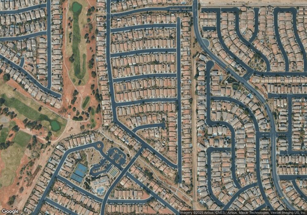
6125 Jutland Ave Las Vegas, NV 89122
Estimated Value: $326,000 - $337,000
2
Beds
2
Baths
1,157
Sq Ft
$289/Sq Ft
Est. Value
About This Home
This home is located at 6125 Jutland Ave, Las Vegas, NV 89122 and is currently estimated at $333,857, approximately $288 per square foot. 6125 Jutland Ave is a home located in Clark County with nearby schools including Cynthia Cunningham Elementary School, Kathleen & Tim Harney Middle School, and Chaparral High School.
Ownership History
Date
Name
Owned For
Owner Type
Purchase Details
Closed on
Apr 15, 2021
Sold by
Yeoman Sally A
Bought by
Sally Yeoman Trust and Yeoman
Current Estimated Value
Purchase Details
Closed on
Aug 23, 2006
Sold by
Pn Ii Inc
Bought by
Yeoman James D and Yeoman Sally A
Home Financials for this Owner
Home Financials are based on the most recent Mortgage that was taken out on this home.
Original Mortgage
$186,824
Interest Rate
6.7%
Mortgage Type
Unknown
Create a Home Valuation Report for This Property
The Home Valuation Report is an in-depth analysis detailing your home's value as well as a comparison with similar homes in the area
Home Values in the Area
Average Home Value in this Area
Purchase History
| Date | Buyer | Sale Price | Title Company |
|---|---|---|---|
| Sally Yeoman Trust | -- | Woodbury Bruce L | |
| Yeoman James D | $233,530 | Lawyers Title Of Nevada |
Source: Public Records
Mortgage History
| Date | Status | Borrower | Loan Amount |
|---|---|---|---|
| Previous Owner | Yeoman James D | $186,824 |
Source: Public Records
Tax History Compared to Growth
Tax History
| Year | Tax Paid | Tax Assessment Tax Assessment Total Assessment is a certain percentage of the fair market value that is determined by local assessors to be the total taxable value of land and additions on the property. | Land | Improvement |
|---|---|---|---|---|
| 2025 | $1,299 | $88,014 | $23,450 | $64,564 |
| 2024 | $1,262 | $88,014 | $23,450 | $64,564 |
| 2023 | $1,262 | $87,966 | $27,300 | $60,666 |
| 2022 | $1,228 | $79,179 | $23,800 | $55,379 |
| 2021 | $1,249 | $73,637 | $21,000 | $52,637 |
| 2020 | $1,070 | $71,892 | $19,950 | $51,942 |
| 2019 | $1,080 | $68,829 | $17,850 | $50,979 |
| 2018 | $1,049 | $63,225 | $14,000 | $49,225 |
| 2017 | $1,578 | $55,941 | $14,000 | $41,941 |
| 2016 | $1,069 | $55,552 | $12,950 | $42,602 |
| 2015 | $1,066 | $46,232 | $9,100 | $37,132 |
| 2014 | $1,035 | $37,641 | $7,000 | $30,641 |
Source: Public Records
Map
Nearby Homes
- 3640 Tack St
- 3735 Halter Dr
- 6128 Isola Peak Ave
- 6064 Isola Peak Ave
- 6228 Wood Stork Ave
- 3357 Sheep Canyon St
- 3520 Tack St
- 6097 Falconer Ave
- 3562 Driving Range St
- 6114 Saddle Horse Ave
- 6096 Saddle Horse Ave
- 5969 Swan Point Place Unit 1
- 6001 Falconer Ave
- 3591 Driving Range St
- 5977 Falconer Ave
- 3608 Tundra Swan St
- 6092 Fox Creek Ave
- 6095 Saddle Horse Ave
- 6085 Majestic Wind Ave
- 6094 Majestic Wind Ave
- 6107 Jutland Ave
- 6135 Jutland Ave
- 6099 Jutland Ave
- 6145 Jutland Ave
- 6122 Tatinger Ct
- 6108 Tatinger Ct
- 6136 Tatinger Ct
- 6091 Jutland Ave
- 6155 Jutland Ave
- 6126 Jutland Ave
- 6094 Tatinger Ct
- 6116 Jutland Ave
- 6150 Tatinger Ct
- 6136 Jutland Ave
- 6106 Jutland Ave
- 6165 Jutland Ave
- 6083 Jutland Ave
- 6146 Jutland Ave
- 6098 Jutland Ave
- 6080 Tatinger Ct
