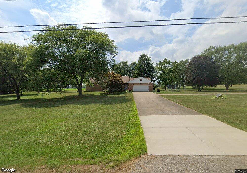
6125 Schloneger Dr Louisville, OH 44641
Estimated Value: $269,503 - $321,000
2
Beds
3
Baths
1,456
Sq Ft
$207/Sq Ft
Est. Value
About This Home
This home is located at 6125 Schloneger Dr, Louisville, OH 44641 and is currently estimated at $301,376, approximately $206 per square foot. 6125 Schloneger Dr is a home located in Stark County with nearby schools including Louisville High School and St. Thomas Aquinas High School & Middle School.
Ownership History
Date
Name
Owned For
Owner Type
Purchase Details
Closed on
May 14, 2008
Sold by
Erb Norma J
Bought by
Schloneger Eric C
Current Estimated Value
Home Financials for this Owner
Home Financials are based on the most recent Mortgage that was taken out on this home.
Original Mortgage
$120,650
Interest Rate
5.93%
Mortgage Type
Purchase Money Mortgage
Purchase Details
Closed on
Mar 8, 2005
Sold by
Schloneger John A and Schloneger Amy A
Bought by
Schloneger John A and Schloneger Amy A
Create a Home Valuation Report for This Property
The Home Valuation Report is an in-depth analysis detailing your home's value as well as a comparison with similar homes in the area
Home Values in the Area
Average Home Value in this Area
Purchase History
| Date | Buyer | Sale Price | Title Company |
|---|---|---|---|
| Schloneger Eric C | -- | Attorney | |
| Schloneger John A | -- | -- |
Source: Public Records
Mortgage History
| Date | Status | Borrower | Loan Amount |
|---|---|---|---|
| Previous Owner | Schloneger Eric C | $120,650 |
Source: Public Records
Tax History Compared to Growth
Tax History
| Year | Tax Paid | Tax Assessment Tax Assessment Total Assessment is a certain percentage of the fair market value that is determined by local assessors to be the total taxable value of land and additions on the property. | Land | Improvement |
|---|---|---|---|---|
| 2025 | -- | $82,570 | $16,870 | $65,700 |
| 2024 | -- | $82,570 | $16,870 | $65,700 |
| 2023 | $3,008 | $61,780 | $14,880 | $46,900 |
| 2022 | $1,477 | $60,520 | $14,880 | $45,640 |
| 2021 | $2,962 | $60,520 | $14,880 | $45,640 |
| 2020 | $2,525 | $54,500 | $13,410 | $41,090 |
| 2019 | $2,535 | $54,500 | $13,410 | $41,090 |
| 2018 | $2,527 | $54,500 | $13,410 | $41,090 |
| 2017 | $2,499 | $51,450 | $12,530 | $38,920 |
| 2016 | $2,371 | $49,950 | $11,450 | $38,500 |
| 2015 | $2,378 | $49,950 | $11,450 | $38,500 |
| 2014 | $241 | $43,550 | $9,980 | $33,570 |
| 2013 | $1,124 | $43,550 | $9,980 | $33,570 |
Source: Public Records
Map
Nearby Homes
- 6052 N Nickelplate St
- 5495 Meese Rd NE
- 5765 Maplegrove St
- 2015 E Main St
- 203 Brookfield St
- 910 Crosswyck Cir
- 1170 Winding Ridge Ave
- 316 E Reno Dr
- 0 Michigan Blvd
- 5474 Ravenna Ave
- 1812 E Broad St
- 428 Honeycrisp Dr NE
- 3047 Mcintosh Dr NE
- 432 Honeycrisp Dr NE
- 2962 Mcintosh Dr NE
- 2963 Mcintosh Dr NE
- 430 Honeycrisp Dr NE
- 2957 Mcintosh Dr NE
- 1715 High St
- 308 Superior St
- 6148 Schloneger Dr
- 6136 Schloneger Dr
- 6100 Schloneger Dr
- 6075 Schloneger Dr
- 6070 Schloneger Dr
- 6140 Schloneger Dr
- 6060 Schloneger Dr
- 6152 Schloneger Dr
- 6032 Schloneger Dr
- 0 Schloneger Dr NE
- 6000 Schloneger Dr
- 6160 Schloneger Dr
- 6029 Joliat Ave
- 6007 Schloneger Dr
- 6065 Joliat Ave
- 6165 Schloneger Dr
- 5963 Joliat Ave
- 6093 Joliat Ave
- 6135 Joliat Ave
- 6105 Joliat Ave