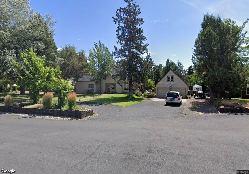
61258 King Jeroboam Ave Bend, OR 97702
Old Farm District NeighborhoodEstimated Value: $780,000 - $811,000
3
Beds
2
Baths
1,840
Sq Ft
$433/Sq Ft
Est. Value
About This Home
This home is located at 61258 King Jeroboam Ave, Bend, OR 97702 and is currently estimated at $796,321, approximately $432 per square foot. 61258 King Jeroboam Ave is a home located in Deschutes County with nearby schools including Silver Rail Elementary School, High Desert Middle School, and Bend Senior High School.
Ownership History
Date
Name
Owned For
Owner Type
Purchase Details
Closed on
Sep 30, 2004
Sold by
Maher Dennis L and Maher Delia L
Bought by
Randolph Gregory L and Randolph Yvonne M
Current Estimated Value
Home Financials for this Owner
Home Financials are based on the most recent Mortgage that was taken out on this home.
Original Mortgage
$184,900
Outstanding Balance
$89,981
Interest Rate
5.72%
Mortgage Type
Unknown
Estimated Equity
$706,340
Create a Home Valuation Report for This Property
The Home Valuation Report is an in-depth analysis detailing your home's value as well as a comparison with similar homes in the area
Home Values in the Area
Average Home Value in this Area
Purchase History
| Date | Buyer | Sale Price | Title Company |
|---|---|---|---|
| Randolph Gregory L | $274,900 | Amerititle |
Source: Public Records
Mortgage History
| Date | Status | Borrower | Loan Amount |
|---|---|---|---|
| Open | Randolph Gregory L | $184,900 |
Source: Public Records
Tax History Compared to Growth
Tax History
| Year | Tax Paid | Tax Assessment Tax Assessment Total Assessment is a certain percentage of the fair market value that is determined by local assessors to be the total taxable value of land and additions on the property. | Land | Improvement |
|---|---|---|---|---|
| 2025 | $5,206 | $308,090 | -- | -- |
| 2024 | $5,008 | $299,120 | -- | -- |
| 2023 | $4,643 | $290,410 | $0 | $0 |
| 2022 | $4,332 | $273,750 | $0 | $0 |
| 2021 | $4,338 | $265,780 | $0 | $0 |
| 2020 | $4,116 | $265,780 | $0 | $0 |
| 2019 | $4,001 | $258,040 | $0 | $0 |
| 2018 | $3,888 | $250,530 | $0 | $0 |
| 2017 | $3,774 | $243,240 | $0 | $0 |
| 2016 | $3,599 | $236,160 | $0 | $0 |
| 2015 | $3,500 | $229,290 | $0 | $0 |
| 2014 | $3,397 | $222,620 | $0 | $0 |
Source: Public Records
Map
Nearby Homes
- 61250 15th St
- 20886 King David Ave
- 20868 Tamar Ln
- 20921 Sage Creek Dr
- 20743 Blacksmith Cir
- 61160 Hilmer Creek Dr
- 61376 Robin Hood Ln
- 61159 Ladera Rd
- 61245 Crescent Ct
- 61076 Manhae Loop
- 20720 Will Scarlet Ln
- 61100 SE Stari Most Loop
- 20873 Greenmont Dr
- 20663 Jayhawk Ln
- 20749 Canterbury Ct
- 20653 Songbird Ln
- 61142 Brookhollow Dr
- 61450 Little John Ln
- 61197 Cottonwood Dr
- 20984 Via Sierra
- 61268 King Jeroboam Ave
- 61256 King Jeroboam Ave
- 61237 King Zedekiah Ave
- 61239 King Zedekiah Ave
- 61267 King Jeroboam Ave
- 61259 King Jeroboam Ave
- 61235 King Zedekiah Ave
- 61274 King Jeroboam Ave
- 61263 King Jeroboam Ave
- 61275 King Jeroboam Ave
- 61243 King Zedekiah Ave
- 61286 King Saul Ave
- 61288 King Saul Ave
- 61278 King Saul Ave
- 61279 King Jeroboam Ave
- 61238 King Zedekiah Ave
- 61236 SE King Zedekiah
- 61236 King Zedekiah Ave
- 61240 King Zedekiah Ave
- 20845 Chloe Ln