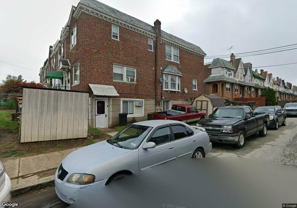
6127 Castor Ave Philadelphia, PA 19149
Oxford Circle NeighborhoodEstimated Value: $321,000 - $480,219
--
Bed
--
Bath
1,440
Sq Ft
$260/Sq Ft
Est. Value
About This Home
This home is located at 6127 Castor Ave, Philadelphia, PA 19149 and is currently estimated at $374,740, approximately $260 per square foot. 6127 Castor Ave is a home with nearby schools including Gilbert Spruance School, Northeast High School, and The Philadelphia Charter School for the Arts & Sciences.
Ownership History
Date
Name
Owned For
Owner Type
Purchase Details
Closed on
Aug 18, 2005
Sold by
Logos Travel Corp
Bought by
Tan Debbie and Tan Richard D
Current Estimated Value
Home Financials for this Owner
Home Financials are based on the most recent Mortgage that was taken out on this home.
Original Mortgage
$150,000
Outstanding Balance
$78,958
Interest Rate
5.79%
Mortgage Type
Commercial
Estimated Equity
$295,782
Create a Home Valuation Report for This Property
The Home Valuation Report is an in-depth analysis detailing your home's value as well as a comparison with similar homes in the area
Home Values in the Area
Average Home Value in this Area
Purchase History
| Date | Buyer | Sale Price | Title Company |
|---|---|---|---|
| Tan Debbie | $200,000 | -- |
Source: Public Records
Mortgage History
| Date | Status | Borrower | Loan Amount |
|---|---|---|---|
| Open | Tan Debbie | $150,000 |
Source: Public Records
Tax History Compared to Growth
Tax History
| Year | Tax Paid | Tax Assessment Tax Assessment Total Assessment is a certain percentage of the fair market value that is determined by local assessors to be the total taxable value of land and additions on the property. | Land | Improvement |
|---|---|---|---|---|
| 2026 | $3,036 | $281,000 | $56,200 | $224,800 |
| 2025 | $3,036 | $281,000 | $56,200 | $224,800 |
| 2024 | $3,036 | $281,000 | $56,200 | $224,800 |
| 2023 | $3,036 | $216,900 | $43,380 | $173,520 |
| 2022 | $2,165 | $216,900 | $43,380 | $173,520 |
| 2021 | $2,165 | $0 | $0 | $0 |
| 2020 | $2,165 | $0 | $0 | $0 |
| 2019 | $2,077 | $0 | $0 | $0 |
| 2018 | $2,079 | $0 | $0 | $0 |
| 2017 | $2,079 | $0 | $0 | $0 |
| 2016 | $2,079 | $0 | $0 | $0 |
| 2015 | $1,990 | $0 | $0 | $0 |
| 2014 | -- | $148,500 | $29,877 | $118,623 |
| 2012 | -- | $25,600 | $4,000 | $21,600 |
Source: Public Records
Map
Nearby Homes
- 1417 Stevens St
- 6135 Castor Ave
- 6111 Castor Ave
- 1414 Mckinley St
- 1439 Higbee St
- 1453 Mckinley St
- 6239 Castor Ave
- 1428 Higbee St
- 1438 Higbee St
- 1440 Robbins Ave
- 1507 Benner St
- 1427 Robbins Ave
- 6019 Alma St
- 1531 Stevens St
- 6119 Belden St
- 6008 Alma St
- 1551 Lardner St
- 1548 Lardner St
- 7040 E Roosevelt Blvd
- 7536 E Roosevelt Blvd
- 6129 Castor Ave
- 6131 Castor Ave
- 6133 Castor Ave
- 6125 Castor Ave
- 1415 Stevens St
- 6123 Castor Ave
- 6137 Castor Ave
- 1414 Stevens St
- 6121 Castor Ave
- 1419 Stevens St
- 1416 Stevens St
- 1414 Devereaux Ave
- 6139 Castor Ave
- 6119 Castor Ave
- 1421 Stevens St
- 1418 Stevens St
- 1416 Devereaux Ave
- 1420 Stevens St
- 1423 Stevens St
- 6117 Castor Ave