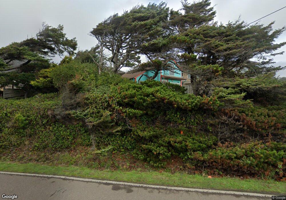
6128 NE Logan Rd Lincoln City, OR 97367
Estimated Value: $232,000 - $442,000
1
Bed
1
Bath
852
Sq Ft
$434/Sq Ft
Est. Value
About This Home
This home is located at 6128 NE Logan Rd, Lincoln City, OR 97367 and is currently estimated at $369,803, approximately $434 per square foot. 6128 NE Logan Rd is a home located in Lincoln County with nearby schools including Oceanlake Elementary School, Taft Elementary School, and Taft High School.
Ownership History
Date
Name
Owned For
Owner Type
Purchase Details
Closed on
Sep 25, 2014
Sold by
Portwood Margaret A
Bought by
Portwood Margaret A and Portwood Robert D
Current Estimated Value
Purchase Details
Closed on
Jan 8, 2014
Sold by
Fisher James R
Bought by
Portwood Margaret A
Purchase Details
Closed on
Dec 16, 2010
Sold by
Fisher James R
Bought by
Portwood Margaret Ann and Fisher James R
Purchase Details
Closed on
Apr 20, 2007
Sold by
Randall Joan A and Fisher James R
Bought by
Fisher James R
Create a Home Valuation Report for This Property
The Home Valuation Report is an in-depth analysis detailing your home's value as well as a comparison with similar homes in the area
Home Values in the Area
Average Home Value in this Area
Purchase History
| Date | Buyer | Sale Price | Title Company |
|---|---|---|---|
| Portwood Margaret A | -- | None Available | |
| Portwood Margaret A | $86,000 | None Available | |
| Portwood Margaret Ann | -- | First American Title Ins Co | |
| Fisher James R | -- | None Available |
Source: Public Records
Tax History Compared to Growth
Tax History
| Year | Tax Paid | Tax Assessment Tax Assessment Total Assessment is a certain percentage of the fair market value that is determined by local assessors to be the total taxable value of land and additions on the property. | Land | Improvement |
|---|---|---|---|---|
| 2024 | $4,130 | $244,080 | -- | -- |
| 2023 | $4,016 | $236,980 | $0 | $0 |
| 2022 | $3,904 | $230,080 | $0 | $0 |
| 2021 | $3,675 | $223,380 | $0 | $0 |
| 2020 | $3,584 | $216,880 | $0 | $0 |
| 2019 | $3,439 | $209,170 | $0 | $0 |
| 2018 | $3,515 | $212,390 | $0 | $0 |
| 2017 | $3,453 | $211,740 | $0 | $0 |
| 2016 | $3,384 | $214,140 | $0 | $0 |
| 2015 | $3,325 | $207,910 | $0 | $0 |
| 2014 | $2,773 | $182,890 | $0 | $0 |
| 2013 | -- | $196,940 | $0 | $0 |
Source: Public Records
Map
Nearby Homes
- 6225 NW Logan Rd
- 6200 Blk NE Port Drive Tl 9200
- TL-7900 NE Oar Dr
- 5769 NW Logan Rd
- 5776 NW Keel Ave
- 5771 NW Jetty Ave
- 6421 NE Port Dr
- 0 NE 64th Dr Unit TL12000 443875862
- 6538 NE Logan Rd
- TL 12000 NE 64th Dr
- 5545 NW Logan Rd
- TL10400 NE Sal La Sea Dr
- 1994 NE Mulberry Loop
- 2022 Mulberry
- 6604 NE Logan Rd
- 5409 NW Logan Rd
- 1851 NE 67th St
- 5329 NE Port Ln
- 1850 NE 68th St
- 2473 NE 57th Ct
- 6142 NE Logan Rd
- 6110 NW Logan Rd
- 6138 NE Logan Rd
- 6104 NE Logan Rd
- 6133 NE Mast Ave
- 6125 NE Mast Ave
- 6157 NE Mast Ave
- 6185 NE Mast Ave
- 6164 NE Logan Rd
- 6111 NW Logan Rd
- 1828 NE 71st St
- 6135 NW Logan Rd
- 6225 NE Mast Ave
- 6204 Logan Rd
- 6204 NW Logan Rd
- 1855 NW 51st
- 6147 NW Logan Rd
- 5336 NE Mast Ave
- 6100 NE Mast Ave
- 1900 NE Spindrift Ct