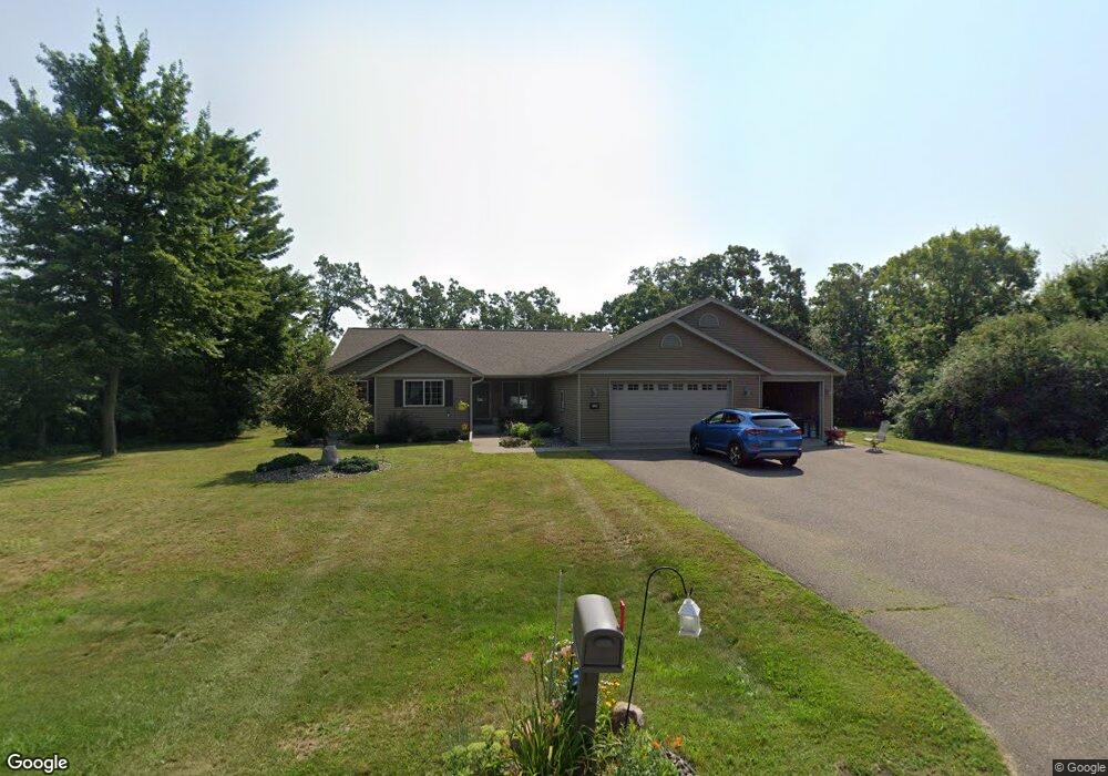
6129 191st St Chippewa Falls, WI 54729
Estimated Value: $397,655 - $435,000
3
Beds
2
Baths
1,584
Sq Ft
$260/Sq Ft
Est. Value
About This Home
This home is located at 6129 191st St, Chippewa Falls, WI 54729 and is currently estimated at $411,414, approximately $259 per square foot. 6129 191st St is a home with nearby schools including Stillson Elementary School, Chippewa Falls Middle School, and Chippewa Falls High School.
Ownership History
Date
Name
Owned For
Owner Type
Purchase Details
Closed on
Feb 25, 2011
Sold by
Shaffer Gane C and Shaffer Judith A
Bought by
Freeman Varnon L and Freeman Cindy L
Current Estimated Value
Home Financials for this Owner
Home Financials are based on the most recent Mortgage that was taken out on this home.
Original Mortgage
$27,000
Outstanding Balance
$18,265
Interest Rate
4.85%
Estimated Equity
$393,149
Create a Home Valuation Report for This Property
The Home Valuation Report is an in-depth analysis detailing your home's value as well as a comparison with similar homes in the area
Home Values in the Area
Average Home Value in this Area
Purchase History
| Date | Buyer | Sale Price | Title Company |
|---|---|---|---|
| Freeman Varnon L | $27,000 | None Available |
Source: Public Records
Mortgage History
| Date | Status | Borrower | Loan Amount |
|---|---|---|---|
| Open | Freeman Varnon L | $27,000 |
Source: Public Records
Map
Nearby Homes
- 19019 62nd Ave
- 19845 County Highway X Unit 2
- 19845 County Highway X Unit 1
- 0 189th St
- 18753 67th Ave
- 18354 67th Ave S
- 6904 189th St
- 19740 70th Ave
- 4891 190th St Unit 1 & 2
- 18844 72nd Ave
- xxx 73rd Ave
- Lot 38 181st St
- 4797 177th St
- 17843 45th Ave
- 14626 45th Ave
- 11291 45th Ave
- 0 164th St Unit 1592059
- Lot 1 40th Ave
- Lot 2 40th Ave
- 908 Mooring Line Dr
- 6153 191st St
- 6101 191st St
- 19092 61st Ave
- 19081 61st Ave N
- 19095 61st Ave
- 6177 191st St
- 19067 61st Ave N
- 19067 61st Ave N Unit North
- 19096 61st Ave N
- 19068 61st Ave N
- 19213 County Highway X
- 19077 61st Ave
- 6191 191st St
- 19070 61st Ave N
- 19123 County Highway X
- 19233 County Highway X
- 19085 62nd Ave
- 19039 61st Ave N
- 19036 61st Ave
- 5942 192nd St
Your Personal Tour Guide
Ask me questions while you tour the home.